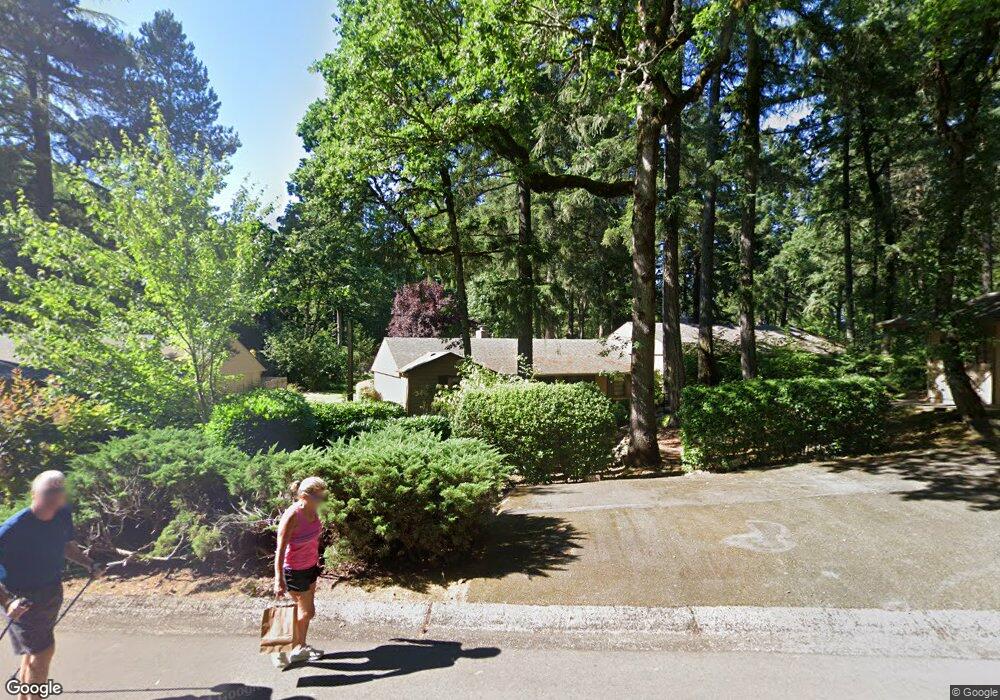
4345 Woodside Cir Lake Oswego, OR 97035
Bryant NeighborhoodEstimated Value: $575,000 - $808,000
3
Beds
2
Baths
1,616
Sq Ft
$398/Sq Ft
Est. Value
About This Home
This home is located at 4345 Woodside Cir, Lake Oswego, OR 97035 and is currently estimated at $643,634, approximately $398 per square foot. 4345 Woodside Cir is a home located in Clackamas County with nearby schools including River Grove Elementary School, Lakeridge Middle School, and Lakeridge High School.
Ownership History
Date
Name
Owned For
Owner Type
Purchase Details
Closed on
Sep 7, 2016
Sold by
Mclntosh Marcia L
Bought by
Mclntosh Marcia L and The Marcia L Mcintosh Living Trust
Current Estimated Value
Purchase Details
Closed on
Aug 22, 2005
Sold by
Whitfield James R
Bought by
Mcintosh Marcia L and Reinhardt William A
Home Financials for this Owner
Home Financials are based on the most recent Mortgage that was taken out on this home.
Original Mortgage
$169,000
Outstanding Balance
$87,935
Interest Rate
5.61%
Mortgage Type
Fannie Mae Freddie Mac
Estimated Equity
$555,699
Purchase Details
Closed on
Apr 25, 1996
Sold by
Jones Gladys G and Jones Charles P
Bought by
Whitfield James R
Home Financials for this Owner
Home Financials are based on the most recent Mortgage that was taken out on this home.
Original Mortgage
$129,200
Interest Rate
7.84%
Create a Home Valuation Report for This Property
The Home Valuation Report is an in-depth analysis detailing your home's value as well as a comparison with similar homes in the area
Home Values in the Area
Average Home Value in this Area
Purchase History
| Date | Buyer | Sale Price | Title Company |
|---|---|---|---|
| Mclntosh Marcia L | -- | None Available | |
| Mcintosh Marcia L | $299,000 | Ticor Title Insurance Compan | |
| Whitfield James R | $152,000 | Chicago Title Insurance Co |
Source: Public Records
Mortgage History
| Date | Status | Borrower | Loan Amount |
|---|---|---|---|
| Open | Mcintosh Marcia L | $169,000 | |
| Previous Owner | Whitfield James R | $129,200 |
Source: Public Records
Tax History Compared to Growth
Tax History
| Year | Tax Paid | Tax Assessment Tax Assessment Total Assessment is a certain percentage of the fair market value that is determined by local assessors to be the total taxable value of land and additions on the property. | Land | Improvement |
|---|---|---|---|---|
| 2025 | $4,746 | $273,451 | -- | -- |
| 2024 | $4,620 | $265,487 | -- | -- |
| 2023 | $4,620 | $257,755 | $0 | $0 |
| 2022 | $4,351 | $250,248 | $0 | $0 |
| 2021 | $4,019 | $242,960 | $0 | $0 |
| 2020 | $3,918 | $235,884 | $0 | $0 |
| 2019 | $3,821 | $229,014 | $0 | $0 |
| 2018 | $3,634 | $222,344 | $0 | $0 |
| 2017 | $3,506 | $215,868 | $0 | $0 |
| 2016 | $3,532 | $209,581 | $0 | $0 |
| 2015 | $3,412 | $203,477 | $0 | $0 |
| 2014 | $3,368 | $197,550 | $0 | $0 |
Source: Public Records
Map
Nearby Homes
- 18121 Deerbrush Ave
- 17855 Deerbrush Ave
- 17810 Sarah Hill Ln
- 18434 Sandpiper Cir
- 18300 Bryant Rd
- 4023 Melissa Dr
- 18706 Bryant Rd
- 17595 Kelok Rd
- 18541 Waxwing Way
- 4224 Haven St
- 18863 Indian Springs Rd
- 4123 Chad Dr
- 6 Westminster Dr
- 18581 Timbergrove Ct
- 4241 Cobb Way
- 4201 Childs Rd
- 18021 Tualata Ave
- 5225 Jean Rd Unit 307
- 4264 Westbay Rd
- 4160 Westbay Rd
- 4341 Woodside Cir
- 4351 Woodside Cir
- 4333 Woodside Cir
- 4363 Woodside Cir
- 4321 Woodside Cir
- 4371 Woodside Cir
- 4295 Woodside Cir
- 4342 Woodside Cir
- 4276 Woodside Cir
- 4385 Woodside Cir
- 4385 Woodside Cr Unit 1
- 4272 Woodside Cir
- 4270 Woodside Cir
- 4334 Woodside Cir
- 4283 Woodside Cir
- 4283 Woodside Cr
- 4282 Woodside Cir
- 4352 Woodside Cir
- 4366 Woodside Cir
- 4372 Woodside Cir