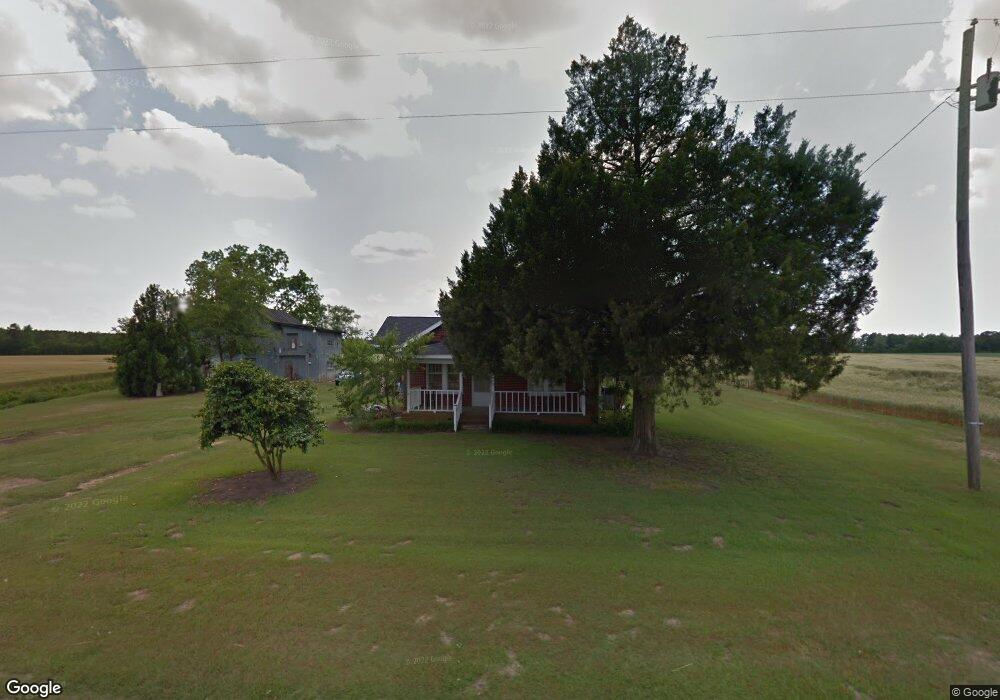
4347 Eason Rd La Grange, NC 28551
Estimated Value: $190,000 - $271,000
3
Beds
1
Bath
1,456
Sq Ft
$147/Sq Ft
Est. Value
About This Home
This home is located at 4347 Eason Rd, La Grange, NC 28551 and is currently estimated at $214,599, approximately $147 per square foot. 4347 Eason Rd is a home located in Lenoir County with nearby schools including La Grange Elementary School, E.B. Frink Middle School, and North Lenoir High School.
Ownership History
Date
Name
Owned For
Owner Type
Purchase Details
Closed on
Jun 9, 2016
Sold by
Parks Willie Hersell and Parks Denise Catoe
Bought by
Eason Amy O
Current Estimated Value
Create a Home Valuation Report for This Property
The Home Valuation Report is an in-depth analysis detailing your home's value as well as a comparison with similar homes in the area
Home Values in the Area
Average Home Value in this Area
Purchase History
| Date | Buyer | Sale Price | Title Company |
|---|---|---|---|
| Eason Amy O | $25,000 | Attorney |
Source: Public Records
Tax History
| Year | Tax Paid | Tax Assessment Tax Assessment Total Assessment is a certain percentage of the fair market value that is determined by local assessors to be the total taxable value of land and additions on the property. | Land | Improvement |
|---|---|---|---|---|
| 2025 | $1,424 | $181,980 | $26,796 | $155,184 |
| 2024 | $915 | $89,194 | $15,830 | $73,364 |
| 2023 | $879 | $89,194 | $15,830 | $73,364 |
| 2022 | $879 | $89,194 | $15,830 | $73,364 |
| 2021 | $879 | $89,194 | $15,830 | $73,364 |
| 2020 | $879 | $89,194 | $15,830 | $73,364 |
| 2019 | $879 | $89,194 | $15,830 | $73,364 |
| 2018 | $866 | $89,194 | $15,830 | $73,364 |
| 2017 | $864 | $89,194 | $15,830 | $73,364 |
| 2014 | $859 | $88,620 | $15,830 | $72,790 |
| 2013 | -- | $88,620 | $15,830 | $72,790 |
| 2011 | -- | $88,620 | $15,830 | $72,790 |
Source: Public Records
Map
Nearby Homes
- 0 Albert Sugg Rd Unit 100542612
- 608 Madison Ann Dr
- 3216 Dexter Cir
- 3745 Chatsworth Dr
- 3670 Drew Farmer Rd
- 3684 Drew Farmer Rd
- 3205 Deanswood Dr
- 3696 Drew Farmer Rd
- 3763 Huntcliff Dr
- 3145 Lakewood Dr Unit 3155
- 605 Firetower Rd
- 105 Franklin St
- 805 Madison Ann Dr
- 303 E James St
- 2585 Cabin Branch Rd
- 3729 Bryan Hardy Rd
- 107 Claude St
- 102 Claude St
- 106 Claude St
- 302 S Carey St
- 4305 Eason Rd
- 4248 Eason Rd
- 4426 Eason Rd
- 4442 Eason Rd
- 4433 Eason Rd
- 4460 Eason Rd
- 3001 Ld Hardy Rd
- 4573 Eason Rd
- 2997 Ld Hardy Rd
- 2963 Ld Hardy Rd
- 3021 Ld Hardy Rd
- 4579 Eason Rd
- 4106 Eason Rd
- 4375 Damascus Rd
- 4365 Damascus Rd
- 3755 Willie Measley Rd
- 4378 Damascus Rd
- 4356 Damascus Rd
- 4340 Damascus Rd
- 3370 Ld Hardy Rd
Your Personal Tour Guide
Ask me questions while you tour the home.