4347 W Cox Rd Mc Neal, AZ 85617
Estimated Value: $111,000 - $271,000
--
Bed
--
Bath
2,160
Sq Ft
$89/Sq Ft
Est. Value
About This Home
This home is located at 4347 W Cox Rd, Mc Neal, AZ 85617 and is currently estimated at $192,648, approximately $89 per square foot. 4347 W Cox Rd is a home located in Cochise County with nearby schools including Double Adobe Elementary School.
Ownership History
Date
Name
Owned For
Owner Type
Purchase Details
Closed on
Aug 31, 2022
Sold by
Treasurer Of Cochise County State Of Ari
Bought by
Pauley Rickie O and Cochise County Treasurer
Current Estimated Value
Purchase Details
Closed on
Oct 17, 2017
Sold by
Wolff Chorichaua
Bought by
Pauley Rickie O
Purchase Details
Closed on
Mar 23, 2016
Sold by
Pauley Ricky Carter
Bought by
Pauley Rickie Onal
Purchase Details
Closed on
Oct 8, 2012
Sold by
Wolff Chiricahua
Bought by
Pauley Rick and Wetherbie Rick
Home Financials for this Owner
Home Financials are based on the most recent Mortgage that was taken out on this home.
Original Mortgage
$36,000
Interest Rate
4.27%
Mortgage Type
Seller Take Back
Purchase Details
Closed on
Apr 19, 2012
Sold by
Wolff Earl Dean
Bought by
Wolff Chiricahua
Purchase Details
Closed on
Jul 2, 2010
Sold by
Winter Jean Marie
Bought by
Wolff Earl D
Create a Home Valuation Report for This Property
The Home Valuation Report is an in-depth analysis detailing your home's value as well as a comparison with similar homes in the area
Home Values in the Area
Average Home Value in this Area
Purchase History
| Date | Buyer | Sale Price | Title Company |
|---|---|---|---|
| Pauley Rickie O | -- | None Listed On Document | |
| Pauley Rickie O | $36,000 | None Available | |
| Pauley Rickie Onal | -- | None Available | |
| Pauley Rick | $36,000 | None Available | |
| Wolff Chiricahua | -- | None Available | |
| Wolff Earl D | -- | None Available |
Source: Public Records
Mortgage History
| Date | Status | Borrower | Loan Amount |
|---|---|---|---|
| Previous Owner | Pauley Rick | $36,000 |
Source: Public Records
Tax History Compared to Growth
Tax History
| Year | Tax Paid | Tax Assessment Tax Assessment Total Assessment is a certain percentage of the fair market value that is determined by local assessors to be the total taxable value of land and additions on the property. | Land | Improvement |
|---|---|---|---|---|
| 2025 | $686 | $13,711 | $2,150 | $11,561 |
| 2024 | $686 | $15,529 | $2,150 | $13,379 |
| 2023 | $642 | $12,507 | $2,150 | $10,357 |
| 2022 | $609 | $11,846 | $2,150 | $9,696 |
| 2021 | $567 | $9,511 | $2,150 | $7,361 |
| 2020 | $574 | $0 | $0 | $0 |
| 2019 | $583 | $0 | $0 | $0 |
| 2018 | $444 | $0 | $0 | $0 |
| 2017 | $452 | $0 | $0 | $0 |
| 2016 | $629 | $0 | $0 | $0 |
| 2015 | -- | $0 | $0 | $0 |
Source: Public Records
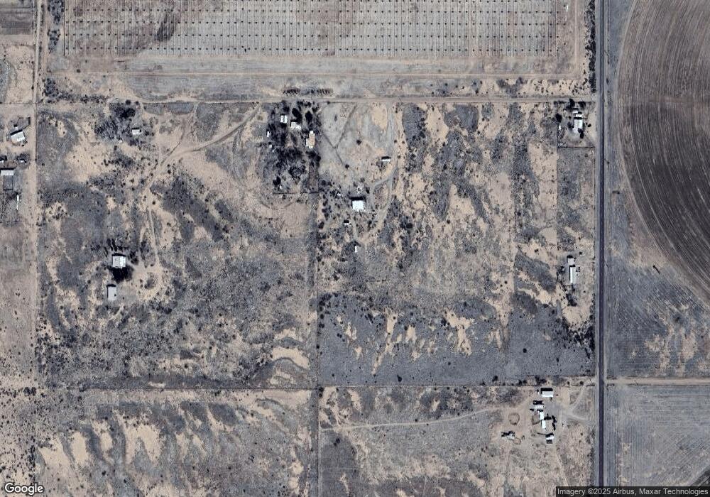
Map
Nearby Homes
- 4274 W Lee Rd
- 000 W Campo Ln
- 8910 N Highway 191 -- Unit 45A
- 49XX W Footloose Trail Unit C
- 4979 W Rogers Trail
- 8987 N Coffman Rd
- 000 W Calle Campo -- Unit H
- 4755 W Morin Rd Unit 241
- 20.44 Acre W Morin Rd Unit B
- 9097 Montie Ave
- 3920 W Elder St
- 9.98 Acres Hwy 191
- 9.98 Acres U S 191
- 70 Acres N Place Unit 10323005
- 71 Acres N Acorn Place Unit 10323002
- 11145069 Tombstone Trail Unit 33
- 7556 N Frontier Rd
- TBD N Ee Ranch Lot 2 of 2 Rd Unit 2 of 2
- XXXX NE Ranch Rd
- TBD N Ee Ranch Lot 2 of 4 Rd Unit 2 of 4
- 4361 W Cox Rd
- 8348 N Central Hwy
- 4385 W Cox Rd
- 0 N Central Hwy Unit 6669257
- 000 N Central Hwy
- 000 N Central Hwy
- TBD N Central Hwy
- TBD N Central Hwy
- Tbd 35 ac N Central Hwy
- Tbd 35 ac N Central Hwy
- 0 N Central Hwy Unit 21036192
- 7791 N Central Hwy Unit 91F
- 0 N Central Hwy
- 00 N Central Hwy Unit 15
- 00 N Central Hwy
- 53.33 acre N Central Hwy
- 6685 N Central Hwy Unit 26
- TBD N Central Hwy
- 6685 N Central Hwy
- 40505002 N Central Hwy Unit 26