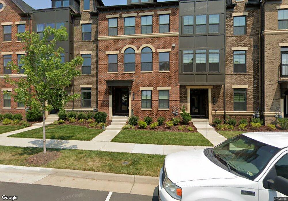
43476 Charitable St Ashburn, VA 20148
Estimated Value: $889,867 - $932,000
4
Beds
3
Baths
3,419
Sq Ft
$267/Sq Ft
Est. Value
About This Home
This home is located at 43476 Charitable St, Ashburn, VA 20148 and is currently estimated at $911,217, approximately $266 per square foot. 43476 Charitable St is a home located in Loudoun County with nearby schools including Moorefield Station Elementary School, Rock Ridge High School, and Stone Hill Middle School.
Ownership History
Date
Name
Owned For
Owner Type
Purchase Details
Closed on
Aug 27, 2019
Sold by
Nvr Inc
Bought by
Cullen William and Cullen Elizabeth
Current Estimated Value
Home Financials for this Owner
Home Financials are based on the most recent Mortgage that was taken out on this home.
Original Mortgage
$505,100
Outstanding Balance
$443,332
Interest Rate
3.7%
Mortgage Type
New Conventional
Estimated Equity
$467,885
Purchase Details
Closed on
Mar 21, 2019
Sold by
Atacpco Moorefield Residential Llc
Bought by
Nvr Inc
Create a Home Valuation Report for This Property
The Home Valuation Report is an in-depth analysis detailing your home's value as well as a comparison with similar homes in the area
Home Values in the Area
Average Home Value in this Area
Purchase History
| Date | Buyer | Sale Price | Title Company |
|---|---|---|---|
| Cullen William | $690,100 | Stewart Title Guaranty Co | |
| Nvr Inc | $1,986,727 | Nvr Settlement Services Inc |
Source: Public Records
Mortgage History
| Date | Status | Borrower | Loan Amount |
|---|---|---|---|
| Open | Cullen William | $505,100 |
Source: Public Records
Tax History
| Year | Tax Paid | Tax Assessment Tax Assessment Total Assessment is a certain percentage of the fair market value that is determined by local assessors to be the total taxable value of land and additions on the property. | Land | Improvement |
|---|---|---|---|---|
| 2025 | $8,527 | $848,480 | $255,000 | $593,480 |
| 2024 | $8,473 | $795,580 | $230,000 | $565,580 |
| 2023 | $6,580 | $751,960 | $230,000 | $521,960 |
| 2022 | $6,788 | $762,660 | $220,000 | $542,660 |
| 2021 | $6,732 | $686,890 | $220,000 | $466,890 |
| 2020 | $6,853 | $662,140 | $220,000 | $442,140 |
| 2019 | $2,299 | $220,000 | $220,000 | $0 |
| 2018 | $2,170 | $200,000 | $200,000 | $0 |
Source: Public Records
Map
Nearby Homes
- 22317 Seabring Terrace
- 22296 Cornerstone Crossing Terrace
- 22379 Roanoke Rise Terrace
- 22381 Roanoke Rise Terrace
- 43405 Charitable St
- 43401 Charitable St
- 43416 Grandmoore St
- 43486 Wilcox Terrace
- 43433 Wilcox Terrace
- 22160 Penelope Heights Terrace
- 22477 Foundation Dr
- 43330 Old Ryan Rd
- 43403 Fifeville Square
- 43377 Southland St
- 43439 Midmoore Dr
- 22528 Wilson View Terrace
- 22171 Springside Terrace Unit 400
- 22171 Springside Terrace Unit 300
- 22559 Hughesville Manor Ct
- 22557 Middleburg Chapel Ct
- 43478 Charitable St
- 43474 Charitable St
- 43480 Charitable St
- 43472 Charitable St
- 43470 Charitable St
- 22321 Seabring Terrace
- 43468 Charitable St
- 22319 Seabring Terrace
- 22298 Foundation Dr
- 22315 Seabring Terrace
- 22296 Foundation Dr
- 43488 Charitable St
- 43477 Charitable St
- 43479 Charitable St
- 22320 Seabring Terrace
- 43481 Charitable St
- 22294 Foundation Dr
- 22313 Seabring Terrace
- 43490 Charitable St
- 22318 Seabring Terrace
Your Personal Tour Guide
Ask me questions while you tour the home.