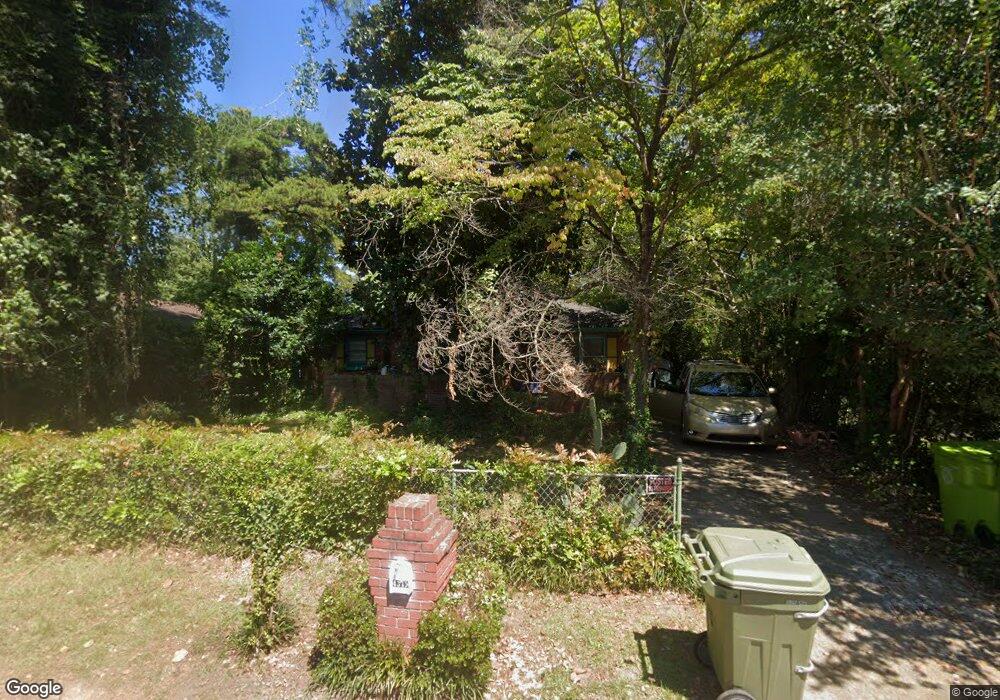
4349 Mellowood Dr Columbia, SC 29209
Southeast Columbia NeighborhoodEstimated Value: $75,749 - $138,000
3
Beds
1
Bath
1,120
Sq Ft
$99/Sq Ft
Est. Value
About This Home
This home is located at 4349 Mellowood Dr, Columbia, SC 29209 and is currently estimated at $111,437, approximately $99 per square foot. 4349 Mellowood Dr is a home located in Richland County with nearby schools including Annie Burnside Elementary School, Crayton Middle School, and A. C. Flora High School.
Ownership History
Date
Name
Owned For
Owner Type
Purchase Details
Closed on
Feb 10, 2006
Sold by
Williams Don J
Bought by
Sossou Akiba
Current Estimated Value
Home Financials for this Owner
Home Financials are based on the most recent Mortgage that was taken out on this home.
Original Mortgage
$57,600
Outstanding Balance
$39,700
Interest Rate
10.34%
Mortgage Type
Fannie Mae Freddie Mac
Estimated Equity
$71,737
Purchase Details
Closed on
Oct 13, 1998
Sold by
Whitaker Sundiata
Bought by
Whitaker Eliza Rebecca and Whitaker Sundiata
Create a Home Valuation Report for This Property
The Home Valuation Report is an in-depth analysis detailing your home's value as well as a comparison with similar homes in the area
Home Values in the Area
Average Home Value in this Area
Purchase History
| Date | Buyer | Sale Price | Title Company |
|---|---|---|---|
| Sossou Akiba | $64,000 | None Available | |
| Whitaker Eliza Rebecca | -- | -- |
Source: Public Records
Mortgage History
| Date | Status | Borrower | Loan Amount |
|---|---|---|---|
| Open | Sossou Akiba | $57,600 |
Source: Public Records
Tax History
| Year | Tax Paid | Tax Assessment Tax Assessment Total Assessment is a certain percentage of the fair market value that is determined by local assessors to be the total taxable value of land and additions on the property. | Land | Improvement |
|---|---|---|---|---|
| 2024 | -- | $33,900 | $0 | $0 |
| 2023 | $1,243 | $1,176 | $0 | $0 |
| 2022 | $1,135 | $29,400 | $4,400 | $25,000 |
| 2021 | $1,114 | $1,760 | $0 | $0 |
| 2020 | $1,118 | $1,760 | $0 | $0 |
| 2019 | $1,085 | $1,760 | $0 | $0 |
| 2018 | $955 | $1,540 | $0 | $0 |
| 2017 | $934 | $1,540 | $0 | $0 |
| 2016 | $921 | $1,540 | $0 | $0 |
| 2015 | $911 | $1,540 | $0 | $0 |
| 2014 | $897 | $25,600 | $0 | $0 |
| 2013 | -- | $1,540 | $0 | $0 |
Source: Public Records
Map
Nearby Homes
- 2608 Windy Dr
- 4345 Camino Ct
- 4608 Sheraton Rd
- 4517 Bluff Rd
- 4032 Tavineer Dr
- 2701 Harlem St
- 2109 Harlem St
- 2729 Harlem St
- 1601 Pineview Dr
- 2011 Smith St
- 1704 Smith St
- 1606 Blaine St
- 5552 Bluff Rd
- 6965 Shelley Rd
- 1191 Rockwood Rd
- 1273 Rockwood Rd
- 1152 Rockwood Rd
- 164 Springway Dr
- 5311 Bluff Rd
- 1006 Coatesdale Rd
- 4353 Mellowood Dr
- 4345 Mellowood Dr
- 4348 La Clair Dr
- 4352 La Clair Dr
- 4341 Mellowood Dr
- 4344 La Clair Dr
- 4356 La Clair Dr
- 4348 Mellowood Dr
- 4337 Mellowood Dr
- 4352 Mellowood Dr
- 4357 Mellowood Dr
- 4344 Mellowood Dr
- 4340 Mellowood Dr
- 4356 Mellowood Dr
- 4360 La Clair Dr
- 4336 La Clair Dr
- 4333 Mellowood Dr
- 4336 Mellowood Dr
- 4360 Mellowood Dr
- 4349 La Clair Dr
Your Personal Tour Guide
Ask me questions while you tour the home.