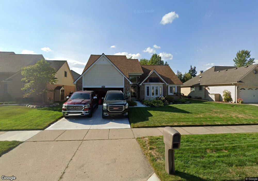
43497 Hillsboro Dr Clinton Township, MI 48038
Estimated Value: $465,293 - $503,000
4
Beds
4
Baths
2,762
Sq Ft
$175/Sq Ft
Est. Value
About This Home
This home is located at 43497 Hillsboro Dr, Clinton Township, MI 48038 and is currently estimated at $482,073, approximately $174 per square foot. 43497 Hillsboro Dr is a home located in Macomb County with nearby schools including Cherokee Elementary School, Wyandot Middle School, and Chippewa Valley High School.
Ownership History
Date
Name
Owned For
Owner Type
Purchase Details
Closed on
Sep 9, 2011
Sold by
Barbieri Keith and Barbieri Kendall
Bought by
Townsel Richard and Townsel Angela
Current Estimated Value
Purchase Details
Closed on
Sep 2, 2004
Sold by
Swanborg Robert H
Bought by
Barbieri Keith and Barbieri Kendall
Home Financials for this Owner
Home Financials are based on the most recent Mortgage that was taken out on this home.
Original Mortgage
$212,000
Interest Rate
6.08%
Mortgage Type
Purchase Money Mortgage
Create a Home Valuation Report for This Property
The Home Valuation Report is an in-depth analysis detailing your home's value as well as a comparison with similar homes in the area
Home Values in the Area
Average Home Value in this Area
Purchase History
| Date | Buyer | Sale Price | Title Company |
|---|---|---|---|
| Townsel Richard | $195,000 | Capital Title Insurance Agen | |
| Barbieri Keith | $265,000 | -- | |
| Swanborg Robert H | -- | -- |
Source: Public Records
Mortgage History
| Date | Status | Borrower | Loan Amount |
|---|---|---|---|
| Previous Owner | Barbieri Keith | $212,000 |
Source: Public Records
Tax History Compared to Growth
Tax History
| Year | Tax Paid | Tax Assessment Tax Assessment Total Assessment is a certain percentage of the fair market value that is determined by local assessors to be the total taxable value of land and additions on the property. | Land | Improvement |
|---|---|---|---|---|
| 2025 | $7,498 | $241,900 | $0 | $0 |
| 2024 | $4,562 | $227,800 | $0 | $0 |
| 2023 | $4,020 | $199,700 | $0 | $0 |
| 2022 | $6,113 | $179,700 | $0 | $0 |
| 2021 | $6,043 | $169,300 | $0 | $0 |
| 2020 | $3,614 | $167,500 | $0 | $0 |
| 2019 | $5,841 | $162,300 | $0 | $0 |
| 2018 | $5,403 | $151,900 | $0 | $0 |
| 2017 | $5,448 | $145,700 | $25,500 | $120,200 |
| 2016 | $5,472 | $145,700 | $0 | $0 |
| 2015 | -- | $141,800 | $0 | $0 |
| 2014 | -- | $133,600 | $0 | $0 |
| 2011 | -- | $108,500 | $20,700 | $87,800 |
Source: Public Records
Map
Nearby Homes
- 43673 Welland Dr
- 43373 Brooks Dr
- 19118 Killeen Dr
- 43274 Hillsboro Dr
- 43363 Herring Dr
- 43852 Columbia Dr
- 43377 Rivergate Dr
- 44192 Rivergate Dr
- 44340 Thunder Bay Dr
- 44130 Cadburry Dr
- 20465 Saint Laurence Dr
- 0 Clinton River Rd Unit 20251013874
- 20561 Longwood Dr Unit 64
- 42680 Chippewa Dr Unit 28
- 19790 Westchester Dr Unit 11
- 20194 Calumet Dr
- 20387 Villa Grande Cir Unit 19
- 44808 Rivergate Dr
- 20445 Villa Grande Cir Unit 48
- 20654 Dunham Rd Unit 24
- 43517 Hillsboro Dr
- 43477 Hillsboro Dr
- 43494 Columbia Dr
- 43537 Hillsboro Dr
- 43554 Welland Dr
- 43514 Columbia Dr
- 43532 Welland Dr
- 43557 Hillsboro Dr
- 43496 Hillsboro Dr
- 43516 Hillsboro Dr
- 43572 Welland Dr
- 43439 Columbia Dr
- 43456 Hillsboro Dr
- 43536 Hillsboro Dr
- 43532 Columbia Dr
- 43503 Columbia Dr
- 43516 Welland Dr
- 43577 Hillsboro Dr
- 43434 Hillsboro Dr
- 43596 Welland Dr