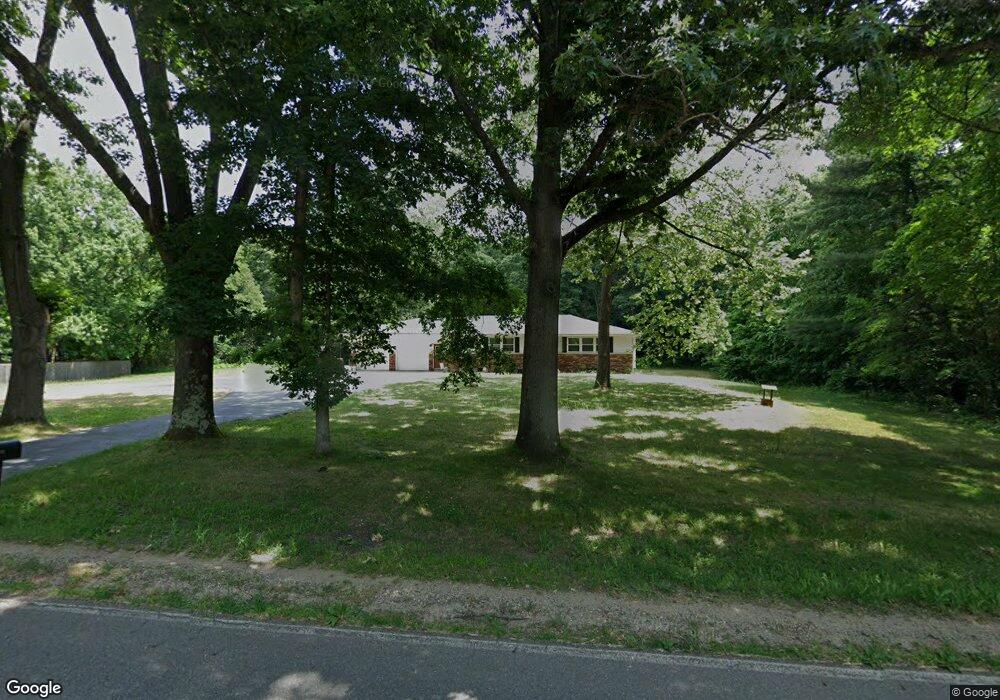
435 18th St Otsego, MI 49078
Estimated Value: $319,685 - $359,000
4
Beds
3
Baths
2,540
Sq Ft
$131/Sq Ft
Est. Value
About This Home
This home is located at 435 18th St, Otsego, MI 49078 and is currently estimated at $331,921, approximately $130 per square foot. 435 18th St is a home located in Allegan County with nearby schools including Otsego High School, St. Margaret School, and Otsego Christian Academy.
Ownership History
Date
Name
Owned For
Owner Type
Purchase Details
Closed on
Aug 17, 2007
Sold by
Livi Meyer Lillian J and Livi Lillian J Meyer Revocable
Bought by
Weaver Anthony
Current Estimated Value
Home Financials for this Owner
Home Financials are based on the most recent Mortgage that was taken out on this home.
Original Mortgage
$152,793
Outstanding Balance
$96,491
Interest Rate
6.79%
Mortgage Type
FHA
Estimated Equity
$235,430
Purchase Details
Closed on
Apr 1, 1993
Sold by
Meyer Lillian J
Bought by
"Otte
Create a Home Valuation Report for This Property
The Home Valuation Report is an in-depth analysis detailing your home's value as well as a comparison with similar homes in the area
Home Values in the Area
Average Home Value in this Area
Purchase History
| Date | Buyer | Sale Price | Title Company |
|---|---|---|---|
| Weaver Anthony | $154,000 | None Available | |
| Livi Meyer Lillian J | -- | None Available | |
| "Otte | -- | -- | |
| "Otte | -- | -- |
Source: Public Records
Mortgage History
| Date | Status | Borrower | Loan Amount |
|---|---|---|---|
| Open | Livi Meyer Lillian J | $152,793 |
Source: Public Records
Tax History
| Year | Tax Paid | Tax Assessment Tax Assessment Total Assessment is a certain percentage of the fair market value that is determined by local assessors to be the total taxable value of land and additions on the property. | Land | Improvement |
|---|---|---|---|---|
| 2025 | $3,234 | $142,800 | $12,700 | $130,100 |
| 2024 | $2,618 | $125,700 | $12,500 | $113,200 |
| 2023 | $2,665 | $107,200 | $11,600 | $95,600 |
| 2022 | $2,618 | $98,100 | $11,600 | $86,500 |
| 2021 | $2,476 | $91,400 | $10,900 | $80,500 |
| 2020 | $2,442 | $81,200 | $9,600 | $71,600 |
| 2019 | $2,364 | $76,600 | $7,900 | $68,700 |
| 2018 | $2,330 | $91,100 | $7,900 | $83,200 |
| 2017 | $0 | $90,400 | $10,900 | $79,500 |
| 2016 | $0 | $83,300 | $8,500 | $74,800 |
| 2015 | -- | $83,300 | $8,500 | $74,800 |
| 2014 | $2,379 | $71,800 | $6,800 | $65,000 |
| 2013 | $2,379 | $73,200 | $7,300 | $65,900 |
Source: Public Records
Map
Nearby Homes
- 0 Briarwood St Unit 25002251
- 602 Lincoln Rd
- 1868 Jefferson Rd
- 528 Lincoln Rd
- 361 W Allegan St
- 303 W Franklin St
- 1655 Aspen Trail
- 218 S North St
- 1660 Aspen Trail
- 1639 Aspen Trail
- 1648 Aspen Trail
- 508 S Farmer St
- 1644 Aspen Trail
- 1636 Aspen Trail
- 805 Irving St
- Integrity 1880 Plan at Southpointe Trails
- Integrity 1910 Plan at Southpointe Trails
- Integrity 1250 Plan at Southpointe Trails
- Integrity 1750 Plan at Southpointe Trails
- Integrity 2000 Plan at Southpointe Trails
Your Personal Tour Guide
Ask me questions while you tour the home.