Estimated Value: $439,000 - $598,780
--
Bed
--
Bath
1,176
Sq Ft
$454/Sq Ft
Est. Value
About This Home
This home is located at 435 Anderson Ln, Twisp, WA 98856 and is currently estimated at $533,945, approximately $454 per square foot. 435 Anderson Ln is a home with nearby schools including Methow Valley Elementary School, Liberty Bell Junior/Senior High School, and Methow Valley Independent Learning Center.
Ownership History
Date
Name
Owned For
Owner Type
Purchase Details
Closed on
Dec 12, 2008
Sold by
Larson Terry L
Bought by
Larson Melissa M
Current Estimated Value
Purchase Details
Closed on
Jun 14, 2005
Sold by
Michelsen Phyllis M
Bought by
Larson Terry and Larson Melissa
Home Financials for this Owner
Home Financials are based on the most recent Mortgage that was taken out on this home.
Original Mortgage
$188,000
Interest Rate
5.72%
Mortgage Type
Purchase Money Mortgage
Create a Home Valuation Report for This Property
The Home Valuation Report is an in-depth analysis detailing your home's value as well as a comparison with similar homes in the area
Home Values in the Area
Average Home Value in this Area
Purchase History
| Date | Buyer | Sale Price | Title Company |
|---|---|---|---|
| Larson Melissa M | -- | None Available | |
| Larson Terry | $284,673 | Transnation Title |
Source: Public Records
Mortgage History
| Date | Status | Borrower | Loan Amount |
|---|---|---|---|
| Closed | Larson Terry | $188,000 |
Source: Public Records
Tax History Compared to Growth
Tax History
| Year | Tax Paid | Tax Assessment Tax Assessment Total Assessment is a certain percentage of the fair market value that is determined by local assessors to be the total taxable value of land and additions on the property. | Land | Improvement |
|---|---|---|---|---|
| 2025 | $993 | $518,800 | $161,400 | $357,400 |
| 2024 | $993 | $518,800 | $161,400 | $357,400 |
| 2022 | $1,282 | $338,400 | $156,400 | $182,000 |
| 2021 | $1,108 | $338,400 | $156,400 | $182,000 |
| 2020 | $1,103 | $338,400 | $156,400 | $182,000 |
| 2019 | $1,070 | $296,400 | $156,400 | $140,000 |
| 2018 | $1,114 | $296,400 | $156,400 | $140,000 |
| 2017 | $1,081 | $296,400 | $156,400 | $140,000 |
| 2016 | $1,027 | $296,100 | $156,400 | $139,700 |
| 2015 | $1,020 | $296,100 | $156,400 | $139,700 |
| 2013 | -- | $296,100 | $156,400 | $139,700 |
Source: Public Records
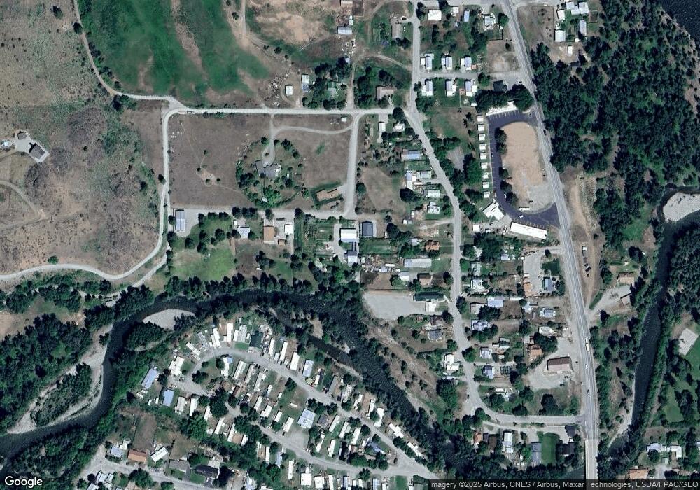
Map
Nearby Homes
- 140 Twisp Ave W Unit 204
- 115 Johnson St N Unit 1,2,3
- 136 Johnson St
- 0 Isabella Ln Unit NWM2400755
- 0 Isabella Ln Unit NWM2400767
- 799 Twisp River Rd
- 303 E 2nd Ave
- 318 Lombard St
- 803 D Twisp Carlton Rd
- 0 Lot 2 Amended Surface Short Plat
- 1110 Riverside Ave
- 1221 Riverside Ave
- 96 Alder Creek Rd
- 803 C Twisp Carlton
- 2992 Washington 153
- 143 Harrier Hill Rd
- 48 Thurlow Rd
- 121 Finley Canyon Rd
- 13 Serviceberry Rd
- 639 Twisp River Rd