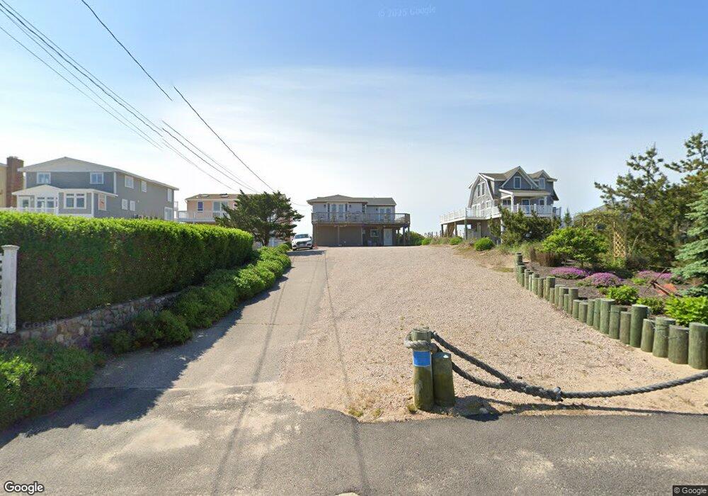
435 Atlantic Ave Westerly, RI 02891
Estimated Value: $394,000 - $2,032,438
3
Beds
2
Baths
966
Sq Ft
$1,527/Sq Ft
Est. Value
About This Home
This home is located at 435 Atlantic Ave, Westerly, RI 02891 and is currently estimated at $1,474,813, approximately $1,526 per square foot. 435 Atlantic Ave is a home located in Washington County with nearby schools including Westerly High School.
Ownership History
Date
Name
Owned For
Owner Type
Purchase Details
Closed on
Feb 25, 2015
Sold by
Caron David A and Caron Kimberly H
Bought by
Caron Ft and Caron Kimberly H
Current Estimated Value
Purchase Details
Closed on
Jan 4, 2010
Sold by
Ditlersen Ole Petter and Vermeer Carolyn
Bought by
Carolyn Vermeer Ret
Purchase Details
Closed on
May 1, 2009
Sold by
Caron David A
Bought by
Ditlersen Ole Petter and Vermeer Carolyn
Purchase Details
Closed on
Sep 2, 1997
Sold by
Moores Robert J
Bought by
Caron Kimberly H
Create a Home Valuation Report for This Property
The Home Valuation Report is an in-depth analysis detailing your home's value as well as a comparison with similar homes in the area
Home Values in the Area
Average Home Value in this Area
Purchase History
| Date | Buyer | Sale Price | Title Company |
|---|---|---|---|
| Caron Ft | -- | -- | |
| Carolyn Vermeer Ret | -- | -- | |
| Ditlersen Ole Petter | $1,300,000 | -- | |
| Caron Kimberly H | $335,000 | -- |
Source: Public Records
Mortgage History
| Date | Status | Borrower | Loan Amount |
|---|---|---|---|
| Previous Owner | Caron Kimberly H | $1,000,000 | |
| Previous Owner | Caron Kimberly H | $906,000 | |
| Previous Owner | Caron Kimberly H | $650,000 |
Source: Public Records
Tax History
| Year | Tax Paid | Tax Assessment Tax Assessment Total Assessment is a certain percentage of the fair market value that is determined by local assessors to be the total taxable value of land and additions on the property. | Land | Improvement |
|---|---|---|---|---|
| 2025 | $18,022 | $2,534,800 | $2,282,500 | $252,300 |
| 2024 | $17,861 | $1,820,700 | $1,630,800 | $189,900 |
| 2023 | $17,515 | $1,820,700 | $1,630,800 | $189,900 |
| 2022 | $17,325 | $1,812,200 | $1,630,800 | $181,400 |
| 2021 | $16,349 | $1,419,200 | $1,283,900 | $135,300 |
| 2020 | $16,051 | $1,419,200 | $1,283,900 | $135,300 |
| 2019 | $15,895 | $1,419,200 | $1,283,900 | $135,300 |
| 2018 | $15,528 | $1,307,100 | $1,182,500 | $124,600 |
| 2017 | $15,149 | $1,307,100 | $1,182,500 | $124,600 |
| 2016 | $15,267 | $1,307,100 | $1,182,500 | $124,600 |
| 2015 | $14,260 | $1,317,900 | $1,206,800 | $111,100 |
| 2014 | $14,015 | $1,317,200 | $1,206,800 | $110,400 |
Source: Public Records
Map
Nearby Homes
- 432 Atlantic Ave
- 446 Atlantic Ave
- 470 Atlantic Ave
- 20 Snowberry Ln
- 22 Breach Dr
- 15 Breach Dr
- 26 Charlene Ave
- 30 Clifford Dr
- 9 Compass Way Unit 201
- 9 Compass Way Unit 202
- 9 Compass Way Unit 101
- 9 Compass Way Unit 102
- 9 Compass Way Unit 103
- 9 Compass Way Unit 203
- 54 Sherwood Dr
- 27 Benson Ave
- 43 Noyes Neck Rd
- 10 Tristam St
- 109 Watch Hill Rd
- 5 Robin Hollow Ln
- 437 Atlantic Ave
- 433 Atlantic Ave
- 441 Atlantic Ave
- 429 Atlantic Ave
- 443 Atlantic Ave
- 427 Atlantic Ave
- 445 Atlantic Ave
- 425 Atlantic Ave
- 434 Atlantic Ave
- 444 Atlantic Ave
- 447 Atlantic Ave
- 438 Atlantic Ave
- 436 Atlantic Ave
- 423 Atlantic Ave
- 449 Atlantic Ave
- 430 Atlantic Ave
- 424 Atlantic Ave
- 421 Atlantic Ave
- 426 Atlantic Ave
- 428 Atlantic Ave
Your Personal Tour Guide
Ask me questions while you tour the home.