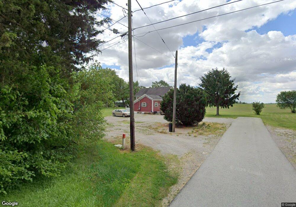
435 Beaver St Mc Clure, OH 43534
Estimated Value: $132,263 - $159,000
5
Beds
1
Bath
1,640
Sq Ft
$89/Sq Ft
Est. Value
About This Home
This home is located at 435 Beaver St, Mc Clure, OH 43534 and is currently estimated at $145,316, approximately $88 per square foot. 435 Beaver St is a home located in Henry County with nearby schools including Napoleon Elementary School and Napoleon Junior/Senior High School.
Ownership History
Date
Name
Owned For
Owner Type
Purchase Details
Closed on
Aug 28, 2007
Sold by
Sfjv 2005 Llc
Bought by
Donley Barbara
Current Estimated Value
Home Financials for this Owner
Home Financials are based on the most recent Mortgage that was taken out on this home.
Original Mortgage
$45,000
Outstanding Balance
$28,578
Interest Rate
6.63%
Mortgage Type
Unknown
Estimated Equity
$116,738
Purchase Details
Closed on
Dec 20, 2006
Sold by
Loveless Denise M
Bought by
Sfjv 2005 Llc
Purchase Details
Closed on
Apr 5, 2001
Sold by
Getzinger Nichola E
Bought by
Loveless Denise M
Home Financials for this Owner
Home Financials are based on the most recent Mortgage that was taken out on this home.
Original Mortgage
$70,443
Interest Rate
7.13%
Mortgage Type
FHA
Create a Home Valuation Report for This Property
The Home Valuation Report is an in-depth analysis detailing your home's value as well as a comparison with similar homes in the area
Home Values in the Area
Average Home Value in this Area
Purchase History
| Date | Buyer | Sale Price | Title Company |
|---|---|---|---|
| Donley Barbara | $45,000 | Attorney | |
| Sfjv 2005 Llc | $61,200 | None Available | |
| Loveless Denise M | $71,200 | -- |
Source: Public Records
Mortgage History
| Date | Status | Borrower | Loan Amount |
|---|---|---|---|
| Open | Donley Barbara | $45,000 | |
| Previous Owner | Loveless Denise M | $70,443 |
Source: Public Records
Tax History Compared to Growth
Tax History
| Year | Tax Paid | Tax Assessment Tax Assessment Total Assessment is a certain percentage of the fair market value that is determined by local assessors to be the total taxable value of land and additions on the property. | Land | Improvement |
|---|---|---|---|---|
| 2024 | $1,507 | $32,280 | $6,390 | $25,890 |
| 2023 | $1,507 | $32,280 | $6,390 | $25,890 |
| 2022 | $730 | $44,600 | $8,780 | $35,820 |
| 2021 | $1,202 | $22,300 | $4,390 | $17,910 |
| 2020 | $1,220 | $22,300 | $4,390 | $17,910 |
| 2019 | $1,089 | $19,340 | $4,140 | $15,200 |
| 2018 | $1,095 | $19,340 | $4,140 | $15,200 |
| 2017 | $2,825 | $19,340 | $4,140 | $15,200 |
| 2016 | $887 | $16,120 | $4,140 | $11,980 |
| 2015 | $874 | $16,120 | $4,140 | $11,980 |
| 2014 | $973 | $16,120 | $4,140 | $11,980 |
| 2013 | $973 | $17,850 | $4,140 | $13,710 |
Source: Public Records
Map
Nearby Homes
- 440 Vine St
- 325 E North St
- 335 E North St
- 7242 Township Road 117
- S261 County Road 4
- 24525 Village Ln Unit 24525
- 24432 W 3rd St
- 3374 County Road J
- 23912 E 2nd St
- 23763 Front St
- 9173 County Road P3
- 17645 Sycamore Rd
- 208 N Henry St
- 104 S Turkey Foot Ave
- 22327 U S 6
- 14060 Harrison Rd
- 22888 Wintergreen Rd
- 0 Manore Lot A Rd Unit 6130402
- 0 Manore Lot B Rd Unit 6130403
- 600 North St