Estimated Value: $652,000 - $697,078
3
Beds
3
Baths
2,162
Sq Ft
$313/Sq Ft
Est. Value
About This Home
This home is located at 435 Branding Iron Rd, Reno, NV 89508 and is currently estimated at $675,693, approximately $312 per square foot. 435 Branding Iron Rd is a home located in Washoe County with nearby schools including Desert Heights Elementary School, Cold Springs Middle Schools, and North Valleys High School.
Ownership History
Date
Name
Owned For
Owner Type
Purchase Details
Closed on
Mar 31, 2005
Sold by
Jensen Chris
Bought by
Reshke Thomas A
Current Estimated Value
Home Financials for this Owner
Home Financials are based on the most recent Mortgage that was taken out on this home.
Original Mortgage
$89,100
Interest Rate
4.87%
Mortgage Type
Balloon
Purchase Details
Closed on
Dec 13, 2004
Sold by
Larochelle Darlene and Jensen Darlene
Bought by
Jensen Chris
Create a Home Valuation Report for This Property
The Home Valuation Report is an in-depth analysis detailing your home's value as well as a comparison with similar homes in the area
Home Values in the Area
Average Home Value in this Area
Purchase History
| Date | Buyer | Sale Price | Title Company |
|---|---|---|---|
| Reshke Thomas A | $99,000 | Ticor Title Of Nevada Inc | |
| Jensen Chris | -- | -- |
Source: Public Records
Mortgage History
| Date | Status | Borrower | Loan Amount |
|---|---|---|---|
| Closed | Reshke Thomas A | $89,100 |
Source: Public Records
Tax History Compared to Growth
Tax History
| Year | Tax Paid | Tax Assessment Tax Assessment Total Assessment is a certain percentage of the fair market value that is determined by local assessors to be the total taxable value of land and additions on the property. | Land | Improvement |
|---|---|---|---|---|
| 2025 | $1,914 | $122,014 | $21,700 | $100,314 |
| 2024 | $1,914 | $120,976 | $19,950 | $101,026 |
| 2023 | $1,858 | $110,680 | $15,050 | $95,630 |
| 2022 | $1,808 | $91,658 | $12,250 | $79,408 |
| 2021 | $1,757 | $91,070 | $12,250 | $78,820 |
| 2020 | $1,705 | $90,939 | $12,250 | $78,689 |
| 2019 | $1,655 | $88,536 | $12,250 | $76,286 |
| 2018 | $1,608 | $86,873 | $12,250 | $74,623 |
| 2017 | $1,560 | $86,867 | $12,250 | $74,617 |
| 2016 | $1,520 | $86,351 | $10,500 | $75,851 |
| 2015 | $1,518 | $86,217 | $10,500 | $75,717 |
| 2014 | $1,473 | $70,823 | $5,250 | $65,573 |
| 2013 | -- | $55,398 | $5,250 | $50,148 |
Source: Public Records
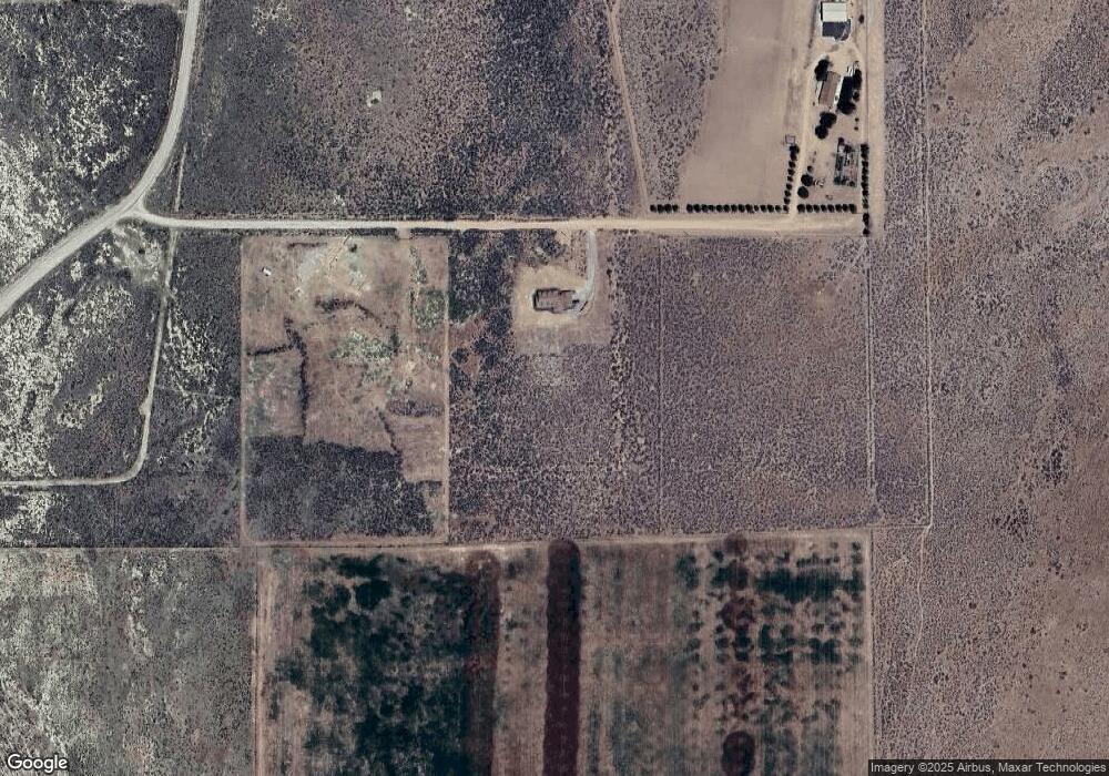
Map
Nearby Homes
- 405 Branding Iron Rd
- 450 Marshal Rd
- 115 Buckboard Cir
- 195 Muletail Cir
- 0 Chokecherry Unit 250005662
- 40 Cowhide Cir
- 45 Arabian Way
- 15955 N Red Rock Rd
- 15205 N Red Rock Rd
- 15710 Rancho Dr
- 16100 N Red Rock Rd
- 110 Arabian Way
- 105 Arabian Way
- 160 Shetland Cir
- 14590 Rancho Dr
- 14485 N Red Rock Rd
- 22905 Fetlock Dr
- 16555 N Red Rock Rd
- 14295 N Red Rock Rd
- 14265 N Red Rock Rd
- 415 Branding Iron Rd
- 450 Branding Iron Rd
- 16135 Dry Valley Rd
- 455 Bit Ct
- 16105 Dry Valley Rd
- 16065 Wrangler Rd
- 415 Bit Ct
- 16175 Dry Valley Rd
- 16175 Dry Valley Rd Unit 46
- 430 Bit Ct
- 450 Bit Ct
- 16225 Dry Valley Rd
- 85 Buckboard Cir
- 00 Rattlesnake
- 0 Rattlesnake Unit 140013478
- 95 Buckboard Cir
- 105 Buckboard Cir
- 115 Buckboard Cr W
- 15850 Panhandle Rd
- 170 Muletail Cir