Estimated Value: $407,875 - $463,000
3
Beds
3
Baths
2,277
Sq Ft
$192/Sq Ft
Est. Value
About This Home
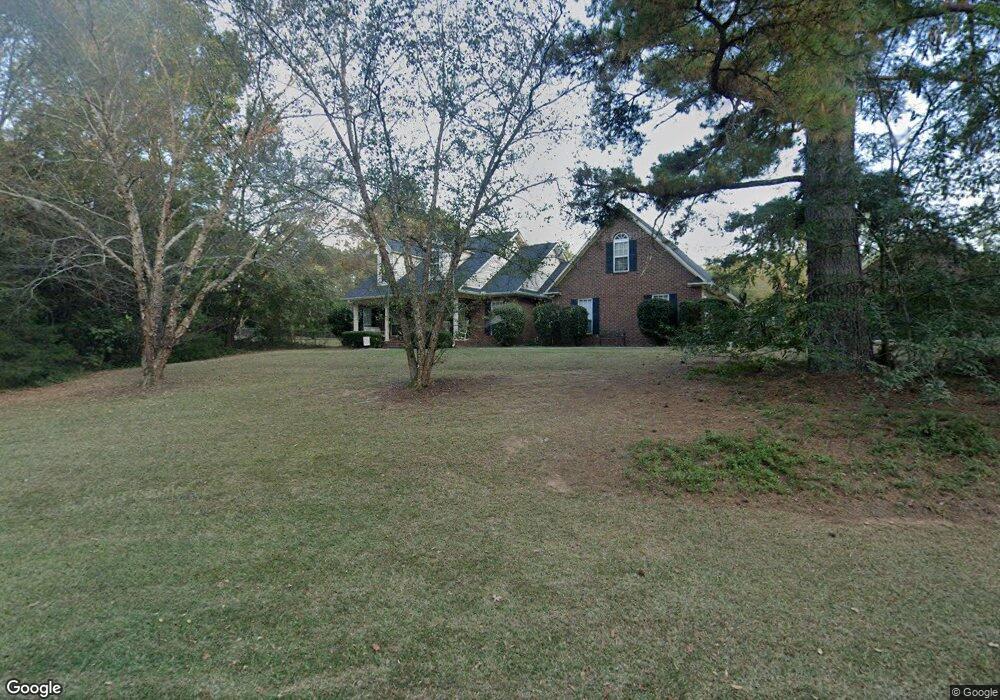
This home is located at 435 Brandywine Dr, Evans, GA 30809 and is currently estimated at $438,219, approximately $192 per square foot. 435 Brandywine Dr is a home located in Columbia County with nearby schools including Lewiston Elementary School, Evans Middle School, and Evans High School.
Ownership History
Date
Name
Owned For
Owner Type
Purchase Details
Closed on
Jul 18, 2005
Sold by
National Equity Inc
Bought by
King Dianne C
Current Estimated Value
Home Financials for this Owner
Home Financials are based on the most recent Mortgage that was taken out on this home.
Original Mortgage
$223,920
Outstanding Balance
$116,360
Interest Rate
5.59%
Mortgage Type
New Conventional
Estimated Equity
$321,859
Create a Home Valuation Report for This Property
The Home Valuation Report is an in-depth analysis detailing your home's value as well as a comparison with similar homes in the area
Home Values in the Area
Average Home Value in this Area
Purchase History
| Date | Buyer | Sale Price | Title Company |
|---|---|---|---|
| King Dianne C | $279,900 | -- | |
| National Equity Inc | $279,900 | -- |
Source: Public Records
Mortgage History
| Date | Status | Borrower | Loan Amount |
|---|---|---|---|
| Open | National Equity Inc | $223,920 | |
| Closed | King Dianne C | $223,920 |
Source: Public Records
Tax History
| Year | Tax Paid | Tax Assessment Tax Assessment Total Assessment is a certain percentage of the fair market value that is determined by local assessors to be the total taxable value of land and additions on the property. | Land | Improvement |
|---|---|---|---|---|
| 2025 | $3,720 | $155,516 | $34,643 | $120,873 |
| 2024 | $3,714 | $148,271 | $34,643 | $113,628 |
| 2023 | $3,714 | $132,795 | $21,480 | $111,315 |
| 2022 | $3,317 | $127,364 | $21,480 | $105,884 |
| 2021 | $3,134 | $115,066 | $21,068 | $93,998 |
| 2020 | $3,113 | $111,981 | $20,657 | $91,324 |
| 2019 | $3,053 | $109,799 | $20,657 | $89,142 |
| 2018 | $3,010 | $107,890 | $20,657 | $87,233 |
| 2017 | $2,973 | $106,172 | $20,657 | $85,515 |
| 2016 | $2,907 | $107,686 | $19,618 | $88,068 |
| 2015 | $2,870 | $106,125 | $19,618 | $86,507 |
| 2014 | $2,878 | $105,094 | $19,618 | $85,476 |
Source: Public Records
Map
Nearby Homes
- 2229 Millshaven Trail
- 2211 Millshaven Trail
- 703 Harrison Dr
- 805 Leslie Ct
- 456 Weyanoke Dr
- 484 Dickson Dr
- 5130 Hereford Farm Rd
- 413 Calloway Road Extension
- 815 Whitney Shoals Rd
- 1016 Highgrass Ct
- 1301 Woody Hill Ct
- 102 Highgrass Trail
- 2430 Sunflower Dr
- 4035 Payten Place
- 204 Asa Way
- 721 Wickham Dr
- 2422 Sunflower Dr
- 7007 Wrenfield Way
- 765 Whitney Shoals Rd
- 263 Asa Way
- 439 Brandywine Dr
- 5024 Wells Dr Unit 2
- 5024 Wells Dr
- 5051 Wells Dr
- 445 Brandywine Dr
- 430 Brandywine Dr
- 5030 Wells Dr Unit 1
- 424 Brandywine Dr
- 440 Brandywine Dr
- 5041 Wells Dr
- 439 Randolph Dr
- 401 Weyanoke Dr
- 446 Brandywine Dr
- 468 Brandywine Dr
- 403 Weyanoke Dr
- 405 Weyanoke Dr
- 467 Brandywine Dr
- 419 Brandywine Dr
- 5060 Wells Dr
- 407 Weyanoke Dr
Your Personal Tour Guide
Ask me questions while you tour the home.