435 Brixham Rd Eliot, ME 03903
East Eliot NeighborhoodEstimated Value: $780,853 - $899,000
3
Beds
2
Baths
2,382
Sq Ft
$353/Sq Ft
Est. Value
About This Home
This home is located at 435 Brixham Rd, Eliot, ME 03903 and is currently estimated at $841,463, approximately $353 per square foot. 435 Brixham Rd is a home located in York County with nearby schools including Marshwood High School and Seacoast Waldorf School.
Ownership History
Date
Name
Owned For
Owner Type
Purchase Details
Closed on
Oct 19, 2016
Sold by
Horton Kristen
Bought by
Webber Andrew S and Webber Andrea L
Current Estimated Value
Home Financials for this Owner
Home Financials are based on the most recent Mortgage that was taken out on this home.
Original Mortgage
$411,000
Outstanding Balance
$329,284
Interest Rate
3.44%
Mortgage Type
New Conventional
Estimated Equity
$512,179
Purchase Details
Closed on
Aug 10, 2016
Sold by
Horton Samuel K
Bought by
Horton Kristen
Create a Home Valuation Report for This Property
The Home Valuation Report is an in-depth analysis detailing your home's value as well as a comparison with similar homes in the area
Home Values in the Area
Average Home Value in this Area
Purchase History
| Date | Buyer | Sale Price | Title Company |
|---|---|---|---|
| Webber Andrew S | -- | -- | |
| Horton Kristen | -- | -- |
Source: Public Records
Mortgage History
| Date | Status | Borrower | Loan Amount |
|---|---|---|---|
| Open | Webber Andrew S | $411,000 |
Source: Public Records
Tax History
| Year | Tax Paid | Tax Assessment Tax Assessment Total Assessment is a certain percentage of the fair market value that is determined by local assessors to be the total taxable value of land and additions on the property. | Land | Improvement |
|---|---|---|---|---|
| 2024 | $7,195 | $607,200 | $161,400 | $445,800 |
| 2023 | $7,100 | $579,600 | $154,000 | $425,600 |
| 2022 | $6,761 | $558,800 | $154,000 | $404,800 |
| 2021 | $5,195 | $408,600 | $119,400 | $289,200 |
| 2020 | $5,479 | $372,700 | $114,300 | $258,400 |
| 2019 | $1,399 | $372,700 | $114,300 | $258,400 |
| 2018 | $5,479 | $372,700 | $114,300 | $258,400 |
| 2017 | $5,330 | $372,700 | $114,300 | $258,400 |
| 2016 | $5,236 | $372,700 | $114,300 | $258,400 |
| 2015 | $5,218 | $372,700 | $114,300 | $258,400 |
| 2014 | $5,143 | $372,700 | $114,300 | $258,400 |
| 2013 | $4,908 | $372,700 | $114,300 | $258,400 |
Source: Public Records
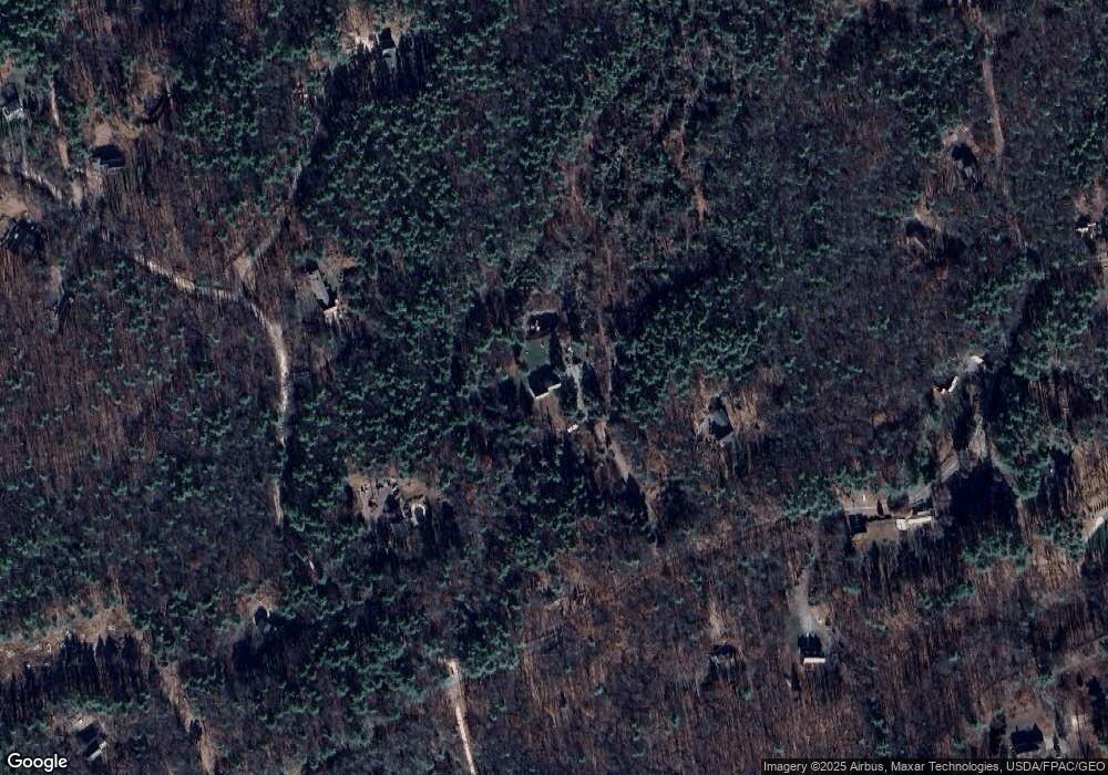
Map
Nearby Homes
- Lot 1 Brixham (Stonecrop Farm Lot 1) Rd
- Lot 4 Stonecrop Farm Ln
- 4 Bhoireann Ln
- 3 Bhoireann Ln
- 0 Lindsay Ln
- 16 Witchtrot Rd
- 25 Heritage Dr
- 10 Pasture Hill Dr
- Lot 2 Cedar Tbd
- 45 Scotland Bridge Rd
- 116 Heron Cove Rd
- 6 Stacy Ln
- 2 Lils Aly
- 1708 State Rd
- 34 Beaver Dam Rd
- 72 Vine St
- 1 Elizabeth Rd Unit 1
- 708 River Rd Unit 2
- 708 River Rd Unit 3
- 6 Isaac Lucas Cir
- 449 Brixham Rd
- 12 Punkintown Rd
- 131 Brixham Rd
- 429 Brixham Rd
- 115 Brixham Rd
- 48 Punkintown Rd
- 482B Brixham Rd
- 138 Brixham Rd
- 99 Brixham Rd
- 43 Brixham Rd
- 446 Brixham Rd
- 19 Punkintown Rd
- 456 Brixham Rd
- 470 Brixham Rd
- 481 Brixham Rd
- 3 Deer Run Ridge
- 53 Brixham Rd
- 17 Deer Run Ridge
- 70 Punkintown Rd
- 108 Punkintown Rd
Your Personal Tour Guide
Ask me questions while you tour the home.