435 Brook Cir Unit 2 Roswell, GA 30075
Estimated Value: $796,000 - $881,000
4
Beds
4
Baths
3,099
Sq Ft
$266/Sq Ft
Est. Value
About This Home
This home is located at 435 Brook Cir Unit 2, Roswell, GA 30075 and is currently estimated at $823,153, approximately $265 per square foot. 435 Brook Cir Unit 2 is a home located in Fulton County with nearby schools including Sweet Apple Elementary School, Elkins Pointe Middle School, and Milton High School.
Ownership History
Date
Name
Owned For
Owner Type
Purchase Details
Closed on
Jul 26, 1999
Sold by
Humphreys Construction Co Inc
Bought by
Cordone Stephen J
Current Estimated Value
Home Financials for this Owner
Home Financials are based on the most recent Mortgage that was taken out on this home.
Original Mortgage
$200,000
Outstanding Balance
$57,518
Interest Rate
7.66%
Mortgage Type
New Conventional
Estimated Equity
$765,635
Create a Home Valuation Report for This Property
The Home Valuation Report is an in-depth analysis detailing your home's value as well as a comparison with similar homes in the area
Home Values in the Area
Average Home Value in this Area
Purchase History
| Date | Buyer | Sale Price | Title Company |
|---|---|---|---|
| Cordone Stephen J | $295,500 | -- |
Source: Public Records
Mortgage History
| Date | Status | Borrower | Loan Amount |
|---|---|---|---|
| Open | Cordone Stephen J | $200,000 |
Source: Public Records
Tax History Compared to Growth
Tax History
| Year | Tax Paid | Tax Assessment Tax Assessment Total Assessment is a certain percentage of the fair market value that is determined by local assessors to be the total taxable value of land and additions on the property. | Land | Improvement |
|---|---|---|---|---|
| 2025 | $992 | $278,880 | $77,240 | $201,640 |
| 2023 | $5,952 | $210,880 | $42,000 | $168,880 |
| 2022 | $4,146 | $210,880 | $42,000 | $168,880 |
| 2021 | $5,118 | $194,760 | $45,000 | $149,760 |
| 2020 | $5,184 | $170,560 | $30,480 | $140,080 |
| 2019 | $819 | $167,560 | $29,960 | $137,600 |
| 2018 | $4,063 | $183,600 | $42,680 | $140,920 |
| 2017 | $4,273 | $158,400 | $30,280 | $128,120 |
| 2016 | $4,254 | $158,400 | $30,280 | $128,120 |
| 2015 | $5,134 | $158,400 | $30,280 | $128,120 |
| 2014 | $4,414 | $158,400 | $30,280 | $128,120 |
Source: Public Records
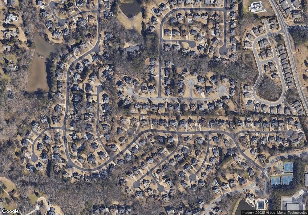
Map
Nearby Homes
- 161 Brook Ln
- 113 Quinn Way
- 127 Quinn Way
- 137 Quinn Way
- 1565 Parkside Dr
- 12655 New Providence Rd
- 12867 Etris Walk
- 580 Stillhouse Ln Unit 2
- 105 Kensington Pond Ct
- 406 Sweet Apple Cir
- 410 Hamilton Park Dr
- 666 Abbey Ct
- 4404 Orchard Trace
- 515 Kent Rd
- 130 Nova Ln
- 12842 Waterside Dr Unit 2
- 640 Mae Ln
- 285 N Farm Dr
- 13125 Morningpark Cir
- 445 Brook Cir
- 425 Brook Cir
- 275 Wilde Green Dr
- 455 Brook Cir Unit 2
- 265 Wilde Green Dr
- 285 Wilde Green Dr
- 415 Brook Cir Unit 2
- 430 Brook Cir
- 420 Brook Cir Unit 2
- 450 Brook Cir
- 255 Wilde Green Dr
- 465 Brook Cir
- 0 Wilde Green Dr Unit 7106397
- 0 Wilde Green Dr Unit 7440928
- 0 Wilde Green Dr Unit 7297094
- 0 Wilde Green Dr Unit 7094894
- 0 Wilde Green Dr Unit 7019529
- 0 Wilde Green Dr Unit 3226077
- 0 Wilde Green Dr Unit 3212705
- 0 Wilde Green Dr Unit 8560646