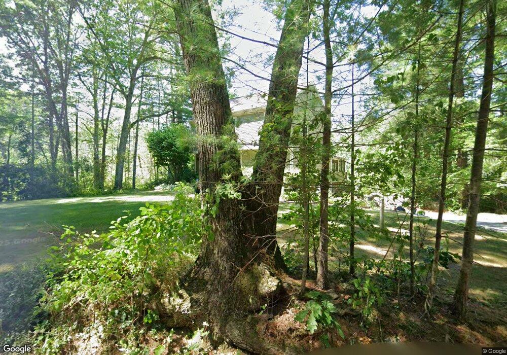
435 Brook St Carlisle, MA 01741
Estimated Value: $1,047,000 - $1,215,000
3
Beds
3
Baths
2,220
Sq Ft
$498/Sq Ft
Est. Value
About This Home
This home is located at 435 Brook St, Carlisle, MA 01741 and is currently estimated at $1,105,307, approximately $497 per square foot. 435 Brook St is a home located in Middlesex County with nearby schools including Carlisle School and Concord Carlisle High School.
Ownership History
Date
Name
Owned For
Owner Type
Purchase Details
Closed on
Apr 27, 2018
Sold by
Fine Richard S and Fine Barbara A
Bought by
Barbara A Fine Lt
Current Estimated Value
Purchase Details
Closed on
Sep 30, 1985
Bought by
Fine Richard S and Fine Barbara A
Create a Home Valuation Report for This Property
The Home Valuation Report is an in-depth analysis detailing your home's value as well as a comparison with similar homes in the area
Home Values in the Area
Average Home Value in this Area
Purchase History
| Date | Buyer | Sale Price | Title Company |
|---|---|---|---|
| Barbara A Fine Lt | -- | -- | |
| Fine Richard S | -- | -- |
Source: Public Records
Mortgage History
| Date | Status | Borrower | Loan Amount |
|---|---|---|---|
| Previous Owner | Fine Richard S | $175,000 | |
| Previous Owner | Fine Richard S | $206,000 | |
| Previous Owner | Fine Richard S | $222,700 | |
| Previous Owner | Fine Richard S | $38,333 |
Source: Public Records
Tax History
| Year | Tax Paid | Tax Assessment Tax Assessment Total Assessment is a certain percentage of the fair market value that is determined by local assessors to be the total taxable value of land and additions on the property. | Land | Improvement |
|---|---|---|---|---|
| 2025 | $13,830 | $1,049,300 | $544,800 | $504,500 |
| 2024 | $12,453 | $934,200 | $501,200 | $433,000 |
| 2023 | $12,213 | $863,100 | $501,100 | $362,000 |
| 2022 | $11,821 | $716,400 | $413,900 | $302,500 |
| 2021 | $11,663 | $716,400 | $413,900 | $302,500 |
| 2020 | $11,615 | $632,600 | $326,800 | $305,800 |
| 2019 | $11,420 | $624,400 | $326,800 | $297,600 |
| 2018 | $10,971 | $603,800 | $326,800 | $277,000 |
| 2017 | $10,576 | $600,200 | $326,800 | $273,400 |
| 2016 | $10,323 | $600,200 | $326,800 | $273,400 |
| 2015 | $10,087 | $530,900 | $313,700 | $217,200 |
| 2014 | $9,896 | $530,900 | $313,700 | $217,200 |
Source: Public Records
Map
Nearby Homes
- 84 Craigie Cir
- 125 Maple St
- 6 Edgehill Rd
- 43 Outlook Rd
- 21 Woodside Rd
- 82 Chestnut Ln
- 9 Kay's Walk
- 1 Kenwood St
- 14 Kay's Walk
- 5 Lowell St Unit 5
- 69 Long Ridge Rd
- 389 River Rd
- 31 Aaron Way
- 27 Fox Run Rd
- 258 Virginia Farme Ln
- 210 Monument Farm Rd
- 15 Blades Cir
- 80 Daniels Ln
- 46 Rosewood Ave
- 516 Cross St
- 446 Brook St
- 428 Brook St
- 413 Brook St
- 425 Brook St
- 511 Brook St
- 35 Peter Hans Rd
- 400 Brook St
- 523 Brook St
- 515 Brook St
- 515 Brook St Unit 1
- 43 Peter Hans Rd
- 381 Brook St
- 372 Brook St
- 19 Craigie Cir
- 56 Peter Hans Rd
- 445 E Riding Dr
- 445 E Riding Dr Unit 73051653
- 45 Craigie Cir
- 559 Brook St
- 357 Brook St
Your Personal Tour Guide
Ask me questions while you tour the home.