435 Cawthon Rd Toccoa, GA 30577
Estimated Value: $153,000 - $180,000
Studio
--
Bath
--
Sq Ft
13,939
Sq Ft
About This Home
This home is located at 435 Cawthon Rd, Toccoa, GA 30577 and is currently estimated at $167,000. 435 Cawthon Rd is a home located in Stephens County with nearby schools including Stephens County High School.
Ownership History
Date
Name
Owned For
Owner Type
Purchase Details
Closed on
Jul 19, 2019
Sold by
Grafton Denise L
Bought by
Denise L Grafton Supplemental Needs Trus and C/O Penland Deb
Current Estimated Value
Purchase Details
Closed on
Jun 27, 2019
Sold by
Barker Richard J
Bought by
Denise L Grafton Supplemental Needs Trus and C/O Penland Deb
Purchase Details
Closed on
Jul 10, 2014
Sold by
Barker Richard J
Bought by
Grafton Denise L and O Richard J Barke C
Purchase Details
Closed on
Oct 1, 1998
Bought by
<Buyer Info Not Present>
Purchase Details
Closed on
Sep 1, 1998
Bought by
<Buyer Info Not Present>
Create a Home Valuation Report for This Property
The Home Valuation Report is an in-depth analysis detailing your home's value as well as a comparison with similar homes in the area
Purchase History
| Date | Buyer | Sale Price | Title Company |
|---|---|---|---|
| Denise L Grafton Supplemental Needs Trus | -- | -- | |
| Denise L Grafton Supplemental Needs Trus | -- | -- | |
| Grafton Denise L | -- | -- | |
| <Buyer Info Not Present> | -- | -- | |
| <Buyer Info Not Present> | -- | -- |
Source: Public Records
Tax History
| Year | Tax Paid | Tax Assessment Tax Assessment Total Assessment is a certain percentage of the fair market value that is determined by local assessors to be the total taxable value of land and additions on the property. | Land | Improvement |
|---|---|---|---|---|
| 2025 | $100 | $3,626 | $1,626 | $2,000 |
| 2024 | $50 | $1,626 | $1,626 | $0 |
| 2023 | $50 | $1,626 | $1,626 | $0 |
| 2022 | $48 | $1,626 | $1,626 | $0 |
| 2021 | $51 | $1,626 | $1,626 | $0 |
| 2020 | $51 | $1,626 | $1,626 | $0 |
| 2019 | $52 | $1,626 | $1,626 | $0 |
| 2018 | $52 | $1,626 | $1,626 | $0 |
| 2017 | $52 | $1,626 | $1,626 | $0 |
| 2016 | $52 | $1,626 | $1,626 | $0 |
| 2015 | -- | $1,626 | $1,626 | $0 |
| 2014 | -- | $1,626 | $1,626 | $0 |
| 2013 | -- | $0 | $0 | $0 |
Source: Public Records
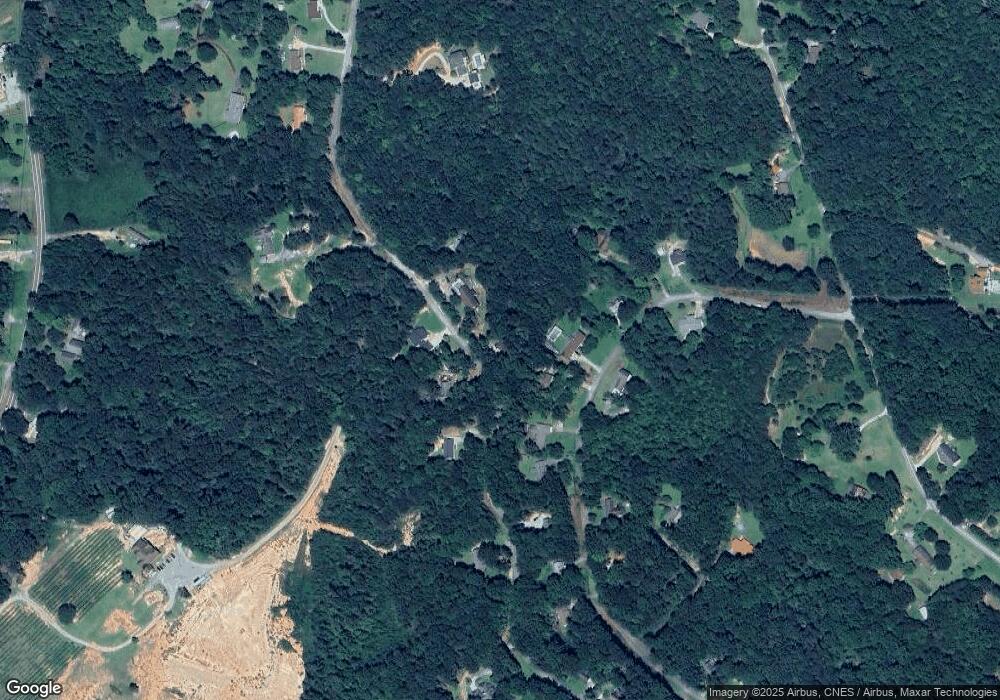
Map
Nearby Homes
- 75 Cawthon Rd
- 808 Cawthon Rd
- 2003 W Currahee St
- 69 Easy St
- 258 Persimmon St
- 168 Yearwood St
- 1241 W Currahee St
- 151 Richardson St
- 1203 Mize Rd
- 184 Scott Cir
- 1037 S Pond St
- 103 Old Liberty Hill Rd
- 943 S Pond St
- 48 Owen St
- 98 Wood St
- 574 S Sage St
- 871 W Leatherwood Rd
- 915 W Leatherwood Rd
- 288 S Broad St
- 10 Busha St
- 4806 Cawthon Rd Unit 303
- 188 Sherwood St
- 383 Cawthon Rd
- 176 Sherwood St
- 420 Cawthon Rd
- 214 Sherwood St
- 396 Cawthon Rd
- 152 Sherwood St
- 466 Cawthon Rd
- 193 Sherwood St
- 232 Sherwood St
- 116 Sherwood St
- 541 Cawthon Rd
- 99 Sherwood St
- 98 Sherwood St
- 275 Sherwood St
- 538 Cawthon Rd
- 292 Sherwood St Unit 9
- 292 Sherwood St
- 67 Sherwood Ct
Your Personal Tour Guide
Ask me questions while you tour the home.