435 Chestnut Oak Rd Narvon, PA 17555
Estimated Value: $332,000 - $485,047
1
Bed
1
Bath
1,728
Sq Ft
$223/Sq Ft
Est. Value
About This Home
This home is located at 435 Chestnut Oak Rd, Narvon, PA 17555 and is currently estimated at $384,762, approximately $222 per square foot. 435 Chestnut Oak Rd is a home located in Lancaster County with nearby schools including Garden Spot Middle School, Garden Spot Senior High School, and Conestoga Christian School.
Ownership History
Date
Name
Owned For
Owner Type
Purchase Details
Closed on
Feb 19, 2010
Sold by
Petrofske Mary T
Bought by
Armentrout George and Armentrout Pamela L
Current Estimated Value
Home Financials for this Owner
Home Financials are based on the most recent Mortgage that was taken out on this home.
Original Mortgage
$203,500
Outstanding Balance
$137,811
Interest Rate
5.5%
Mortgage Type
FHA
Estimated Equity
$246,951
Create a Home Valuation Report for This Property
The Home Valuation Report is an in-depth analysis detailing your home's value as well as a comparison with similar homes in the area
Home Values in the Area
Average Home Value in this Area
Purchase History
| Date | Buyer | Sale Price | Title Company |
|---|---|---|---|
| Armentrout George | $140,000 | First American Title Ins Co |
Source: Public Records
Mortgage History
| Date | Status | Borrower | Loan Amount |
|---|---|---|---|
| Open | Armentrout George | $203,500 |
Source: Public Records
Tax History Compared to Growth
Tax History
| Year | Tax Paid | Tax Assessment Tax Assessment Total Assessment is a certain percentage of the fair market value that is determined by local assessors to be the total taxable value of land and additions on the property. | Land | Improvement |
|---|---|---|---|---|
| 2025 | $4,555 | $280,800 | $143,400 | $137,400 |
| 2024 | $4,555 | $280,800 | $143,400 | $137,400 |
| 2023 | $4,429 | $280,800 | $143,400 | $137,400 |
| 2022 | $4,429 | $280,800 | $143,400 | $137,400 |
| 2021 | $4,351 | $280,800 | $143,400 | $137,400 |
| 2020 | $4,351 | $280,800 | $143,400 | $137,400 |
| 2019 | $4,299 | $280,800 | $143,400 | $137,400 |
| 2018 | $5,141 | $280,800 | $143,400 | $137,400 |
| 2017 | $4,220 | $224,600 | $91,700 | $132,900 |
| 2016 | $4,220 | $224,600 | $91,700 | $132,900 |
| 2015 | $842 | $224,600 | $91,700 | $132,900 |
| 2014 | $3,173 | $224,600 | $91,700 | $132,900 |
Source: Public Records
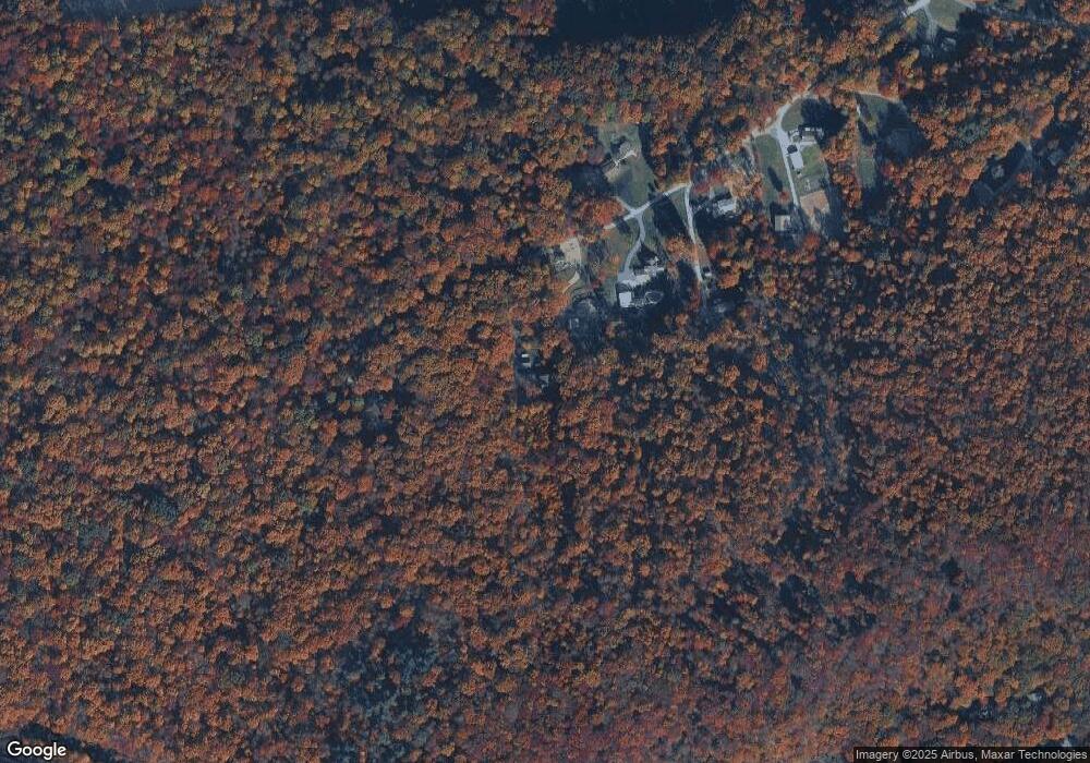
Map
Nearby Homes
- 0 Westbrook Dr
- 0 Westbrook Dr
- 0 Westbrook Dr
- 0 Westbrook Dr
- 112 Maxwell Hill Rd
- 2085 Main St
- 1022 Elwood St
- 407 Cahill Cir Unit 4
- 110 Petrelia Dr
- 650 Broad St
- 607 Buchland Rd
- 1520 Lexington Way
- 1 Senn Ln
- 3511 Main St
- 24 Wexford Ct
- 44 Wexford Ct
- 5892 Meadville Rd
- 102 Country Ln
- 5490 Division Hwy
- 0 Laurel Rd
- 431 Chestnut Oak Rd
- 427 Chestnut Oak Rd
- 439 Chestnut Oak Rd
- 430 Chestnut Oak Rd
- 386 Shirktown Rd
- 384 Shirktown Rd
- 581 Friendship Dr
- 400 Shirktown Rd
- 585 Friendship Dr
- 577 Friendship Dr
- 383 Shirktown Rd
- 410 Shirktown Rd
- 569 Friendship Dr
- 393 Shirktown Rd
- 565 Friendship Dr
- 589 Friendship Dr
- 428 Shirktown Rd
- 578 Friendship Dr
- 403 Shirktown Rd
- 590 Friendship Dr