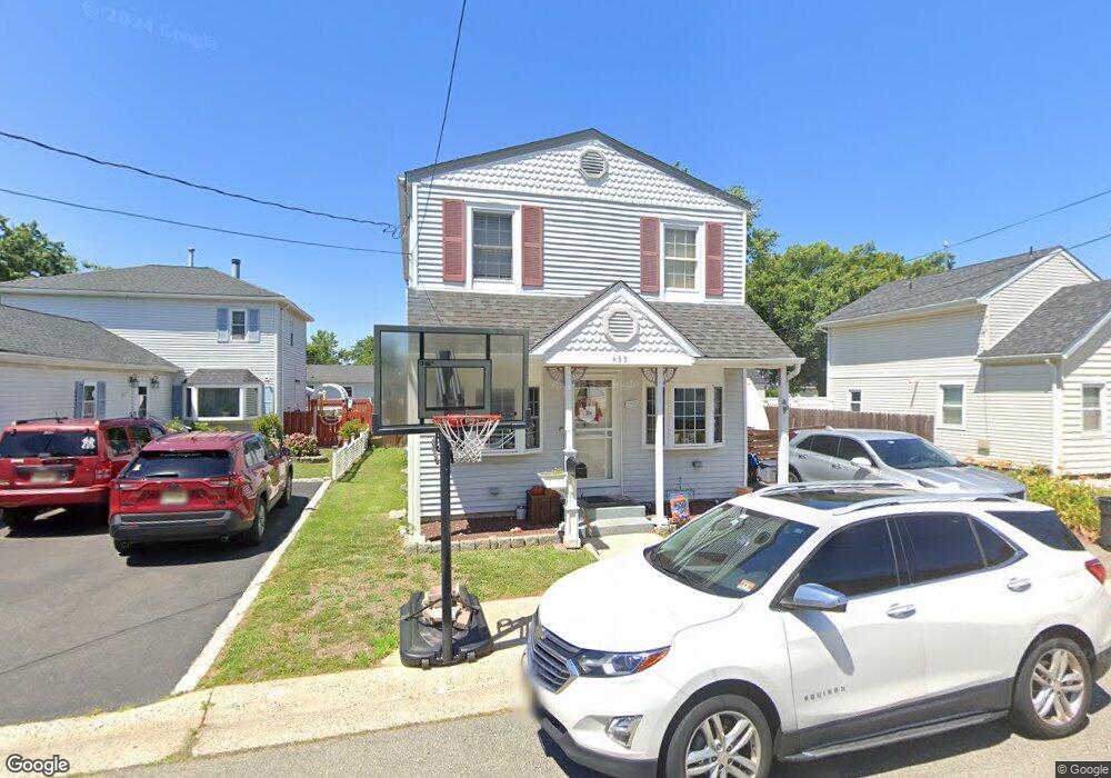
435 Clark Ave Union Beach, NJ 07735
Estimated Value: $449,115 - $518,000
3
Beds
2
Baths
1,520
Sq Ft
$317/Sq Ft
Est. Value
About This Home
This home is located at 435 Clark Ave, Union Beach, NJ 07735 and is currently estimated at $481,529, approximately $316 per square foot. 435 Clark Ave is a home located in Monmouth County with nearby schools including Memorial School and Baytul-Iman Academy.
Ownership History
Date
Name
Owned For
Owner Type
Purchase Details
Closed on
Mar 22, 2004
Sold by
Nieves Jose
Bought by
Smith Sean and Borkowski Melissa
Current Estimated Value
Home Financials for this Owner
Home Financials are based on the most recent Mortgage that was taken out on this home.
Original Mortgage
$235,000
Outstanding Balance
$109,136
Interest Rate
5.58%
Estimated Equity
$372,393
Purchase Details
Closed on
Jul 28, 1999
Sold by
Shuck Damon
Bought by
Nieves Jose and Nieves Gloria
Home Financials for this Owner
Home Financials are based on the most recent Mortgage that was taken out on this home.
Original Mortgage
$139,775
Interest Rate
7.53%
Mortgage Type
FHA
Create a Home Valuation Report for This Property
The Home Valuation Report is an in-depth analysis detailing your home's value as well as a comparison with similar homes in the area
Home Values in the Area
Average Home Value in this Area
Purchase History
| Date | Buyer | Sale Price | Title Company |
|---|---|---|---|
| Smith Sean | $235,000 | -- | |
| Nieves Jose | $141,000 | -- |
Source: Public Records
Mortgage History
| Date | Status | Borrower | Loan Amount |
|---|---|---|---|
| Open | Smith Sean | $235,000 | |
| Previous Owner | Nieves Jose | $139,775 |
Source: Public Records
Tax History Compared to Growth
Tax History
| Year | Tax Paid | Tax Assessment Tax Assessment Total Assessment is a certain percentage of the fair market value that is determined by local assessors to be the total taxable value of land and additions on the property. | Land | Improvement |
|---|---|---|---|---|
| 2025 | $7,551 | $401,800 | $198,400 | $203,400 |
| 2024 | $7,212 | $366,200 | $172,700 | $193,500 |
| 2023 | $7,212 | $337,000 | $150,200 | $186,800 |
| 2022 | $6,403 | $289,700 | $120,100 | $169,600 |
| 2021 | $6,403 | $260,800 | $109,200 | $151,600 |
| 2020 | $5,943 | $236,200 | $94,500 | $141,700 |
| 2019 | $5,550 | $215,200 | $90,000 | $125,200 |
| 2018 | $5,484 | $204,400 | $83,000 | $121,400 |
| 2017 | $5,825 | $208,700 | $65,800 | $142,900 |
| 2016 | $5,745 | $206,000 | $65,800 | $140,200 |
| 2015 | $5,582 | $203,800 | $70,000 | $133,800 |
| 2014 | $4,535 | $136,500 | $76,600 | $59,900 |
Source: Public Records
Map
Nearby Homes
- 425 Clark Ave
- 525 Washington Ave
- 413 Sullivan Place
- 628 Morningside Ave
- 51 Sams Trailer Ct
- 631 Sydney Ave
- 34 Hemlock St
- 521 Columbia Ave
- 1217 Union Ave
- 1319 Union Ave
- 1213 New Jersey 36
- 650 Washington Ave
- 21 Hemlock St
- 401 Spruce St
- 535 Lorillard Ave
- 602 Union Ave
- 425 Bayview Ave
- 9 Scholer Dr
- 412 Union Ave
- 715 Park Ave
- 431 Clark Ave
- 439 Clark Ave
- 440 Morningside Ave
- 448 Morningside Ave
- 503 Clark Ave
- 440 Clark Ave
- 428 Clark Ave
- 507 Clark Ave
- 428 Morningside Ave
- 520 Morningside Ave
- 511 Clark Ave
- 502 Father Fitzpatrick Way
- 500 Father Fitzpatrick Way
- 420 Clark Ave
- 424 Morningside Ave
- 449 Morningside Ave
- 507 Father Fitzpatrick Way
- 443 Morningside Ave
- 437 Aumack Ave
- 409 Clark Ave