435 Cope Ln Forsyth, MO 65653
Estimated Value: $371,000 - $661,000
Studio
--
Bath
2,616
Sq Ft
$205/Sq Ft
Est. Value
About This Home
This home is located at 435 Cope Ln, Forsyth, MO 65653 and is currently estimated at $535,185, approximately $204 per square foot. 435 Cope Ln is a home with nearby schools including Forsyth Elementary School, Forsyth Middle School, and Forsyth High School.
Ownership History
Date
Name
Owned For
Owner Type
Purchase Details
Closed on
Dec 22, 2025
Sold by
Loughner Nancy K
Bought by
Revocable Trust Of John I Loughner Jr And Nan and Loughner
Current Estimated Value
Purchase Details
Closed on
Dec 3, 2019
Sold by
Loughner John I and Loughner Nancy K
Bought by
Loughner John I and Loughner Nancy K
Purchase Details
Closed on
Apr 20, 2018
Sold by
Loughner John I and Loughner Nancy K
Bought by
Loughner John I and Loughner Nancy K
Home Financials for this Owner
Home Financials are based on the most recent Mortgage that was taken out on this home.
Original Mortgage
$490,320
Interest Rate
4.44%
Mortgage Type
VA
Purchase Details
Closed on
Apr 9, 2014
Sold by
Delozier Melissa Kaye
Bought by
Loughner John I and Loughner Nancy K
Purchase Details
Closed on
Sep 20, 2011
Sold by
Harns Ronnie Marvin and Harns Joanne
Bought by
Delozier Melissa Kaye and Harn Land Trust
Create a Home Valuation Report for This Property
The Home Valuation Report is an in-depth analysis detailing your home's value as well as a comparison with similar homes in the area
Home Values in the Area
Average Home Value in this Area
Purchase History
| Date | Buyer | Sale Price | Title Company |
|---|---|---|---|
| Revocable Trust Of John I Loughner Jr And Nan | -- | None Listed On Document | |
| Loughner John I | -- | Continental Title | |
| Loughner John I | -- | None Available | |
| Loughner John I | -- | None Available | |
| Delozier Melissa Kaye | -- | -- |
Source: Public Records
Mortgage History
| Date | Status | Borrower | Loan Amount |
|---|---|---|---|
| Previous Owner | Loughner John I | $490,320 |
Source: Public Records
Tax History
| Year | Tax Paid | Tax Assessment Tax Assessment Total Assessment is a certain percentage of the fair market value that is determined by local assessors to be the total taxable value of land and additions on the property. | Land | Improvement |
|---|---|---|---|---|
| 2025 | $3,637 | $64,920 | -- | -- |
| 2024 | $3,637 | $73,060 | -- | -- |
| 2023 | $3,637 | $73,060 | -- | -- |
| 2022 | $3,603 | $73,060 | $0 | $0 |
| 2021 | $3,594 | $73,060 | $0 | $0 |
| 2019 | $3,104 | $64,450 | $0 | $0 |
| 2018 | $2,154 | $44,870 | $0 | $0 |
| 2017 | $75 | $1,560 | $0 | $0 |
| 2016 | $75 | $1,560 | $0 | $0 |
| 2015 | $75 | $1,560 | $0 | $0 |
| 2014 | $76 | $1,560 | $0 | $0 |
Source: Public Records
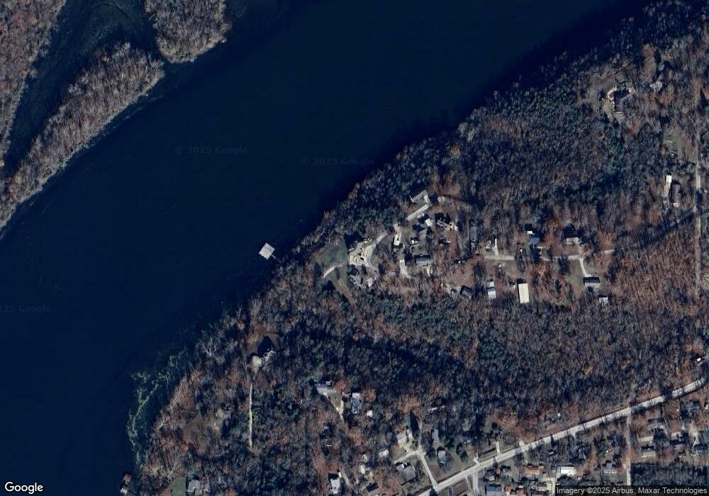
Map
Nearby Homes
- 202 Cardinal Rd
- 189 Harvard Dr
- 1538 State Highway Y
- 249 Mount Vernon Rd
- 149 & 155 Parmenter Ln
- 425 Edgewater Beach Cir
- Lot 205 Lake Taneycomo Woods
- 145 Snapper St
- 221 Turtle Ridge Dr
- 201 Turtle Ridge Dr
- 191 Turtle Ridge Dr
- 181 Turtle Ridge Dr
- 211 Turtle Ridge Dr
- 161 Turtle Ridge Dr
- 151 Turtle Ridge Dr
- 5 Turtle Ridge Dr
- 111 Turtle Ridge Dr
- Lot270-274 Lake Taneycomo Woods
- 000 Greers Ferry Rd
- 790 Pomme de Terre Rd
Your Personal Tour Guide
Ask me questions while you tour the home.