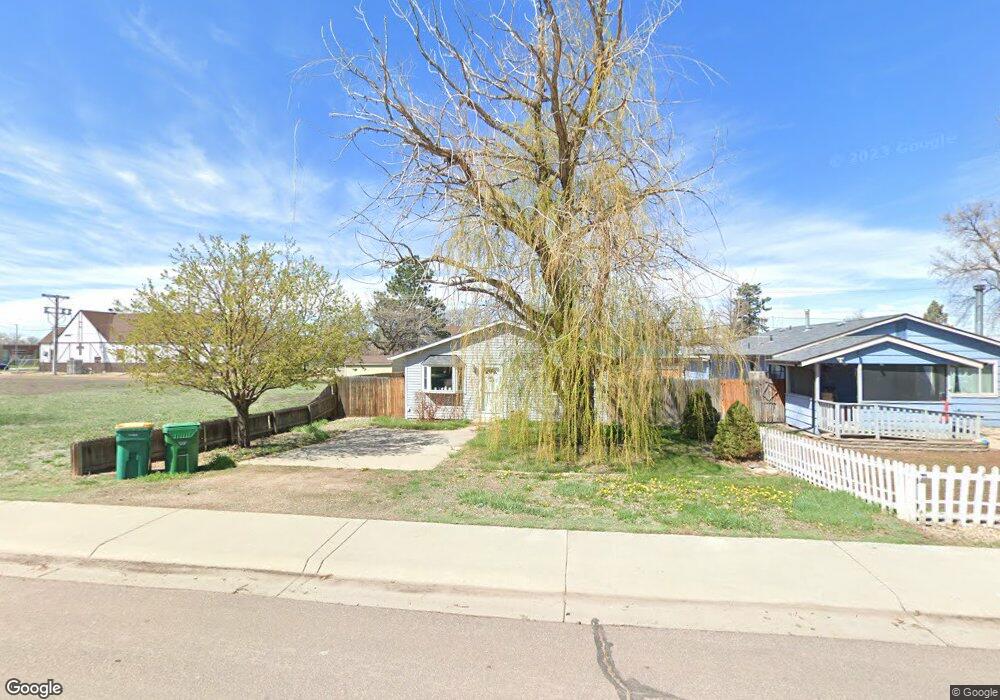
435 Date St Hudson, CO 80642
Estimated Value: $368,000 - $393,606
3
Beds
1
Bath
1,120
Sq Ft
$336/Sq Ft
Est. Value
About This Home
This home is located at 435 Date St, Hudson, CO 80642 and is currently estimated at $376,152, approximately $335 per square foot. 435 Date St is a home located in Weld County with nearby schools including Weld Central Senior High School.
Ownership History
Date
Name
Owned For
Owner Type
Purchase Details
Closed on
Jan 29, 2024
Sold by
Robert D Kelly Pc
Bought by
Kelly Robert D
Current Estimated Value
Purchase Details
Closed on
Jul 28, 2017
Sold by
Haliw Kristina M
Bought by
King Jessica Ann
Home Financials for this Owner
Home Financials are based on the most recent Mortgage that was taken out on this home.
Original Mortgage
$211,105
Interest Rate
3.91%
Mortgage Type
FHA
Purchase Details
Closed on
Mar 10, 1987
Sold by
Veterans Administration
Bought by
Heath Scott A
Purchase Details
Closed on
Jun 16, 1986
Create a Home Valuation Report for This Property
The Home Valuation Report is an in-depth analysis detailing your home's value as well as a comparison with similar homes in the area
Home Values in the Area
Average Home Value in this Area
Purchase History
| Date | Buyer | Sale Price | Title Company |
|---|---|---|---|
| Kelly Robert D | -- | None Listed On Document | |
| King Jessica Ann | $215,000 | Chicago Title Co | |
| Heath Scott A | $43,000 | -- | |
| -- | -- | -- |
Source: Public Records
Mortgage History
| Date | Status | Borrower | Loan Amount |
|---|---|---|---|
| Previous Owner | King Jessica Ann | $211,105 |
Source: Public Records
Tax History Compared to Growth
Tax History
| Year | Tax Paid | Tax Assessment Tax Assessment Total Assessment is a certain percentage of the fair market value that is determined by local assessors to be the total taxable value of land and additions on the property. | Land | Improvement |
|---|---|---|---|---|
| 2025 | $1,787 | $21,310 | $3,520 | $17,790 |
| 2024 | $1,787 | $21,310 | $3,520 | $17,790 |
| 2023 | $1,718 | $25,080 | $4,740 | $20,340 |
| 2022 | $1,594 | $18,800 | $3,480 | $15,320 |
| 2021 | $1,699 | $19,350 | $3,580 | $15,770 |
| 2020 | $1,553 | $18,330 | $2,500 | $15,830 |
| 2019 | $1,604 | $18,330 | $2,500 | $15,830 |
| 2018 | $1,283 | $14,370 | $2,740 | $11,630 |
| 2017 | $1,235 | $14,370 | $2,740 | $11,630 |
| 2016 | $921 | $10,630 | $2,790 | $7,840 |
| 2015 | $815 | $10,630 | $2,790 | $7,840 |
| 2014 | $497 | $6,420 | $1,190 | $5,230 |
Source: Public Records
Map
Nearby Homes
- 458 Cherry St
- 608 Cedar St
- 22385 Highway 52
- 1st 1st Ave
- 130 Dahlia St
- 218 Grape St Unit 1
- 218 Grape St Unit 3
- 218 Grape St Unit 12
- 218 Grape St Unit 29
- 130 Elm St
- 505 Foxtail Dr
- 508 Hickory St
- 11 Sunset Ct
- 250 Buckboard Dr
- 240 Buckboard Dr
- 230 Buckboard Dr
- 220 Buckboard Dr
- 210 Buckboard Dr
- 215 Dawn Dr
- 220 Dawn Dr