Estimated Value: $380,000 - $702,037
Studio
--
Bath
1,682
Sq Ft
$341/Sq Ft
Est. Value
About This Home
This home is located at 435 E Satsop Rd, Elma, WA 98541 and is currently estimated at $574,259, approximately $341 per square foot. 435 E Satsop Rd is a home located in Grays Harbor County with nearby schools including Satsop Elementary School.
Ownership History
Date
Name
Owned For
Owner Type
Purchase Details
Closed on
Jul 19, 2013
Sold by
Carlson Kenneth D and Carlson Sue
Bought by
Glick C Michelle
Current Estimated Value
Purchase Details
Closed on
Jan 5, 2007
Sold by
Glick Stormy James R
Bought by
Carlson Kenneth D and Carlson Sue
Home Financials for this Owner
Home Financials are based on the most recent Mortgage that was taken out on this home.
Original Mortgage
$110,000
Interest Rate
6.12%
Mortgage Type
Seller Take Back
Create a Home Valuation Report for This Property
The Home Valuation Report is an in-depth analysis detailing your home's value as well as a comparison with similar homes in the area
Purchase History
| Date | Buyer | Sale Price | Title Company |
|---|---|---|---|
| Glick C Michelle | $115,601 | Pacific Title | |
| Carlson Kenneth D | $110,000 | Pacific Title |
Source: Public Records
Mortgage History
| Date | Status | Borrower | Loan Amount |
|---|---|---|---|
| Previous Owner | Carlson Kenneth D | $110,000 |
Source: Public Records
Tax History
| Year | Tax Paid | Tax Assessment Tax Assessment Total Assessment is a certain percentage of the fair market value that is determined by local assessors to be the total taxable value of land and additions on the property. | Land | Improvement |
|---|---|---|---|---|
| 2025 | $5,695 | $681,300 | $155,200 | $526,100 |
| 2023 | $4,935 | $565,052 | $142,490 | $422,562 |
| 2022 | $3,646 | $376,355 | $89,056 | $287,299 |
| 2021 | $3,327 | $376,355 | $89,056 | $287,299 |
| 2020 | $2,960 | $307,917 | $80,960 | $226,957 |
| 2019 | $2,991 | $267,754 | $70,400 | $197,354 |
| 2018 | $2,028 | $267,754 | $70,400 | $197,354 |
| 2017 | $862 | $166,689 | $58,674 | $108,015 |
| 2016 | $1,276 | $75,409 | $58,674 | $16,735 |
| 2014 | -- | $114,549 | $58,674 | $55,875 |
| 2013 | -- | $109,825 | $55,880 | $53,945 |
Source: Public Records
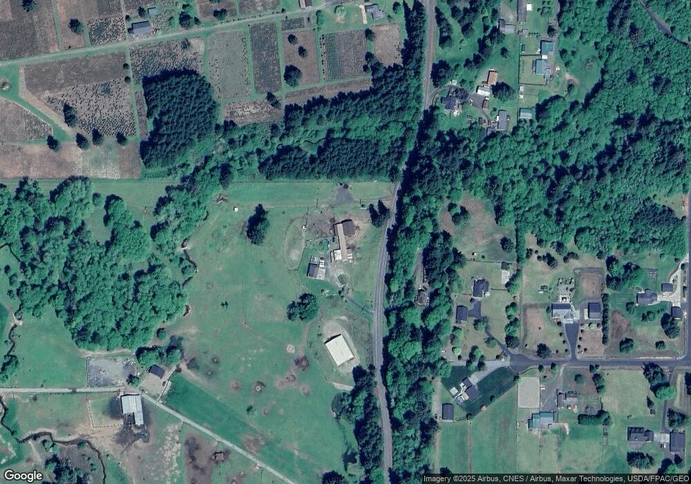
Map
Nearby Homes
- 732 Satsop Rd W
- 912 Middle Satsop Rd
- 673 Monte Elma Rd
- 573 Monte Elma Rd
- 575 Monte Elma Rd
- 13 Barrett Rd W
- 40 Hiram Hall Rd
- 0 Lot 6 Div 1 Raven Ln Unit NWM2180294
- 0 Lot 5 Div 1 Raven Ln Unit NWM2180279
- 15 Miller Ln
- 0 Lot 1 Div 2 Raven Ln Unit NWM2180313
- 0 Lot 4 Div 1 Raven Ln Unit NWM2180519
- 0 Lot 1 Div 1 Raven Ln Unit NWM2180152
- 139 Monte Brady Rd
- 213 Monte Elma Rd
- 209 Monte Elma Rd
- 0 Hurd Rd
- 18 Muddler Ln
- 0 Spradlin Rd
- E Satsop Rd W
Your Personal Tour Guide
Ask me questions while you tour the home.