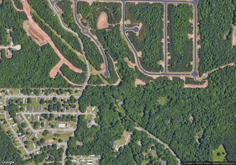
435 Exploration Trace Unit EC73 4 Sides Brick Ellenwood, GA 30294
Estimated Value: $402,095 - $494,000
5
Beds
3
Baths
2,672
Sq Ft
$162/Sq Ft
Est. Value
About This Home
This home is located at 435 Exploration Trace Unit EC73 4 Sides Brick, Ellenwood, GA 30294 and is currently estimated at $431,774, approximately $161 per square foot. 435 Exploration Trace Unit EC73 4 Sides Brick is a home located in Henry County with nearby schools including Fairview Elementary School, Austin Road Middle School, and Stockbridge High School.
Ownership History
Date
Name
Owned For
Owner Type
Purchase Details
Closed on
Jun 30, 2021
Sold by
Capshaw Development Co Llc
Bought by
Mcclain Jason
Current Estimated Value
Home Financials for this Owner
Home Financials are based on the most recent Mortgage that was taken out on this home.
Original Mortgage
$316,840
Outstanding Balance
$286,859
Interest Rate
2.9%
Mortgage Type
New Conventional
Estimated Equity
$144,915
Purchase Details
Closed on
Oct 9, 2020
Sold by
Geosam Capital Us Atlanta Lp
Bought by
Capshaw Development Co Llc
Create a Home Valuation Report for This Property
The Home Valuation Report is an in-depth analysis detailing your home's value as well as a comparison with similar homes in the area
Home Values in the Area
Average Home Value in this Area
Purchase History
| Date | Buyer | Sale Price | Title Company |
|---|---|---|---|
| Mcclain Jason | $341,440 | -- | |
| Capshaw Development Co Llc | -- | -- |
Source: Public Records
Mortgage History
| Date | Status | Borrower | Loan Amount |
|---|---|---|---|
| Open | Mcclain Jason | $316,840 |
Source: Public Records
Tax History Compared to Growth
Tax History
| Year | Tax Paid | Tax Assessment Tax Assessment Total Assessment is a certain percentage of the fair market value that is determined by local assessors to be the total taxable value of land and additions on the property. | Land | Improvement |
|---|---|---|---|---|
| 2025 | $6,014 | $175,440 | $18,000 | $157,440 |
| 2024 | $6,014 | $167,920 | $18,000 | $149,920 |
| 2023 | $5,012 | $156,360 | $16,000 | $140,360 |
| 2022 | $4,533 | $136,600 | $20,763 | $115,837 |
| 2021 | $797 | $18,720 | $18,720 | $0 |
| 2020 | $718 | $20,800 | $20,800 | $0 |
Source: Public Records
Map
Nearby Homes
- 11 Poole Cir
- 19 Poole Cir
- 0 Clark Dr Unit 7635843
- 0 Clark Dr Unit 10581907
- 3607 Masters Rd
- 201 Leigh Dr
- 3547 Pleas Dr
- 0 River Rd Unit 10575921
- LOT 15 Fairview Springs Dr
- 4457 Lincoln Jones Rd
- 115 Bond Dr
- 3854 Busby Mill Ct
- 3339 Clevemont Ct
- 50 Oakridge Dr Unit 4
- 3464 Linecrest Rd
- 5125 Flakes Mill Rd
- 594 Cook Dr
- 0 Cook Dr Unit 10505982
- 0 Cook Dr Unit 7525928
- 308 Fair Dr Unit 1
- 435 Exploration Trace Unit LOT 73
- 435 Exploration Trace Unit EC-73
- 435 Exploration Trace Unit EC72 4 Sides Brick
- 431 Exploration Trace Unit LOT 74
- 431 Exploration Trace Unit LOT EC-74
- 427 Exploration Trace Unit LOT 75
- 427 Exploration Trace Unit EC-75
- 427 Exploration Trace Unit EC75 4 Sides Brick
- 277 Expedition Dr
- 114 Creek Cove Ln
- 281 Expedition Dr
- 428 Exploration Trace Unit LOT 72
- 428 Exploration Trace Unit EC-72
- 423 Exploration Trace
- 285 Expedition Dr
- 424 Exploration Trace Unit LOT 71
- 424 Exploration Trace Unit EC-71
- 424 Exploration Trace Unit EC71 4 Sides Brick
- 289 Expedition Dr Unit Lot 48
- 289 Expedition Dr Unit EC-48
