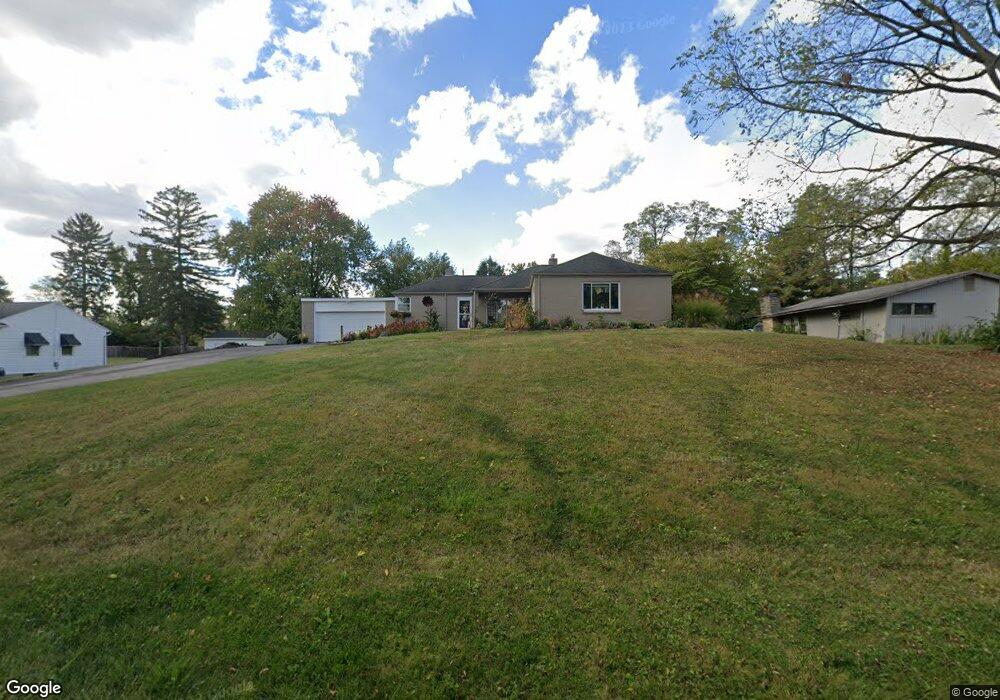
435 Forest Dr Springfield, OH 45505
Estimated Value: $241,064 - $315,000
3
Beds
2
Baths
1,771
Sq Ft
$156/Sq Ft
Est. Value
About This Home
This home is located at 435 Forest Dr, Springfield, OH 45505 and is currently estimated at $276,766, approximately $156 per square foot. 435 Forest Dr is a home located in Clark County with nearby schools including Possum Elementary School, Shawnee Middle School/High School, and Catholic Central Elementary School - Lagonda Campus.
Ownership History
Date
Name
Owned For
Owner Type
Purchase Details
Closed on
Nov 1, 2017
Sold by
Neville Robert W
Bought by
Neville Nicole M and White Nicole M
Current Estimated Value
Purchase Details
Closed on
Jun 27, 2008
Sold by
Elliott Gary S and Elliott Sherry L
Bought by
Neville Robet W and Neville Nicole M
Home Financials for this Owner
Home Financials are based on the most recent Mortgage that was taken out on this home.
Original Mortgage
$125,000
Outstanding Balance
$79,160
Interest Rate
6.05%
Mortgage Type
Purchase Money Mortgage
Estimated Equity
$197,606
Purchase Details
Closed on
Oct 23, 1991
Sold by
Elliott Gary S and Elliott Sherry L
Bought by
Elliott Gary S and Elliott Sherry L
Purchase Details
Closed on
Sep 1, 1989
Create a Home Valuation Report for This Property
The Home Valuation Report is an in-depth analysis detailing your home's value as well as a comparison with similar homes in the area
Home Values in the Area
Average Home Value in this Area
Purchase History
| Date | Buyer | Sale Price | Title Company |
|---|---|---|---|
| Neville Nicole M | -- | None Available | |
| Neville Robet W | $133,000 | None Available | |
| Elliott Gary S | -- | -- | |
| -- | $77,500 | -- |
Source: Public Records
Mortgage History
| Date | Status | Borrower | Loan Amount |
|---|---|---|---|
| Open | Neville Robet W | $125,000 |
Source: Public Records
Tax History
| Year | Tax Paid | Tax Assessment Tax Assessment Total Assessment is a certain percentage of the fair market value that is determined by local assessors to be the total taxable value of land and additions on the property. | Land | Improvement |
|---|---|---|---|---|
| 2025 | $3,232 | $73,660 | $11,030 | $62,630 |
| 2024 | -- | $64,330 | $10,590 | $53,740 |
| 2023 | $3,148 | $64,330 | $10,590 | $53,740 |
| 2022 | $1,531 | $64,330 | $10,590 | $53,740 |
| 2021 | $2,522 | $46,610 | $8,750 | $37,860 |
| 2020 | $2,543 | $46,610 | $8,750 | $37,860 |
| 2019 | $2,583 | $46,610 | $8,750 | $37,860 |
| 2018 | $2,568 | $45,610 | $10,940 | $34,670 |
| 2017 | $2,631 | $41,111 | $10,941 | $30,170 |
| 2016 | $2,375 | $41,111 | $10,941 | $30,170 |
| 2015 | $2,287 | $41,111 | $10,941 | $30,170 |
| 2014 | $2,294 | $41,111 | $10,941 | $30,170 |
| 2013 | $1,993 | $41,111 | $10,941 | $30,170 |
Source: Public Records
Map
Nearby Homes
- 507 Elbron Rd
- 3012 E High St
- 631 Kramer Rd
- 218 Golden Gate Ave
- 138 Lawnview Ave
- 224 Mackinac Dr
- 451 Lawnview Ave
- 224 Roebling St
- 2804 Lowman St
- 255 S Bird Rd
- 180 Chesapeake Cir
- 2745 Share St
- 2730 E Main St
- 2702 Maplewood Ave
- 1011 Mount Joy St
- 2809 Morton Dr
- 375 N Fostoria Ave
- 115 S Burnett Rd
- 330 Larchmont Ave
- 360 Buxton Ave
Your Personal Tour Guide
Ask me questions while you tour the home.