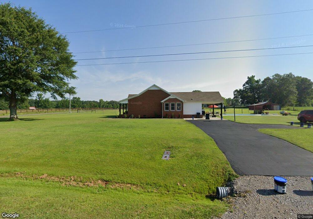
435 Garrison Rd Hartselle, AL 35640
Estimated Value: $263,000 - $317,000
3
Beds
2
Baths
1,698
Sq Ft
$171/Sq Ft
Est. Value
About This Home
This home is located at 435 Garrison Rd, Hartselle, AL 35640 and is currently estimated at $291,057, approximately $171 per square foot. 435 Garrison Rd is a home located in Morgan County with nearby schools including Danville-Neel Elementary School, Danville Middle School, and Danville High School.
Ownership History
Date
Name
Owned For
Owner Type
Purchase Details
Closed on
Dec 14, 2020
Sold by
Mitchell Wesley D and Mitchell Casey A
Bought by
Crow Monica White and Crow David K
Current Estimated Value
Home Financials for this Owner
Home Financials are based on the most recent Mortgage that was taken out on this home.
Original Mortgage
$169,905
Outstanding Balance
$151,266
Interest Rate
2.7%
Mortgage Type
New Conventional
Estimated Equity
$139,791
Purchase Details
Closed on
Feb 19, 2010
Sold by
Hendrix James M and Hendrix Tina R
Bought by
Mitchell Wesley D and Mitchell Casey A
Home Financials for this Owner
Home Financials are based on the most recent Mortgage that was taken out on this home.
Original Mortgage
$146,202
Interest Rate
5.07%
Mortgage Type
FHA
Create a Home Valuation Report for This Property
The Home Valuation Report is an in-depth analysis detailing your home's value as well as a comparison with similar homes in the area
Home Values in the Area
Average Home Value in this Area
Purchase History
| Date | Buyer | Sale Price | Title Company |
|---|---|---|---|
| Crow Monica White | $199,900 | None Available | |
| Mitchell Wesley D | -- | None Available |
Source: Public Records
Mortgage History
| Date | Status | Borrower | Loan Amount |
|---|---|---|---|
| Open | Crow Monica White | $169,905 | |
| Previous Owner | Mitchell Wesley D | $146,202 |
Source: Public Records
Tax History Compared to Growth
Tax History
| Year | Tax Paid | Tax Assessment Tax Assessment Total Assessment is a certain percentage of the fair market value that is determined by local assessors to be the total taxable value of land and additions on the property. | Land | Improvement |
|---|---|---|---|---|
| 2024 | $797 | $22,720 | $2,070 | $20,650 |
| 2023 | $797 | $21,880 | $1,910 | $19,970 |
| 2022 | $712 | $20,470 | $1,740 | $18,730 |
| 2021 | $575 | $17,400 | $1,600 | $15,800 |
| 2020 | $575 | $31,980 | $1,600 | $30,380 |
| 2019 | $575 | $16,800 | $1,600 | $15,190 |
| 2015 | $440 | $13,200 | $0 | $0 |
| 2014 | $440 | $13,200 | $0 | $0 |
| 2013 | -- | $12,160 | $0 | $0 |
Source: Public Records
Map
Nearby Homes
- 40 Acres Targum Rd
- 5039 Danville Rd
- 7364 Danville Rd
- 152 Old Vaughn Bridge Rd
- 451 Forest Chapel Rd
- 35 Iron Man Rd
- 2700 Hall St SW
- 2585 Highway 36 W
- 1305 N Johnson Chapel Rd
- 7853 Danville Rd
- 100 Spring Valley Dr
- 92 Spring Valley Dr
- 5534 Highway 36 W
- 1908 Highway 36 W
- 132 Liberty Rd
- 1376 Neel School Rd
- 1 Bud Weaver Rd
- 1607 Nethery Rd
- 1806 Tunsel Rd SW
- 2310 Nance Ford Rd
- 1151 Targum Rd
- 412 Garrison Rd
- 1171 Targum Rd
- 339 Garrison Rd
- 364 Garrison Rd
- 336 Garrison Rd
- 1150 Targum Rd
- 1207 Targum Rd
- 322 Garrison Rd
- 289 Garrison Rd
- 270 Garrison Rd
- 70 Mcnutt Rd
- 1291 Targum Rd
- 1291 E Side of Unnamed Rd
- 216 Garrison Rd
- 39 Mcnutt Rd
- 190 Garrison Rd
- 28A Community Ln
- 184 Garrison Rd
- 151 Mcnutt Rd