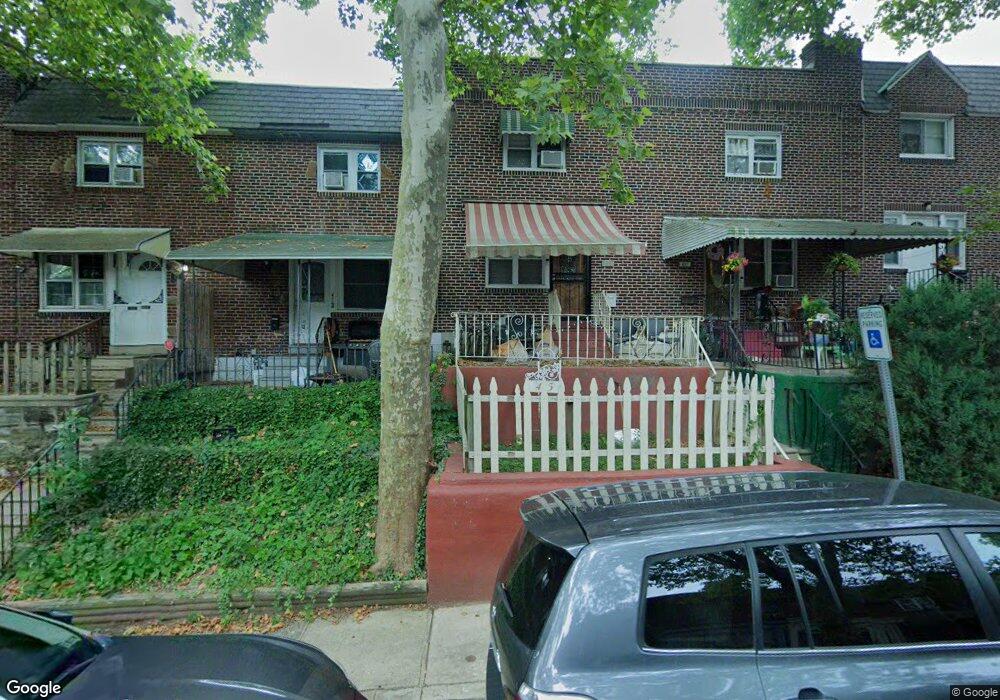
435 Glendale Rd Upper Darby, PA 19082
Estimated Value: $132,524 - $156,000
3
Beds
1
Bath
928
Sq Ft
$157/Sq Ft
Est. Value
About This Home
This home is located at 435 Glendale Rd, Upper Darby, PA 19082 and is currently estimated at $145,631, approximately $156 per square foot. 435 Glendale Rd is a home located in Delaware County with nearby schools including Upper Darby Kdg Center, Upper Darby High School, and Lansdowne Friends School.
Ownership History
Date
Name
Owned For
Owner Type
Purchase Details
Closed on
Mar 30, 1999
Sold by
Glasbrenner Paul W and Glasbrenner Lori A
Bought by
Singh Regina S
Current Estimated Value
Home Financials for this Owner
Home Financials are based on the most recent Mortgage that was taken out on this home.
Original Mortgage
$42,850
Outstanding Balance
$10,616
Interest Rate
6.78%
Mortgage Type
FHA
Estimated Equity
$135,015
Create a Home Valuation Report for This Property
The Home Valuation Report is an in-depth analysis detailing your home's value as well as a comparison with similar homes in the area
Home Values in the Area
Average Home Value in this Area
Purchase History
| Date | Buyer | Sale Price | Title Company |
|---|---|---|---|
| Singh Regina S | $42,500 | Security Search & Abstract C |
Source: Public Records
Mortgage History
| Date | Status | Borrower | Loan Amount |
|---|---|---|---|
| Open | Singh Regina S | $42,850 |
Source: Public Records
Tax History Compared to Growth
Tax History
| Year | Tax Paid | Tax Assessment Tax Assessment Total Assessment is a certain percentage of the fair market value that is determined by local assessors to be the total taxable value of land and additions on the property. | Land | Improvement |
|---|---|---|---|---|
| 2025 | $2,770 | $65,490 | $13,620 | $51,870 |
| 2024 | $2,770 | $65,490 | $13,620 | $51,870 |
| 2023 | $2,744 | $65,490 | $13,620 | $51,870 |
| 2022 | $2,670 | $65,490 | $13,620 | $51,870 |
| 2021 | $3,600 | $65,490 | $13,620 | $51,870 |
| 2020 | $2,597 | $40,150 | $12,380 | $27,770 |
| 2019 | $2,552 | $40,150 | $12,380 | $27,770 |
| 2018 | $2,522 | $40,150 | $0 | $0 |
| 2017 | $2,457 | $40,150 | $0 | $0 |
| 2016 | $225 | $40,150 | $0 | $0 |
| 2015 | $225 | $40,150 | $0 | $0 |
| 2014 | $225 | $40,150 | $0 | $0 |
Source: Public Records
Map
Nearby Homes
- 418 Hampden Rd
- 426 Hampden Rd
- 433 Copley Rd
- 432 Grace Rd
- 337 Copley Rd
- 346 Long Ln
- 424 Woodcliffe Rd
- 7114 Locust St
- 504 Woodcliffe Rd
- 513 Woodcliffe Rd
- 7139 Guilford Rd
- 271 Wembly Rd
- 268 Hampden Rd
- 404 Croyden Rd
- 419 Gilpin Rd
- 607 Littlecroft Rd
- 7265 Calvin Rd
- 214 Kingston Rd
- 7252 Brent Rd
- 240 Glendale Rd
- 415 Glendale Rd
- 439 Glendale Rd
- 441 Glendale Rd
- 443 Glendale Rd
- 447 Glendale Rd
- 421 Glendale Rd
- 433 Glendale Rd
- 431 Glendale Rd
- 429 Glendale Rd
- 427 Glendale Rd
- 423 Glendale Rd
- 419 Glendale Rd
- 417 Glendale Rd
- 413 Glendale Rd
- 411 Glendale Rd
- 414 Hampden Rd
- 436 Hampden Rd
- 438 Hampden Rd
- 440 Hampden Rd
- 444 Hampden Rd