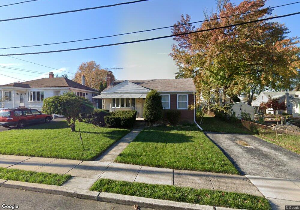
435 Gorsuch St Folsom, PA 19033
Estimated Value: $274,297 - $293,000
2
Beds
1
Bath
860
Sq Ft
$334/Sq Ft
Est. Value
About This Home
This home is located at 435 Gorsuch St, Folsom, PA 19033 and is currently estimated at $287,074, approximately $333 per square foot. 435 Gorsuch St is a home located in Delaware County with nearby schools including Edgewood Elementary School, Ridley Middle School, and Ridley High School.
Ownership History
Date
Name
Owned For
Owner Type
Purchase Details
Closed on
Dec 19, 2003
Sold by
Kramer Fred
Bought by
Bradley David M
Current Estimated Value
Home Financials for this Owner
Home Financials are based on the most recent Mortgage that was taken out on this home.
Original Mortgage
$112,000
Outstanding Balance
$52,370
Interest Rate
6.01%
Mortgage Type
Purchase Money Mortgage
Estimated Equity
$234,704
Purchase Details
Closed on
Aug 14, 2002
Sold by
Westenberger Helen L
Bought by
Kramer Fred
Create a Home Valuation Report for This Property
The Home Valuation Report is an in-depth analysis detailing your home's value as well as a comparison with similar homes in the area
Home Values in the Area
Average Home Value in this Area
Purchase History
| Date | Buyer | Sale Price | Title Company |
|---|---|---|---|
| Bradley David M | $140,000 | Commonwealth Title | |
| Kramer Fred | -- | -- |
Source: Public Records
Mortgage History
| Date | Status | Borrower | Loan Amount |
|---|---|---|---|
| Open | Bradley David M | $112,000 | |
| Closed | Bradley David M | $21,000 |
Source: Public Records
Tax History Compared to Growth
Tax History
| Year | Tax Paid | Tax Assessment Tax Assessment Total Assessment is a certain percentage of the fair market value that is determined by local assessors to be the total taxable value of land and additions on the property. | Land | Improvement |
|---|---|---|---|---|
| 2025 | $5,626 | $162,040 | $54,260 | $107,780 |
| 2024 | $5,626 | $162,040 | $54,260 | $107,780 |
| 2023 | $5,382 | $162,040 | $54,260 | $107,780 |
| 2022 | $5,209 | $162,040 | $54,260 | $107,780 |
| 2021 | $8,063 | $162,040 | $54,260 | $107,780 |
| 2020 | $5,125 | $90,730 | $32,570 | $58,160 |
| 2019 | $5,032 | $90,730 | $32,570 | $58,160 |
| 2018 | $4,969 | $90,730 | $0 | $0 |
| 2017 | $4,969 | $90,730 | $0 | $0 |
| 2016 | $498 | $90,730 | $0 | $0 |
| 2015 | $508 | $90,730 | $0 | $0 |
| 2014 | $498 | $90,730 | $0 | $0 |
Source: Public Records
Map
Nearby Homes
- 424 Broomall St
- 412 Gorsuch St
- 425 Broomall St
- 516 Edgewood Ave
- 505 Fernwood Ave
- 0 Gorsuch St
- 219 Willowbrook Ave
- 912 Edgewood Ave
- 222 Ridley Ave
- 225 Swarthmore Ave
- 1828 5th Ave
- 121 Swarthmore Ave
- 610 N Swarthmore Ave
- 411 Buse St
- 1226 Redwood Ave
- 507 Morton Ave
- 339 Sutton Ave
- 216-218 President Ave
- 147 Haverford Rd
- 234 Virginia Ave
- 429 Gorsuch St
- 447 Gorsuch St
- 434 Broomall St
- 430 Broomall St
- 426 Broomall St
- Lot 1 Haverford Rd
- 712 Haverford Rd
- 438 Broomall St
- 425 Gorsuch St
- 422 Broomall St
- 426 Gorsuch St
- 444 Broomall St
- 428 Gorsuch St
- 419 Gorsuch St
- 424 Gorsuch St
- 420 Broomall St
- 413 Edgewood Ave
- 418 Gorsuch St
- 414 Broomall St
- 429 Broomall St