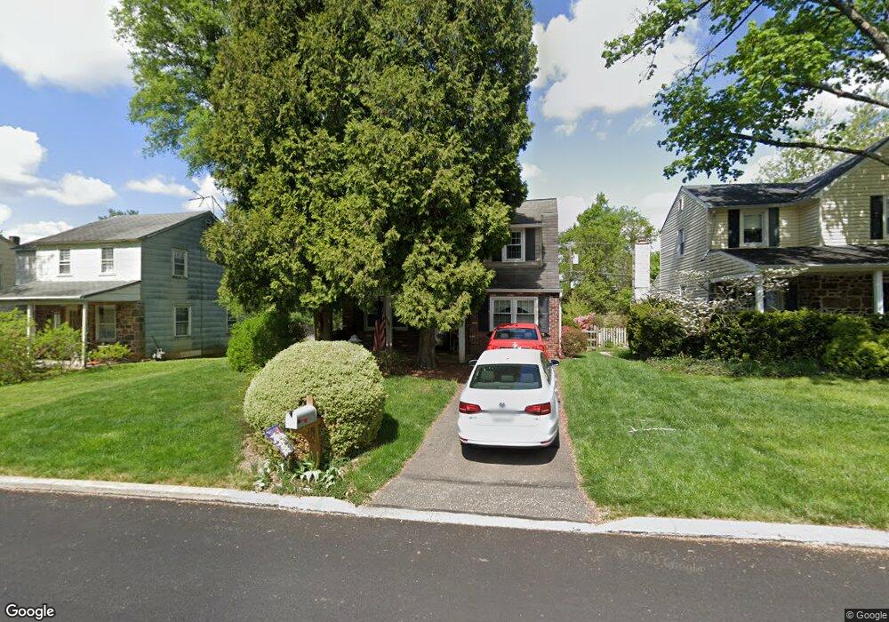
435 Hoover Rd Ambler, PA 19002
Estimated Value: $432,000 - $475,000
3
Beds
2
Baths
1,296
Sq Ft
$348/Sq Ft
Est. Value
About This Home
This home is located at 435 Hoover Rd, Ambler, PA 19002 and is currently estimated at $450,615, approximately $347 per square foot. 435 Hoover Rd is a home located in Montgomery County with nearby schools including Lower Gwynedd El School, Wissahickon Middle School, and Wissahickon Senior High School.
Ownership History
Date
Name
Owned For
Owner Type
Purchase Details
Closed on
Feb 28, 2024
Sold by
Auferoth John L and Auferoth Gail A
Bought by
John L Auferoth And Gail A Auferoth Family Tr and Auferoth
Current Estimated Value
Purchase Details
Closed on
Jun 26, 1987
Bought by
Auferoth John L and Auferoth Gail A
Create a Home Valuation Report for This Property
The Home Valuation Report is an in-depth analysis detailing your home's value as well as a comparison with similar homes in the area
Home Values in the Area
Average Home Value in this Area
Purchase History
| Date | Buyer | Sale Price | Title Company |
|---|---|---|---|
| John L Auferoth And Gail A Auferoth Family Tr | -- | None Listed On Document | |
| John L Auferoth And Gail A Auferoth Family Tr | -- | None Listed On Document | |
| Auferoth John L | $99,000 | -- |
Source: Public Records
Tax History Compared to Growth
Tax History
| Year | Tax Paid | Tax Assessment Tax Assessment Total Assessment is a certain percentage of the fair market value that is determined by local assessors to be the total taxable value of land and additions on the property. | Land | Improvement |
|---|---|---|---|---|
| 2025 | $3,475 | $116,700 | $37,770 | $78,930 |
| 2024 | $3,475 | $116,700 | $37,770 | $78,930 |
| 2023 | $3,303 | $116,700 | $37,770 | $78,930 |
| 2022 | $3,181 | $116,700 | $37,770 | $78,930 |
| 2021 | $3,077 | $116,700 | $37,770 | $78,930 |
| 2020 | $2,995 | $116,700 | $37,770 | $78,930 |
| 2019 | $2,928 | $116,700 | $37,770 | $78,930 |
| 2018 | $593 | $116,700 | $37,770 | $78,930 |
| 2017 | $2,785 | $116,700 | $37,770 | $78,930 |
| 2016 | $2,740 | $116,700 | $37,770 | $78,930 |
| 2015 | $2,604 | $116,700 | $37,770 | $78,930 |
| 2014 | $2,604 | $116,700 | $37,770 | $78,930 |
Source: Public Records
Map
Nearby Homes
- 716 Knight Rd
- 124 Macklenburg Dr
- 414 Brookside Ave
- 137 Stafford Dr Unit L 6F
- 442 Old Penllyn Pike
- 501 N Bethlehem Pike Unit 13B
- 501 N Bethlehem Pike Unit 12F
- 501 N Bethlehem Pike Unit 14P
- 280 N Main St
- 347 Old Penllyn Pike
- 157 Edgewood Dr
- 459 Edgewood Dr
- 294 Batleson Rd
- 221 Belmont Ave
- 829 Foxfield Rd
- Lot 3 Johns Ln
- 0 Johns Ln Unit BROOKSIDE ELITE
- 0 Johns Ln Unit EMERSON ELITE
- 117 Gillin Rd
- 770 Johns Ln
- 437 Hoover Rd
- 433 Hoover Rd
- 439 Hoover Rd Unit Full House
- 439 Hoover Rd
- 431 Hoover Rd
- 441 Hoover Rd
- 429 Hoover Rd
- 434 Hoover Rd
- 724 Buckley Cir
- 726 Buckley Cir
- 436 Hoover Rd
- 432 Hoover Rd
- 728 Buckley Cir
- 438 Hoover Rd
- 430 Hoover Rd
- 427 Hoover Rd
- 443 Hoover Rd
- 428 Hoover Rd
- 440 Hoover Rd
- 425 Hoover Rd