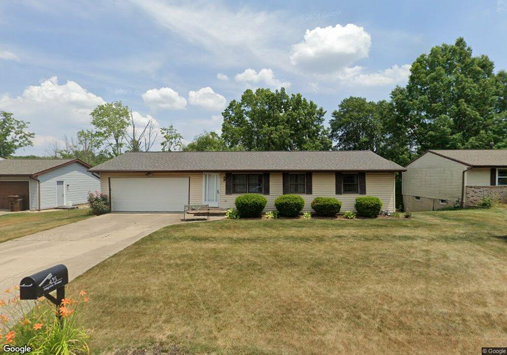
435 Longview Ave Canal Fulton, OH 44614
Estimated Value: $181,016 - $248,000
3
Beds
1
Bath
1,026
Sq Ft
$215/Sq Ft
Est. Value
About This Home
This home is located at 435 Longview Ave, Canal Fulton, OH 44614 and is currently estimated at $221,004, approximately $215 per square foot. 435 Longview Ave is a home located in Stark County with nearby schools including W.S. Stinson Elementary School, Northwest Primary School, and Northwest Middle School.
Ownership History
Date
Name
Owned For
Owner Type
Purchase Details
Closed on
Aug 27, 1997
Sold by
Smith Dennis J
Bought by
Manson Michele F
Current Estimated Value
Home Financials for this Owner
Home Financials are based on the most recent Mortgage that was taken out on this home.
Original Mortgage
$89,468
Outstanding Balance
$13,987
Interest Rate
7.57%
Mortgage Type
FHA
Estimated Equity
$207,017
Purchase Details
Closed on
Jan 29, 1993
Create a Home Valuation Report for This Property
The Home Valuation Report is an in-depth analysis detailing your home's value as well as a comparison with similar homes in the area
Home Values in the Area
Average Home Value in this Area
Purchase History
| Date | Buyer | Sale Price | Title Company |
|---|---|---|---|
| Manson Michele F | $89,900 | -- | |
| -- | $69,900 | -- |
Source: Public Records
Mortgage History
| Date | Status | Borrower | Loan Amount |
|---|---|---|---|
| Open | Manson Michele F | $89,468 |
Source: Public Records
Tax History Compared to Growth
Tax History
| Year | Tax Paid | Tax Assessment Tax Assessment Total Assessment is a certain percentage of the fair market value that is determined by local assessors to be the total taxable value of land and additions on the property. | Land | Improvement |
|---|---|---|---|---|
| 2025 | -- | $48,410 | $18,800 | $29,610 |
| 2024 | -- | $48,410 | $18,800 | $29,610 |
| 2023 | $2,157 | $45,120 | $12,670 | $32,450 |
| 2022 | $1,411 | $45,120 | $12,670 | $32,450 |
| 2021 | $1,415 | $45,120 | $12,670 | $32,450 |
| 2020 | $1,084 | $34,940 | $9,840 | $25,100 |
| 2019 | $1,097 | $34,940 | $9,840 | $25,100 |
| 2018 | $1,123 | $34,940 | $9,840 | $25,100 |
| 2017 | $1,460 | $31,790 | $8,790 | $23,000 |
| 2016 | $1,476 | $31,790 | $8,790 | $23,000 |
| 2015 | $1,602 | $35,180 | $8,790 | $26,390 |
| 2014 | $1,444 | $29,620 | $7,390 | $22,230 |
| 2013 | $729 | $29,620 | $7,390 | $22,230 |
Source: Public Records
Map
Nearby Homes
- 797 Goodland Cir NW
- 1808 Pauli St
- 539 E Lakewood Dr
- S/L 32 Lakewood Dr E
- S/L 27 Lakewood Dr E
- 542 E Lakewood Dr
- 537 E Lakewood Dr
- 837 Colonial Ave
- 752 Poplar St
- 912 Tamwood Dr
- 760 Longview Ave
- 786 Beverly Ave
- 768 Beverly Ave
- Ballenger w/ Basement Plan at Heritage Village
- Columbia w/ Basement Plan at Heritage Village
- Allegheny w/ Basement Plan at Heritage Village
- Hudson w/ Basement Plan at Heritage Village
- 156 Cherry St W
- 316 Locust St N
- 963 Saint Brendan Dr
- 443 Longview Ave
- 432 Longview Ave
- 440 Longview Ave
- 449 Longview Ave
- 428 Longview Ave
- 427 Longview Ave
- 450 Longview Ave
- 457 Longview Ave
- 1190 Locust St S
- 0 Locust St
- 1198 Locust St S
- 465 Longview Ave
- 460 Longview Ave
- 1206 Locust St S
- 475 Longview Ave
- 468 Longview Ave
- 1100 Locust St S
- 483 Longview Ave
- 451 Lakeview Dr
- 484 Longview Ave