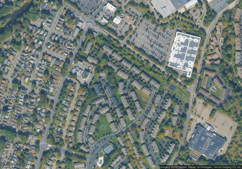
435 Manchester Dr Nutley, NJ 07110
Estimated Value: $682,000 - $693,700
--
Bed
--
Bath
2,010
Sq Ft
$342/Sq Ft
Est. Value
About This Home
This home is located at 435 Manchester Dr, Nutley, NJ 07110 and is currently estimated at $687,175, approximately $341 per square foot. 435 Manchester Dr is a home located in Essex County with nearby schools including Nutley High School, Abundant Life Academy, and St Clare Elementary School.
Ownership History
Date
Name
Owned For
Owner Type
Purchase Details
Closed on
Oct 5, 2001
Sold by
Town & Country Dev
Bought by
Lupinacci Anna
Current Estimated Value
Home Financials for this Owner
Home Financials are based on the most recent Mortgage that was taken out on this home.
Original Mortgage
$151,873
Outstanding Balance
$59,318
Interest Rate
6.86%
Estimated Equity
$627,857
Create a Home Valuation Report for This Property
The Home Valuation Report is an in-depth analysis detailing your home's value as well as a comparison with similar homes in the area
Home Values in the Area
Average Home Value in this Area
Purchase History
| Date | Buyer | Sale Price | Title Company |
|---|---|---|---|
| Lupinacci Anna | $251,873 | -- |
Source: Public Records
Mortgage History
| Date | Status | Borrower | Loan Amount |
|---|---|---|---|
| Open | Lupinacci Anna | $151,873 |
Source: Public Records
Tax History Compared to Growth
Tax History
| Year | Tax Paid | Tax Assessment Tax Assessment Total Assessment is a certain percentage of the fair market value that is determined by local assessors to be the total taxable value of land and additions on the property. | Land | Improvement |
|---|---|---|---|---|
| 2025 | $11,981 | $465,100 | $125,000 | $340,100 |
| 2024 | $11,981 | $465,100 | $125,000 | $340,100 |
| 2022 | $13,547 | $350,600 | $98,500 | $252,100 |
| 2021 | $13,477 | $350,600 | $98,500 | $252,100 |
| 2020 | $12,909 | $350,600 | $98,500 | $252,100 |
| 2019 | $12,650 | $350,600 | $98,500 | $252,100 |
| 2018 | $12,310 | $350,600 | $98,500 | $252,100 |
| 2017 | $12,176 | $350,600 | $98,500 | $252,100 |
| 2016 | $11,815 | $350,600 | $98,500 | $252,100 |
| 2015 | $11,626 | $350,600 | $98,500 | $252,100 |
| 2014 | $11,479 | $350,600 | $98,500 | $252,100 |
Source: Public Records
Map
Nearby Homes
- 509 Coventry Dr
- 545 Coventry Dr
- 595 Hartford Dr
- 458 River Rd Unit C
- 458 C River Rd Unit C
- 450 J River Rd
- 216 Stratford Dr
- 201 Regents Dr Unit 81
- 8 White Terrace
- 103 Rock Creek Dr
- 47 Myrtle Ave
- 18 Brookfield Ave
- 688 Passaic Ave
- 303 Washington Ave
- 237 Park Ave
- 205 Riverwalk Way
- 166 Riverwalk Way Unit G069
- 166 Riverwalk Way Unit 166
- 17 Princeton St
- 532 Passaic Ave
- 434 Manchester Dr Unit 105
- 436 Manchester Dr Unit 107
- 433 Manchester Dr Unit 104
- 432 Manchester Dr Unit 103
- 431 Manchester Dr
- 430 Manchester Dr
- 429 Manchester Dr Unit 100
- 434 Hartford Dr
- 435 Hartford Dr
- 433 Hartford Dr
- 436 Hartford Dr Unit 37
- 437 Hartford Dr Unit 38
- 438 Hartford Dr
- 439 Hartford Dr
- 428 Manchester Dr
- 335 Wilshire Dr Unit 44
- 335 Wilshire Dr Unit 3036
- 333 Wilshire Dr
- 440 Hartford Dr
- 334 Wilshire Dr Unit 43
