435 N Highway 25 Travelers Rest, SC 29690
Estimated Value: $323,000 - $547,628
4
Beds
2
Baths
2,357
Sq Ft
$180/Sq Ft
Est. Value
About This Home
This home is located at 435 N Highway 25, Travelers Rest, SC 29690 and is currently estimated at $423,209, approximately $179 per square foot. 435 N Highway 25 is a home with nearby schools including Gateway Elementary School, Northwest Middle School, and Travelers Rest High School.
Ownership History
Date
Name
Owned For
Owner Type
Purchase Details
Closed on
Dec 27, 2021
Sold by
Brashier Walter and T Walter Brashier Revocable Tr
Bought by
Stillwater Land Co Llc
Current Estimated Value
Purchase Details
Closed on
Aug 31, 2020
Sold by
Coleman Gregory Lewis and Davis Betty Coleman
Bought by
Brashier T Walter and T Walter Brashier Revocable Trust
Purchase Details
Closed on
Mar 22, 2018
Sold by
Coleman Gregory Kewis
Bought by
Patrick Coleman M Elizabeth
Create a Home Valuation Report for This Property
The Home Valuation Report is an in-depth analysis detailing your home's value as well as a comparison with similar homes in the area
Home Values in the Area
Average Home Value in this Area
Purchase History
| Date | Buyer | Sale Price | Title Company |
|---|---|---|---|
| Stillwater Land Co Llc | -- | None Available | |
| Brashier T Walter | $1,750,000 | None Available | |
| Patrick Coleman M Elizabeth | -- | None Available | |
| Coleman Gregory Lewis | -- | None Available |
Source: Public Records
Tax History Compared to Growth
Tax History
| Year | Tax Paid | Tax Assessment Tax Assessment Total Assessment is a certain percentage of the fair market value that is determined by local assessors to be the total taxable value of land and additions on the property. | Land | Improvement |
|---|---|---|---|---|
| 2024 | $5,232 | $14,160 | $6,020 | $8,140 |
| 2023 | $5,232 | $14,160 | $6,020 | $8,140 |
| 2022 | $5,019 | $14,160 | $6,020 | $8,140 |
| 2021 | $4,956 | $14,160 | $6,020 | $8,140 |
| 2020 | $4,857 | $13,080 | $5,370 | $7,710 |
| 2019 | $4,858 | $13,080 | $5,370 | $7,710 |
| 2018 | $4,696 | $13,080 | $5,370 | $7,710 |
| 2017 | $4,629 | $13,080 | $5,370 | $7,710 |
| 2016 | $4,459 | $218,120 | $89,550 | $128,570 |
| 2015 | $4,459 | $218,120 | $89,550 | $128,570 |
| 2014 | $3,901 | $192,427 | $68,666 | $123,761 |
Source: Public Records
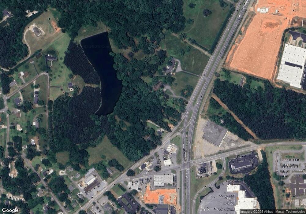
Map
Nearby Homes
- 3 Coleman Park Cir
- 000000 Tubbs Mountain Rd
- 00 Tigerville Rd Unit Tract 1B
- 0000000 Tubbs Mountain Rd
- 22 Gaskins Trail
- 35 Gaskins Trail
- 101 Gaskins Trail
- 104 Gaskins Trail
- Tract 1 Tigerville Rd
- 207 Forest Dr
- 201 Poplar St
- 129 Shager Place
- 0000 Forest Dr Unit 89,90
- 38 Cox St
- 11 Echo Dr
- 6 State Road S-23-948
- 19 Halowell Ln
- 400 Trillium Creek Ct
- 201 Tubbs Mountain Rd
- 101 Mountain Slope Ct
- 439 N Poinsett Hwy
- 431 N Poinsett Hwy
- 429 N Poinsett Hwy
- 1458 N Poinsett Hwy
- 441 N Poinsett Hwy
- 00 Hawkins Rd
- 3 Hawkins Rd
- 24 Kirby Dr
- 449 N Highway 25
- 415 N Poinsett Hwy
- 6 Coleman Park Cir
- 40 Kirby Dr
- 4 Peterson St
- 6 Peterson St
- 103 Coleman Park Cir
- 10 Coleman Park Cir
- Lot Mustang Dr
- 7 Peterson St
- 305 N Poinsett Hwy
- 7 Coleman Park Cir