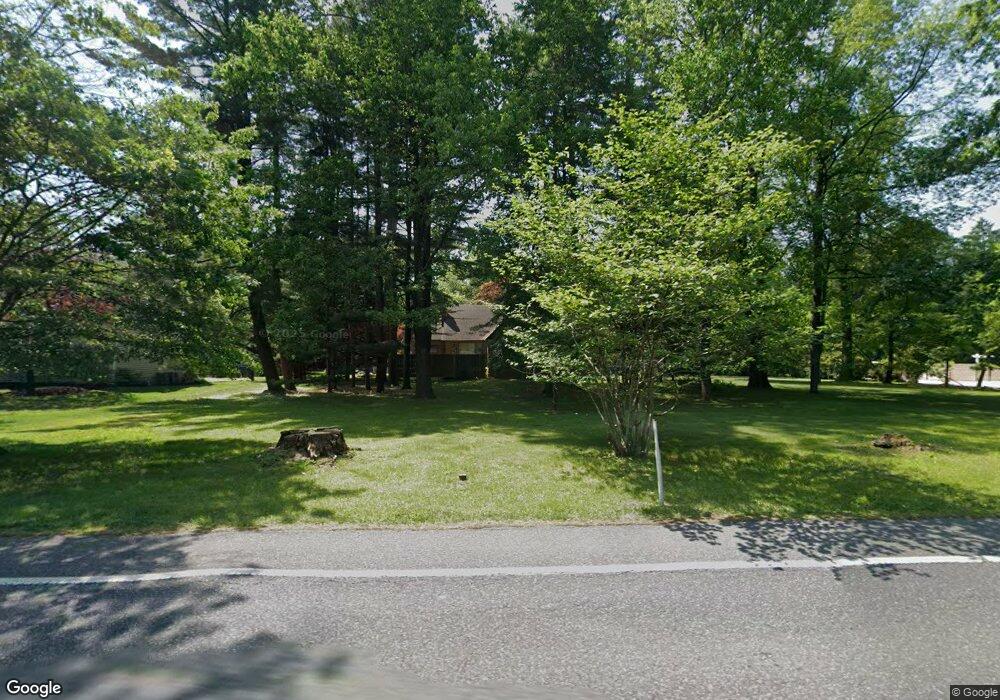
435 Norristown Rd Horsham, PA 19044
Estimated Value: $511,000 - $771,000
3
Beds
2
Baths
1,961
Sq Ft
$312/Sq Ft
Est. Value
About This Home
This home is located at 435 Norristown Rd, Horsham, PA 19044 and is currently estimated at $612,149, approximately $312 per square foot. 435 Norristown Rd is a home located in Montgomery County with nearby schools including Blair Mill Elementary School, Keith Valley Middle School, and Hatboro-Horsham Senior High School.
Ownership History
Date
Name
Owned For
Owner Type
Purchase Details
Closed on
Jun 9, 2025
Sold by
Winokur Robert M and Winokur Stephan T
Bought by
Winokur Stephan T and Winokur Michael D
Current Estimated Value
Purchase Details
Closed on
Jan 1, 1966
Bought by
Winokur Robert M and Winokur Paula
Create a Home Valuation Report for This Property
The Home Valuation Report is an in-depth analysis detailing your home's value as well as a comparison with similar homes in the area
Home Values in the Area
Average Home Value in this Area
Purchase History
| Date | Buyer | Sale Price | Title Company |
|---|---|---|---|
| Winokur Stephan T | -- | None Listed On Document | |
| Winokur Stephan T | -- | None Listed On Document | |
| Winokur Robert M | -- | -- |
Source: Public Records
Tax History Compared to Growth
Tax History
| Year | Tax Paid | Tax Assessment Tax Assessment Total Assessment is a certain percentage of the fair market value that is determined by local assessors to be the total taxable value of land and additions on the property. | Land | Improvement |
|---|---|---|---|---|
| 2025 | $9,349 | $237,820 | $141,240 | $96,580 |
| 2024 | $9,349 | $237,820 | $141,240 | $96,580 |
| 2023 | $8,899 | $237,820 | $141,240 | $96,580 |
| 2022 | $8,610 | $237,820 | $141,240 | $96,580 |
| 2021 | $8,406 | $237,820 | $141,240 | $96,580 |
| 2020 | $8,208 | $237,820 | $141,240 | $96,580 |
| 2019 | $8,050 | $237,820 | $141,240 | $96,580 |
| 2018 | $6,544 | $237,820 | $141,240 | $96,580 |
| 2017 | $7,690 | $237,820 | $141,240 | $96,580 |
| 2016 | $7,598 | $237,820 | $141,240 | $96,580 |
| 2015 | $7,256 | $237,820 | $141,240 | $96,580 |
| 2014 | $7,256 | $237,820 | $141,240 | $96,580 |
Source: Public Records
Map
Nearby Homes
- 2 Cedarbrook Dr
- 80 Whetstone Rd
- 124 Sarahs Ln
- 45 Ember Ln
- 4 Beaver Hill Rd
- 585 Colonial Dr
- 8 Barrel Stave Cir
- 45 Brookside Ct
- 44 Brookside Ct Unit 44
- 15 Barrel Stave Cir
- 603 Norristown Rd
- 3 Emily Ct
- 454 1/2 Avenue A Unit A
- 43 Black Watch Ct
- 6 Pheasant Run
- 18 Hunt Dr
- 890 Easton Rd
- 132 Hunt Dr
- 414 Watson Ave
- 204 Wilson Ave
- 439 Norristown Rd
- 00 Locust Ln
- 432 Norristown Rd
- 433 Norristown Rd
- 428 Norristown Rd
- 441 Norristown Rd
- 434 Norristown Rd
- 436 Norristown Rd
- 426 Norristown Rd
- 431 Norristown Rd
- 0 Locust Ln Unit 6663389
- 0 Locust Ln Unit 6347646
- 609 Eugenia Rd
- 473 Norristown Rd
- 438 Norristown Rd
- 424 Norristown Rd
- 624 Locust Ln
- 612 Eugenia Rd
- 475 Norristown Rd
- 471 Norristown Rd
