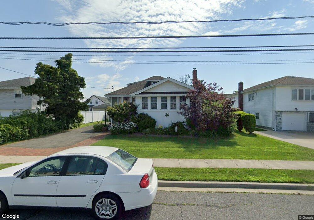
435 Roosevelt Ave Freeport, NY 11520
Estimated Value: $485,904 - $651,000
Studio
1
Bath
1,145
Sq Ft
$496/Sq Ft
Est. Value
About This Home
This home is located at 435 Roosevelt Ave, Freeport, NY 11520 and is currently estimated at $568,452, approximately $496 per square foot. 435 Roosevelt Ave is a home located in Nassau County with nearby schools including Columbus Avenue School, Caroline G. Atkinson Intermediate School, and John W Dodd Middle School.
Ownership History
Date
Name
Owned For
Owner Type
Purchase Details
Closed on
Sep 20, 1995
Sold by
Woromay Lawrence and Woromay Ida
Bought by
Bartley Raymond and Bartley Lorraine
Current Estimated Value
Home Financials for this Owner
Home Financials are based on the most recent Mortgage that was taken out on this home.
Original Mortgage
$121,500
Interest Rate
7.86%
Create a Home Valuation Report for This Property
The Home Valuation Report is an in-depth analysis detailing your home's value as well as a comparison with similar homes in the area
Home Values in the Area
Average Home Value in this Area
Purchase History
| Date | Buyer | Sale Price | Title Company |
|---|---|---|---|
| Bartley Raymond | $135,000 | -- |
Source: Public Records
Mortgage History
| Date | Status | Borrower | Loan Amount |
|---|---|---|---|
| Closed | Bartley Raymond | $121,500 |
Source: Public Records
Tax History
| Year | Tax Paid | Tax Assessment Tax Assessment Total Assessment is a certain percentage of the fair market value that is determined by local assessors to be the total taxable value of land and additions on the property. | Land | Improvement |
|---|---|---|---|---|
| 2025 | $1,156 | $350 | $179 | $171 |
| 2024 | $445 | $350 | $179 | $171 |
Source: Public Records
Map
Nearby Homes
- 470 Miller Ave
- 226 Westside Ave Unit B
- 292 Westside Ave
- 322 Miller Ave
- 744 S Long Beach Ave
- 310 Miller Ave
- 587 S Bayview Ave
- 160 Saint Marks Ave
- 300 Branch Ave
- 494 S Ocean Ave Unit 1M
- 494 S Ocean Ave Unit 1H
- 494 S Ocean Ave Unit 3A
- 711 S Bayview Ave
- 587 Miller Ave
- 572 S Bayview Ave
- 16 Layton St
- 51 Irving Ave
- 267 Roosevelt Ave
- 265 Roosevelt Ave
- 39 Layton St
- 445 Roosevelt Ave
- 429 Roosevelt Ave
- 620 S Long Beach Ave
- 449 Roosevelt Ave
- 628 S Long Beach Ave
- 598 S Long Beach Ave
- 438 Roosevelt Ave
- 448 Roosevelt Ave
- 428 Roosevelt Ave
- 456 Roosevelt Ave
- 455 Roosevelt Ave
- 636 S Long Beach Ave
- 415 Roosevelt Ave
- 430 Roosevelt Ave
- 588 S Long Beach Ave
- 424 Roosevelt Ave
- 479 Roosevelt Ave
- 644 S Long Beach Ave
- 619 S Long Beach Ave
- 403 Roosevelt Ave
Your Personal Tour Guide
Ask me questions while you tour the home.