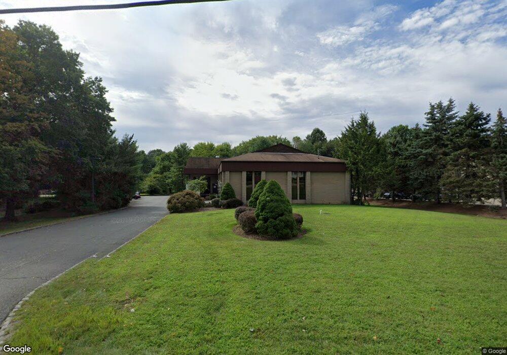
435 Route 202 Towaco, NJ 07082
Estimated Value: $1,395,462
--
Bed
--
Bath
10,836
Sq Ft
$129/Sq Ft
Est. Value
About This Home
This home is located at 435 Route 202, Towaco, NJ 07082 and is currently estimated at $1,395,462, approximately $128 per square foot. 435 Route 202 is a home located in Morris County with nearby schools including Montville Township High School, Apple Montessori School of Towaco, and Trinity Christian School.
Ownership History
Date
Name
Owned For
Owner Type
Purchase Details
Closed on
Nov 19, 2001
Sold by
Baumer Hans
Bought by
Transport Parts
Current Estimated Value
Home Financials for this Owner
Home Financials are based on the most recent Mortgage that was taken out on this home.
Original Mortgage
$480,000
Interest Rate
7.15%
Mortgage Type
Commercial
Create a Home Valuation Report for This Property
The Home Valuation Report is an in-depth analysis detailing your home's value as well as a comparison with similar homes in the area
Home Values in the Area
Average Home Value in this Area
Purchase History
| Date | Buyer | Sale Price | Title Company |
|---|---|---|---|
| Transport Parts | $600,000 | -- |
Source: Public Records
Mortgage History
| Date | Status | Borrower | Loan Amount |
|---|---|---|---|
| Previous Owner | Transport Parts | $480,000 |
Source: Public Records
Tax History Compared to Growth
Tax History
| Year | Tax Paid | Tax Assessment Tax Assessment Total Assessment is a certain percentage of the fair market value that is determined by local assessors to be the total taxable value of land and additions on the property. | Land | Improvement |
|---|---|---|---|---|
| 2025 | $26,837 | $1,005,500 | $350,000 | $655,500 |
| 2024 | $26,274 | $1,005,500 | $350,000 | $655,500 |
| 2023 | $26,274 | $1,005,500 | $350,000 | $655,500 |
| 2022 | $25,479 | $1,005,500 | $350,000 | $655,500 |
| 2021 | $25,479 | $1,005,500 | $350,000 | $655,500 |
| 2020 | $24,967 | $1,005,500 | $350,000 | $655,500 |
| 2019 | $24,464 | $1,005,500 | $350,000 | $655,500 |
| 2018 | $24,253 | $1,005,500 | $350,000 | $655,500 |
| 2017 | $23,639 | $1,005,500 | $350,000 | $655,500 |
| 2016 | $23,137 | $1,005,500 | $350,000 | $655,500 |
| 2015 | $22,765 | $1,005,500 | $350,000 | $655,500 |
| 2014 | $22,433 | $1,005,500 | $350,000 | $655,500 |
Source: Public Records
Map
Nearby Homes
- 7 Eagle Dr
- 1 Hilbert Ct
- 46 Heritage Ct
- 9 Ridge Dr
- 4 Rathbun Rd
- 5 Stony Brook
- 3 Stony Brook
- 29 Schneider Ln
- 42 Upper Mountain Ave
- 21 Doremus Dr
- 34 Kanouse Ln
- 12 Douglas Dr
- 73 Changebridge Rd
- 3 Toby Terrace
- 6 Fox Rd
- 18 Marguerite Ln
- 35 Passaic Valley Rd
- 3 Springbrook Rd E
- 71 Genoble Rd Unit 1
- 60 Passaic Valley Rd