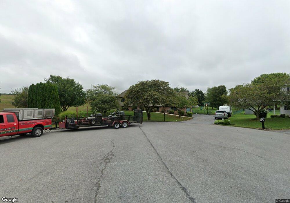
435 Tall Cedar Ln Greencastle, PA 17225
Estimated Value: $407,000 - $520,547
6
Beds
2
Baths
3,200
Sq Ft
$141/Sq Ft
Est. Value
About This Home
This home is located at 435 Tall Cedar Ln, Greencastle, PA 17225 and is currently estimated at $449,887, approximately $140 per square foot. 435 Tall Cedar Ln is a home located in Franklin County with nearby schools including Greencastle-Antrim Primary School, Greencastle-Antrim Elementary School, and Greencastle-Antrim Middle School.
Ownership History
Date
Name
Owned For
Owner Type
Purchase Details
Closed on
Sep 25, 2008
Sold by
Souders John R and Souders Elizabeth G
Bought by
Dean Brian D and Dean Jeanette L
Current Estimated Value
Home Financials for this Owner
Home Financials are based on the most recent Mortgage that was taken out on this home.
Original Mortgage
$269,324
Outstanding Balance
$179,095
Interest Rate
6.43%
Mortgage Type
New Conventional
Estimated Equity
$270,792
Create a Home Valuation Report for This Property
The Home Valuation Report is an in-depth analysis detailing your home's value as well as a comparison with similar homes in the area
Home Values in the Area
Average Home Value in this Area
Purchase History
| Date | Buyer | Sale Price | Title Company |
|---|---|---|---|
| Dean Brian D | $283,500 | None Available |
Source: Public Records
Mortgage History
| Date | Status | Borrower | Loan Amount |
|---|---|---|---|
| Open | Dean Brian D | $269,324 |
Source: Public Records
Tax History Compared to Growth
Tax History
| Year | Tax Paid | Tax Assessment Tax Assessment Total Assessment is a certain percentage of the fair market value that is determined by local assessors to be the total taxable value of land and additions on the property. | Land | Improvement |
|---|---|---|---|---|
| 2025 | $4,547 | $27,180 | $2,330 | $24,850 |
| 2024 | $4,125 | $27,180 | $2,330 | $24,850 |
| 2023 | $4,076 | $27,180 | $2,330 | $24,850 |
| 2022 | $4,076 | $27,180 | $2,330 | $24,850 |
| 2021 | $3,997 | $27,180 | $2,330 | $24,850 |
| 2020 | $3,893 | $27,180 | $2,330 | $24,850 |
| 2019 | $3,805 | $27,180 | $2,330 | $24,850 |
| 2018 | $3,764 | $27,180 | $2,330 | $24,850 |
| 2017 | $3,669 | $27,180 | $2,330 | $24,850 |
| 2016 | $779 | $27,180 | $2,330 | $24,850 |
| 2015 | $726 | $27,180 | $2,330 | $24,850 |
| 2014 | $726 | $27,180 | $2,330 | $24,850 |
Source: Public Records
Map
Nearby Homes
- 823 Buchanan Trail E
- 431 Leitersburg St
- 674 Lohman Ave
- 775 Lohman Ave
- 34.77 Acres Red Oak Estate S
- 271 E Baltimore St
- 0 Molly Pitcher Hwy Unit PAFL178468
- 0 Molly Pitcher Hwy Unit PAFL2030380
- 0 Molly Pitcher Hwy Unit PAFL178444
- 602 Brookview Dr
- 480 S Carlisle St
- 45 W Dahlgren St
- 231 N Allison St Unit 1
- 101 N Carlisle St
- 11498 Nicole Dr
- 148 N Carlisle St
- 1631 Buchanan Trail E
- 560 Meadowview Cir
- 763 Joy Dr
- 375 Carolle St
- 433 Tall Cedar Ln
- 11792 Waxwing Dr
- 11804 Waxwing Dr
- 11784 Waxwing Dr
- 440 Tall Cedar Ln
- 447 Tall Cedar Ln
- 11772 Waxwing Dr
- 444 Tall Cedar Ln
- 459 Tall Cedar Ln
- 11764 Waxwing Dr
- 452 Tall Cedar Ln
- 11828 Waxwing Dr
- 11795 Waxwing Dr
- 11787 Waxwing Dr
- 11817 Waxwing Dr
- 11775 Waxwing Dr
- 11756 Waxwing Dr
- 464 Tall Cedar Ln
- 11769 Waxwing Dr
- 509 Tall Cedar Ln