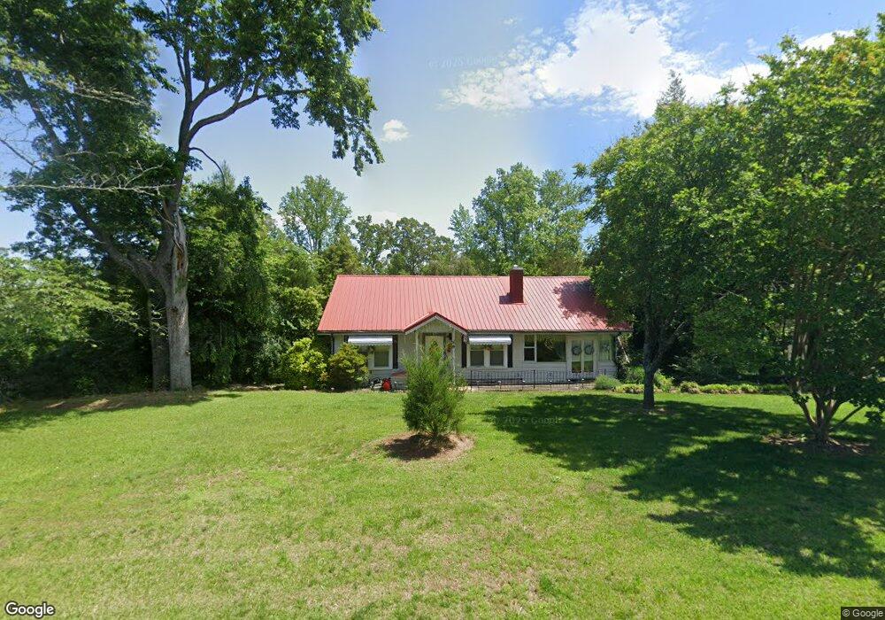
435 Us Highway 221a Forest City, NC 28043
Estimated Value: $230,000 - $334,000
3
Beds
2
Baths
2,244
Sq Ft
$120/Sq Ft
Est. Value
About This Home
This home is located at 435 Us Highway 221a, Forest City, NC 28043 and is currently estimated at $269,095, approximately $119 per square foot. 435 Us Highway 221a is a home with nearby schools including Forrest W. Hunt Elementary School, Chase Middle School, and Chase High School.
Ownership History
Date
Name
Owned For
Owner Type
Purchase Details
Closed on
Sep 17, 2008
Sold by
Moore Terry S and Long Moore Karen
Bought by
Moore Terry S and Long Moore Karen
Current Estimated Value
Purchase Details
Closed on
Nov 30, 2006
Sold by
Bowne George Oliver and Bowne Shirley B
Bought by
Moore Terry S
Home Financials for this Owner
Home Financials are based on the most recent Mortgage that was taken out on this home.
Original Mortgage
$179,162
Outstanding Balance
$107,236
Interest Rate
6.33%
Mortgage Type
FHA
Estimated Equity
$161,859
Create a Home Valuation Report for This Property
The Home Valuation Report is an in-depth analysis detailing your home's value as well as a comparison with similar homes in the area
Home Values in the Area
Average Home Value in this Area
Purchase History
| Date | Buyer | Sale Price | Title Company |
|---|---|---|---|
| Moore Terry S | -- | None Available | |
| Moore Terry S | $181,000 | None Avileble |
Source: Public Records
Mortgage History
| Date | Status | Borrower | Loan Amount |
|---|---|---|---|
| Open | Moore Terry S | $179,162 |
Source: Public Records
Tax History Compared to Growth
Tax History
| Year | Tax Paid | Tax Assessment Tax Assessment Total Assessment is a certain percentage of the fair market value that is determined by local assessors to be the total taxable value of land and additions on the property. | Land | Improvement |
|---|---|---|---|---|
| 2025 | $1,476 | $216,200 | $56,200 | $160,000 |
| 2024 | $1,408 | $216,200 | $56,200 | $160,000 |
| 2023 | $1,263 | $216,200 | $56,200 | $160,000 |
| 2022 | $1,263 | $154,500 | $56,200 | $98,300 |
| 2021 | $1,227 | $154,500 | $56,200 | $98,300 |
| 2020 | $1,196 | $154,500 | $56,200 | $98,300 |
| 2019 | $1,188 | $154,500 | $56,200 | $98,300 |
| 2018 | $874 | $106,600 | $45,700 | $60,900 |
| 2016 | $852 | $106,600 | $45,700 | $60,900 |
| 2013 | -- | $106,600 | $45,700 | $60,900 |
Source: Public Records
Map
Nearby Homes
- 617 Us 221a Hwy
- 183 Hollywood St
- 124 Maiden Ln
- 314 Phillips Dr
- 280 Harrill Dairy Rd
- 389 Harrill Dairy Rd
- 0 Kimbrell Ln
- 60 & 86 W Melissa Ln
- 00 Sunset Dr
- 150 Holland St
- 649 Harrill Dairy Rd
- 250 Circus Trail
- 131 Boxwood Ln
- 0 Hilltop Farm Ln
- 179 Sunnyside St
- 178 Star Trail Dr
- 170 Coventry Ln
- 451 Low Bridge Rd
- 443 Harmon St
- 187 Oakridge Dr
- 449 Us Highway 221a
- 181 Kings Dr
- 191 Kings Dr
- 407 Us Highway 221a
- 171 Kings Dr
- 113 Kings Dr
- 410 Us Highway 221a
- 161 Kings Dr
- 454 Us Highway 221a
- 000 Mt Pleasant Church Rd and 221
- 123 Windy Hill Dr
- 133 Kings Dr
- 190 Kings Dr
- 168 Kings Dr
- 112 Kings Dr
- 200 Kings Dr
- 139 Windy Hill Dr
- 160 Kings Dr
- 138 Windy Hill Dr
- 127 Mount Pleasant Church Rd