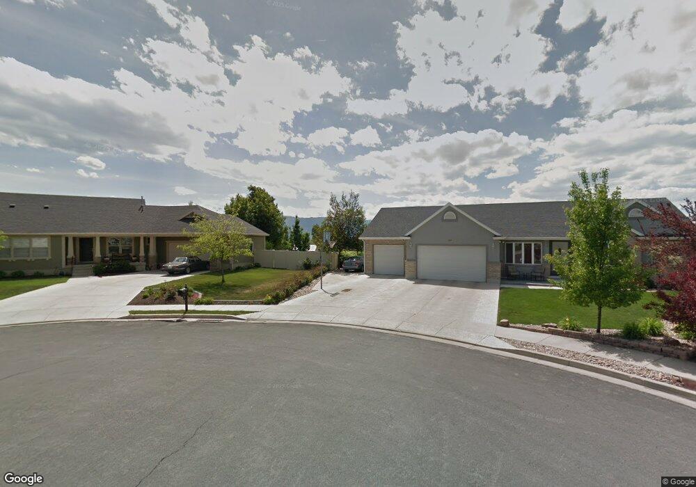
435 W 225 S Providence, UT 84332
Estimated Value: $470,000 - $519,000
3
Beds
3
Baths
2,294
Sq Ft
$216/Sq Ft
Est. Value
About This Home
This home is located at 435 W 225 S, Providence, UT 84332 and is currently estimated at $495,531, approximately $216 per square foot. 435 W 225 S is a home located in Cache County with nearby schools including River Heights School, Spring Creek Middle School, and South Cache Middle School.
Ownership History
Date
Name
Owned For
Owner Type
Purchase Details
Closed on
Jul 10, 2013
Sold by
Gunnell Scott S and Gunnell Desiree Lynn
Bought by
Johnson Joshua and Johnson Tara
Current Estimated Value
Home Financials for this Owner
Home Financials are based on the most recent Mortgage that was taken out on this home.
Original Mortgage
$150,400
Outstanding Balance
$108,403
Interest Rate
3.79%
Mortgage Type
New Conventional
Estimated Equity
$387,128
Purchase Details
Closed on
Jul 11, 2006
Sold by
Sampson Michael L and Sampson Marie P
Bought by
Gunnell Scott S and Gunnell Desiree Lynn
Home Financials for this Owner
Home Financials are based on the most recent Mortgage that was taken out on this home.
Original Mortgage
$163,000
Interest Rate
6.66%
Mortgage Type
New Conventional
Create a Home Valuation Report for This Property
The Home Valuation Report is an in-depth analysis detailing your home's value as well as a comparison with similar homes in the area
Home Values in the Area
Average Home Value in this Area
Purchase History
| Date | Buyer | Sale Price | Title Company |
|---|---|---|---|
| Johnson Joshua | -- | Northern Title Company | |
| Gunnell Scott S | -- | Cache Title Company |
Source: Public Records
Mortgage History
| Date | Status | Borrower | Loan Amount |
|---|---|---|---|
| Open | Johnson Joshua | $150,400 | |
| Previous Owner | Gunnell Scott S | $163,000 |
Source: Public Records
Tax History Compared to Growth
Tax History
| Year | Tax Paid | Tax Assessment Tax Assessment Total Assessment is a certain percentage of the fair market value that is determined by local assessors to be the total taxable value of land and additions on the property. | Land | Improvement |
|---|---|---|---|---|
| 2025 | $208 | $290,915 | $0 | $0 |
| 2024 | $2,235 | $291,490 | $0 | $0 |
| 2023 | $2,349 | $288,640 | $0 | $0 |
| 2022 | $218 | $252,890 | $0 | $0 |
| 2021 | $177 | $314,350 | $55,000 | $259,350 |
| 2020 | $1,510 | $249,051 | $55,000 | $194,051 |
| 2019 | $1,595 | $249,051 | $55,000 | $194,051 |
| 2018 | $1,403 | $223,740 | $55,000 | $168,740 |
| 2017 | $1,293 | $109,120 | $0 | $0 |
| 2016 | $1,307 | $109,120 | $0 | $0 |
| 2015 | $1,124 | $93,550 | $0 | $0 |
| 2014 | $1,096 | $93,550 | $0 | $0 |
| 2013 | -- | $93,550 | $0 | $0 |
Source: Public Records
Map
Nearby Homes