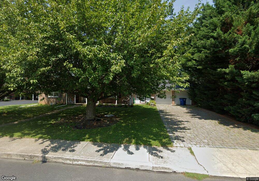
435 W Myrtle St Littlestown, PA 17340
Estimated Value: $253,000 - $294,449
3
Beds
2
Baths
1,290
Sq Ft
$207/Sq Ft
Est. Value
About This Home
This home is located at 435 W Myrtle St, Littlestown, PA 17340 and is currently estimated at $267,612, approximately $207 per square foot. 435 W Myrtle St is a home located in Adams County with nearby schools including Rolling Acres El School, Maple Avenue Middle School, and Littlestown Senior High School.
Ownership History
Date
Name
Owned For
Owner Type
Purchase Details
Closed on
Oct 6, 2009
Sold by
Conover Sharon S
Bought by
Eline Stephanie R
Current Estimated Value
Purchase Details
Closed on
Mar 31, 2006
Sold by
Shipley Vernon U and Shipley Viola M
Bought by
Conover Sharon S
Home Financials for this Owner
Home Financials are based on the most recent Mortgage that was taken out on this home.
Original Mortgage
$68,400
Interest Rate
6.28%
Mortgage Type
New Conventional
Create a Home Valuation Report for This Property
The Home Valuation Report is an in-depth analysis detailing your home's value as well as a comparison with similar homes in the area
Home Values in the Area
Average Home Value in this Area
Purchase History
| Date | Buyer | Sale Price | Title Company |
|---|---|---|---|
| Eline Stephanie R | -- | -- | |
| Conover Sharon S | -- | -- |
Source: Public Records
Mortgage History
| Date | Status | Borrower | Loan Amount |
|---|---|---|---|
| Previous Owner | Conover Sharon S | $68,400 |
Source: Public Records
Tax History Compared to Growth
Tax History
| Year | Tax Paid | Tax Assessment Tax Assessment Total Assessment is a certain percentage of the fair market value that is determined by local assessors to be the total taxable value of land and additions on the property. | Land | Improvement |
|---|---|---|---|---|
| 2025 | $3,678 | $160,000 | $37,000 | $123,000 |
| 2024 | $3,544 | $160,000 | $37,000 | $123,000 |
| 2023 | $3,407 | $160,000 | $37,000 | $123,000 |
| 2022 | $3,386 | $160,000 | $37,000 | $123,000 |
| 2021 | $3,286 | $160,000 | $37,000 | $123,000 |
| 2020 | $3,247 | $160,000 | $37,000 | $123,000 |
| 2019 | $3,150 | $160,000 | $37,000 | $123,000 |
| 2018 | $3,092 | $160,000 | $37,000 | $123,000 |
| 2017 | $3,013 | $160,000 | $37,000 | $123,000 |
| 2016 | -- | $160,000 | $37,000 | $123,000 |
| 2015 | -- | $160,000 | $37,000 | $123,000 |
| 2014 | -- | $160,000 | $37,000 | $123,000 |
Source: Public Records
Map
Nearby Homes
- 22 Rita Marie Ave
- 140 Apple Grove Ln Unit 425
- 161 Stoners Cir
- 440 N Queen St
- 117 Charles St
- 115 Charles St
- 22 Cemetery St
- 58 Windsor Ct
- 1024 Frederick Pike Unit 6
- 61 E King St
- 106 E King St
- 241 M St
- 20c Locust Dr
- 0 Locust Dr Unit PAAD2015910
- 162 Newark St
- 15 Yorktowne Ct Unit 97
- 41 Smith Cir
- 535 Lumber St
- 559 Lumber St
- 567 Lumber St
- 445 W Myrtle St
- 149 Westminster Ave
- 203 Westminster Ave
- 403 W Myrtle St
- 105 Colorado Ave Unit 1
- 109 Colorado Ave Unit 2
- 117 Colorado Ave Unit 3
- 434 W Myrtle St
- 402 W Myrtle St
- 49 Columbus Ave
- 503 W Myrtle St
- 121 Colorado Ave Unit 4
- 48 Delaware Ave
- 345 W Myrtle St
- 45 Columbus Ave
- 45 Stedtle Ave
- 509 W Myrtle St
- 112 Colorado Ave Unit 97
- 50 Columbus Ave
- 125 Colorado Ave Unit 5