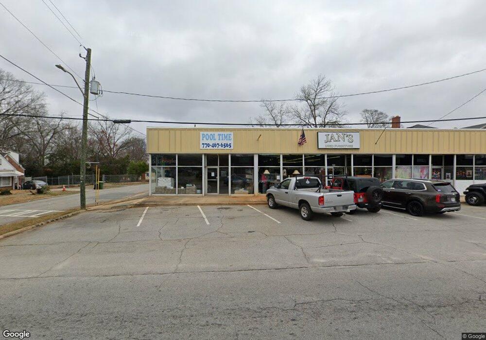
435 W Solomon St Griffin, GA 30223
Spalding County NeighborhoodEstimated Value: $398,873
--
Bed
--
Bath
7,308
Sq Ft
$55/Sq Ft
Est. Value
About This Home
This home is located at 435 W Solomon St, Griffin, GA 30223 and is currently estimated at $398,873, approximately $54 per square foot. 435 W Solomon St is a home located in Spalding County with nearby schools including Anne Street Elementary School, Rehoboth Road Middle School, and Griffin High School.
Ownership History
Date
Name
Owned For
Owner Type
Purchase Details
Closed on
Jul 18, 2024
Sold by
Lao Nhi Tu
Bought by
Krish Investment Group Inc
Current Estimated Value
Purchase Details
Closed on
Jan 15, 2008
Sold by
Tran Sinh
Bought by
Tran Sinh H and Lao Nhi
Purchase Details
Closed on
Dec 30, 1983
Sold by
Whatley Dollie B Etal
Bought by
Whatley Darrell E and Whatley Barry L
Purchase Details
Closed on
May 1, 1974
Sold by
Singeltary Horace K and Whatley Edwin L
Bought by
Whatley Dollin B
Purchase Details
Closed on
Aug 8, 1961
Bought by
Singeltary Horace K and Whatley Edwin
Create a Home Valuation Report for This Property
The Home Valuation Report is an in-depth analysis detailing your home's value as well as a comparison with similar homes in the area
Home Values in the Area
Average Home Value in this Area
Purchase History
| Date | Buyer | Sale Price | Title Company |
|---|---|---|---|
| Krish Investment Group Inc | $395,000 | -- | |
| Tran Sinh H | -- | -- | |
| Tran Sinh | $305,000 | -- | |
| Whatley Darrell E | -- | -- | |
| Whatley Dollin B | $110,600 | -- | |
| Singeltary Horace K | -- | -- |
Source: Public Records
Tax History Compared to Growth
Tax History
| Year | Tax Paid | Tax Assessment Tax Assessment Total Assessment is a certain percentage of the fair market value that is determined by local assessors to be the total taxable value of land and additions on the property. | Land | Improvement |
|---|---|---|---|---|
| 2024 | $6,097 | $159,672 | $17,400 | $142,272 |
| 2023 | $6,097 | $147,950 | $17,400 | $130,550 |
| 2022 | $3,992 | $99,897 | $17,400 | $82,497 |
| 2021 | $4,506 | $112,760 | $17,400 | $95,360 |
| 2020 | $4,506 | $112,760 | $17,400 | $95,360 |
| 2019 | $4,589 | $112,760 | $17,400 | $95,360 |
| 2018 | $4,763 | $112,760 | $17,400 | $95,360 |
| 2017 | $4,661 | $112,760 | $17,400 | $95,360 |
| 2016 | $4,736 | $112,760 | $17,400 | $95,360 |
| 2015 | $4,814 | $112,760 | $17,400 | $95,360 |
| 2014 | $4,959 | $112,760 | $17,400 | $95,360 |
Source: Public Records
Map
Nearby Homes
- 733 W Broad St
- 321 N 10th St
- 218 W Central Ave
- 333 N 10th St
- 711 W Broad St
- 320 S 12th St
- 108 N 14th St
- 737 W Solomon St
- 325 W Quilly St
- 411 Palace St
- 822 W Solomon St
- 215 W Chappell St
- 221 N 14th St
- 525 W Quilly St
- 102 N Hill St Unit 304
- 102 N Hill St Unit 303
- 332 N 14th St
- 200 AC W Ellis Rd
- 312.37 AC W Ellis Rd
- 418 N 9th St
- N N 11th St Unit TR 2
- N N 11th St
- 503 W Solomon St
- 427 W Solomon St
- 502 W Solomon St
- 120 N 11th St
- 421 W Solomon St
- 115 N 11th St
- 433 W Solomon St
- 504 W Solomon St
- 128 N 11th St
- 127 N 11th St
- 127 N 11th St 2 House Package
- 415 W Wall St
- 521 W Solomon St
- 129 N 11th St
- 522 W Solomon St
- 409 W Wall St
- 105 S 11th St
- 426 W Broad St