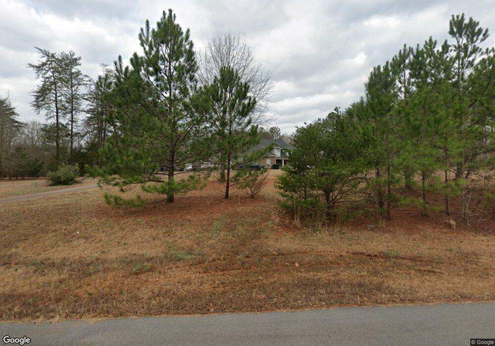
435 Walthall Rd Jackson, GA 30233
Worthville NeighborhoodEstimated Value: $275,000 - $489,000
4
Beds
3
Baths
2,400
Sq Ft
$174/Sq Ft
Est. Value
About This Home
This home is located at 435 Walthall Rd, Jackson, GA 30233 and is currently estimated at $418,098, approximately $174 per square foot. 435 Walthall Rd is a home located in Butts County with nearby schools including Jackson High School.
Ownership History
Date
Name
Owned For
Owner Type
Purchase Details
Closed on
Jun 16, 2011
Sold by
Federal National Mortgage Association
Bought by
Gafford Steven L
Current Estimated Value
Home Financials for this Owner
Home Financials are based on the most recent Mortgage that was taken out on this home.
Original Mortgage
$153,200
Outstanding Balance
$104,467
Interest Rate
4.63%
Mortgage Type
New Conventional
Estimated Equity
$313,631
Purchase Details
Closed on
Mar 10, 2005
Sold by
Manaircon Inc
Bought by
Smith Betty G
Create a Home Valuation Report for This Property
The Home Valuation Report is an in-depth analysis detailing your home's value as well as a comparison with similar homes in the area
Home Values in the Area
Average Home Value in this Area
Purchase History
| Date | Buyer | Sale Price | Title Company |
|---|---|---|---|
| Gafford Steven L | $191,500 | -- | |
| Smith Betty G | $348,890 | -- |
Source: Public Records
Mortgage History
| Date | Status | Borrower | Loan Amount |
|---|---|---|---|
| Open | Gafford Steven L | $153,200 |
Source: Public Records
Tax History
| Year | Tax Paid | Tax Assessment Tax Assessment Total Assessment is a certain percentage of the fair market value that is determined by local assessors to be the total taxable value of land and additions on the property. | Land | Improvement |
|---|---|---|---|---|
| 2025 | $3,067 | $143,164 | $15,186 | $127,978 |
| 2024 | $3,067 | $143,164 | $15,186 | $127,978 |
| 2023 | $3,219 | $147,134 | $18,262 | $128,872 |
| 2022 | $3,391 | $134,737 | $14,292 | $120,445 |
| 2021 | $3,632 | $134,736 | $14,292 | $120,444 |
| 2020 | $3,769 | $134,737 | $14,292 | $120,445 |
| 2019 | $4,009 | $139,435 | $14,292 | $125,143 |
| 2018 | $2,916 | $95,827 | $14,292 | $81,535 |
| 2017 | $2,655 | $85,706 | $14,292 | $71,414 |
| 2016 | $2,723 | $85,707 | $14,293 | $71,414 |
| 2015 | $2,848 | $85,707 | $14,293 | $71,414 |
| 2014 | $2,888 | $85,707 | $14,293 | $71,414 |
Source: Public Records
Map
Nearby Homes
- 242 Katy Lake Rd
- 234 Peoples Rd
- 294 Old S River Rd
- LOT 184 Southern Shores Rd
- 292 Old South River Rd
- 0 Southern Shores Rd Unit 182005
- 180 Southern Shores Rd
- 0 Parker Rd Unit 10548997
- 40 Pine Shadow Cir
- 126 Elizabeth Cir
- 0 Walthall Rd Unit 10674788
- 139 Cherokee Dr
- 0 Apache Dr Unit RTC3043137
- 0 Apache Dr Unit 1523744
- 139 Old South River Rd
- 273 S River Dr
- 0 S River Dr Unit 7644682
- 00 Cherokee Dr
- 191 Cherokee Dr
- 199 Cherokee Dr
- 431 Walthall Rd
- 432 Walthall Rd
- 440 Walthall Rd
- 0 Whathal Rd Unit 7150225
- 446 Walthall Rd
- 489 Walthall Rd
- 421 Walthall Rd
- 418 Walthall Rd
- 424 Walthall Rd
- 505 Walthall Rd
- 478 Walthall Rd
- 492 Walthall Rd
- 494 Walthall Rd
- 412 Walthall Rd
- 411 Walthall Rd
- 133 Katy Lake Rd
- 405 Walthall Rd
- 121 Katy Lake Rd
- 264 Katy Lake Rd
- 145 Katy Lake Rd
Your Personal Tour Guide
Ask me questions while you tour the home.