435 Wexford Overlook Dr Roswell, GA 30075
Wexford NeighborhoodEstimated Value: $627,000 - $727,000
4
Beds
4
Baths
2,445
Sq Ft
$281/Sq Ft
Est. Value
About This Home
This home is located at 435 Wexford Overlook Dr, Roswell, GA 30075 and is currently estimated at $686,802, approximately $280 per square foot. 435 Wexford Overlook Dr is a home located in Fulton County with nearby schools including Sweet Apple Elementary School, Elkins Pointe Middle School, and Fulton Academy of Science and Technology.
Ownership History
Date
Name
Owned For
Owner Type
Purchase Details
Closed on
Jul 24, 1995
Sold by
Amico Richard J Beatriz D
Bought by
Gant Andrew P Marie C
Current Estimated Value
Purchase Details
Closed on
May 7, 1993
Sold by
Casey S P Const Inc
Bought by
Amico Richard J Beatriz D
Home Financials for this Owner
Home Financials are based on the most recent Mortgage that was taken out on this home.
Original Mortgage
$182,400
Interest Rate
7.45%
Create a Home Valuation Report for This Property
The Home Valuation Report is an in-depth analysis detailing your home's value as well as a comparison with similar homes in the area
Home Values in the Area
Average Home Value in this Area
Purchase History
| Date | Buyer | Sale Price | Title Company |
|---|---|---|---|
| Gant Andrew P Marie C | $220,000 | -- | |
| Amico Richard J Beatriz D | $192,600 | -- |
Source: Public Records
Mortgage History
| Date | Status | Borrower | Loan Amount |
|---|---|---|---|
| Previous Owner | Amico Richard J Beatriz D | $182,400 | |
| Closed | Gant Andrew P Marie C | $0 |
Source: Public Records
Tax History Compared to Growth
Tax History
| Year | Tax Paid | Tax Assessment Tax Assessment Total Assessment is a certain percentage of the fair market value that is determined by local assessors to be the total taxable value of land and additions on the property. | Land | Improvement |
|---|---|---|---|---|
| 2025 | $787 | $217,960 | $74,440 | $143,520 |
| 2023 | $6,080 | $215,400 | $71,200 | $144,200 |
| 2022 | $3,571 | $178,080 | $41,600 | $136,480 |
| 2021 | $634 | $149,280 | $33,920 | $115,360 |
| 2020 | $4,197 | $150,680 | $39,160 | $111,520 |
| 2019 | $651 | $152,880 | $40,440 | $112,440 |
| 2018 | $3,873 | $149,320 | $39,520 | $109,800 |
| 2017 | $3,295 | $124,880 | $27,960 | $96,920 |
| 2016 | $3,246 | $124,880 | $27,960 | $96,920 |
| 2015 | $3,939 | $124,880 | $27,960 | $96,920 |
| 2014 | $2,748 | $102,400 | $23,120 | $79,280 |
Source: Public Records
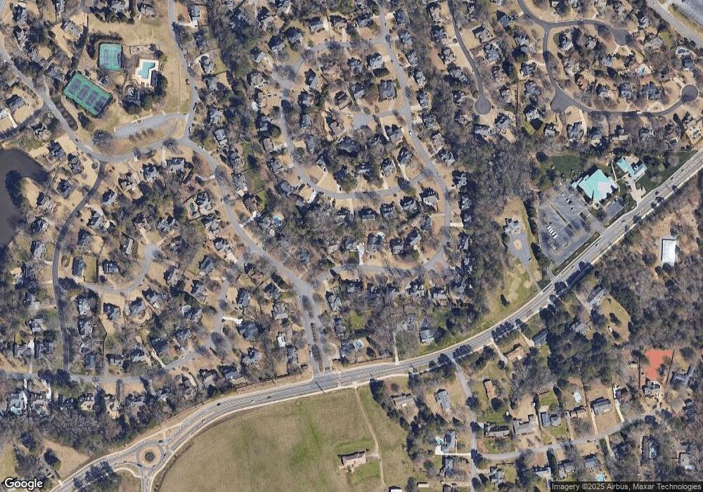
Map
Nearby Homes
- 11850 Chaffin Rd
- 125 Fortuna Ct
- 345 Chaffin Ridge Ct
- 515 Kent Rd
- 105 Kensington Pond Ct
- 680 Brookfield Pkwy Unit 1
- 2230 Ashton Dr
- 4404 Orchard Trace
- 600 Rounsaville Rd
- 870 Hickory Oak Hollow
- 406 Sweet Apple Cir
- 1115 Primrose Dr
- 570 Wheatridge Bluff
- 640 Mae Ln
- 530 Camber Woods Dr
- 565 Camber Woods Dr
- 290 Rucker Rd
- 865 Ferncroft Ct
- 425 Wexford Overlook Dr
- 540 Estate Club Cir
- 530 Estate Club Cir
- 550 Estate Club Cir
- 415 Wexford Overlook Dr
- 440 Wexford Overlook Dr
- 520 Estate Club Cir
- 11895 Wexford Club Dr
- 430 Wexford Overlook Dr
- 11875 Wexford Club Dr
- 420 Wexford Overlook Dr
- 405 Wexford Overlook Dr Unit III
- 11905 Wexford Club Dr
- 510 Estate Club Cir
- 560 Estate Club Cir
- 535 Estate Club Cir
- 525 Estate Club Cir
- 410 Wexford Overlook Dr
- 395 Wexford Overlook Dr
- 395 Wexford Overlook Dr Unit 359/360