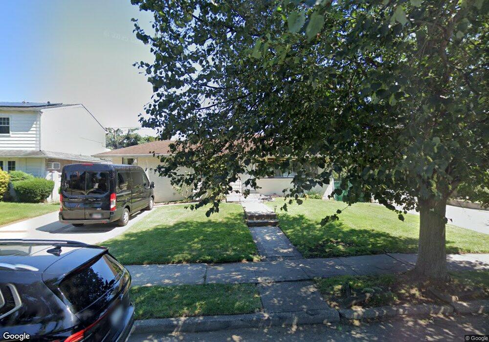
435 Whittier Ave Levittown, NY 11756
Estimated Value: $629,000 - $730,650
3
Beds
1
Bath
1,156
Sq Ft
$588/Sq Ft
Est. Value
About This Home
This home is located at 435 Whittier Ave, Levittown, NY 11756 and is currently estimated at $679,825, approximately $588 per square foot. 435 Whittier Ave is a home located in Nassau County with nearby schools including Michael F. Stokes Elementary School, J Fred Sparke Elementary School, and Island Trees Middle School.
Ownership History
Date
Name
Owned For
Owner Type
Purchase Details
Closed on
Jan 5, 2017
Sold by
Brunette Raymond D and Brunette Patricia
Bought by
Garcia Anthony
Current Estimated Value
Home Financials for this Owner
Home Financials are based on the most recent Mortgage that was taken out on this home.
Original Mortgage
$245,000
Outstanding Balance
$201,960
Interest Rate
4.13%
Mortgage Type
New Conventional
Estimated Equity
$477,865
Create a Home Valuation Report for This Property
The Home Valuation Report is an in-depth analysis detailing your home's value as well as a comparison with similar homes in the area
Home Values in the Area
Average Home Value in this Area
Purchase History
| Date | Buyer | Sale Price | Title Company |
|---|---|---|---|
| Garcia Anthony | $385,000 | Millennium Abstract Corp |
Source: Public Records
Mortgage History
| Date | Status | Borrower | Loan Amount |
|---|---|---|---|
| Open | Garcia Anthony | $245,000 |
Source: Public Records
Tax History Compared to Growth
Tax History
| Year | Tax Paid | Tax Assessment Tax Assessment Total Assessment is a certain percentage of the fair market value that is determined by local assessors to be the total taxable value of land and additions on the property. | Land | Improvement |
|---|---|---|---|---|
| 2025 | $9,805 | $422 | $228 | $194 |
| 2024 | $3,172 | $448 | $242 | $206 |
| 2023 | $9,156 | $424 | $229 | $195 |
| 2022 | $9,156 | $448 | $242 | $206 |
| 2021 | $13,002 | $427 | $231 | $196 |
| 2020 | $8,990 | $513 | $445 | $68 |
| 2019 | $8,215 | $513 | $417 | $96 |
| 2018 | $8,207 | $547 | $0 | $0 |
| 2017 | $2,571 | $581 | $420 | $161 |
| 2016 | $4,959 | $615 | $415 | $200 |
| 2015 | $2,481 | $649 | $438 | $211 |
| 2014 | $2,481 | $649 | $438 | $211 |
| 2013 | $2,366 | $660 | $445 | $215 |
Source: Public Records
Map
Nearby Homes
- 441 Whittier Ave
- 429 Whittier Ave
- 447 Whittier Ave
- 423 Whittier Ave
- 430 Whittier Ave
- 410 Mansfield Ave
- 454 Coleridge St
- 453 Whittier Ave
- 417 Whittier Ave
- 3847 Kingsberry Rd
- 428 Ferris Rd
- 411 Mansfield Ave
- 422 Ferris Rd
- 420 Mansfield Ave
- 459 Whittier Ave
- 411 Whittier Ave
- 444 Coleridge St
- 3846 Kingsberry Rd
- 453 Coleridge St
- 416 Ferris Rd