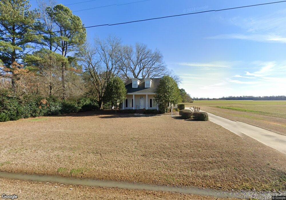
435 Wire Rd Bunnlevel, NC 28323
Estimated Value: $149,000 - $218,000
2
Beds
2
Baths
1,033
Sq Ft
$184/Sq Ft
Est. Value
About This Home
This home is located at 435 Wire Rd, Bunnlevel, NC 28323 and is currently estimated at $190,001, approximately $183 per square foot. 435 Wire Rd is a home located in Harnett County with nearby schools including Lillington-Shawtown Elementary School, Harnett Central Middle School, and Harnett Central High School.
Ownership History
Date
Name
Owned For
Owner Type
Purchase Details
Closed on
May 6, 2008
Sold by
Holliday Lee D and Holliday Sonja Hellen
Bought by
Bethune Jonathan
Current Estimated Value
Home Financials for this Owner
Home Financials are based on the most recent Mortgage that was taken out on this home.
Original Mortgage
$158,000
Interest Rate
5.82%
Mortgage Type
Future Advance Clause Open End Mortgage
Purchase Details
Closed on
Jul 30, 2003
Bought by
Bethune Jonathan R
Create a Home Valuation Report for This Property
The Home Valuation Report is an in-depth analysis detailing your home's value as well as a comparison with similar homes in the area
Home Values in the Area
Average Home Value in this Area
Purchase History
| Date | Buyer | Sale Price | Title Company |
|---|---|---|---|
| Bethune Jonathan | $161,500 | -- | |
| Bethune Jonathan R | -- | -- |
Source: Public Records
Mortgage History
| Date | Status | Borrower | Loan Amount |
|---|---|---|---|
| Closed | Bethune Jonathan | $158,000 |
Source: Public Records
Tax History
| Year | Tax Paid | Tax Assessment Tax Assessment Total Assessment is a certain percentage of the fair market value that is determined by local assessors to be the total taxable value of land and additions on the property. | Land | Improvement |
|---|---|---|---|---|
| 2025 | $1,086 | $142,797 | $0 | $0 |
| 2024 | $1,072 | $142,797 | $0 | $0 |
| 2023 | $1,072 | $142,797 | $0 | $0 |
| 2022 | $871 | $142,797 | $0 | $0 |
| 2021 | $871 | $92,510 | $0 | $0 |
| 2020 | $871 | $92,510 | $0 | $0 |
| 2019 | $856 | $92,510 | $0 | $0 |
| 2018 | $856 | $92,510 | $0 | $0 |
| 2017 | $838 | $92,510 | $0 | $0 |
| 2016 | $883 | $97,960 | $0 | $0 |
| 2015 | $883 | $97,960 | $0 | $0 |
| 2014 | $883 | $97,960 | $0 | $0 |
Source: Public Records
Map
Nearby Homes
- 6200 U S 401
- 3792 McNeill Hobbs Rd
- 7111 U S 401
- 444 Sanderfer Rd
- 0 Sanderfer Rd Unit 10126922
- 2044 Wire Rd
- 0 Wire Rd
- 2727 Wire Rd
- 1271 Nutgrass Rd
- 2470 Wire Rd
- 1925 Bunnlevel Erwin Rd
- 1333 Bunnlevel Erwin Rd
- 1655 Bunnlevel Erwin Rd
- 2915 McLean Chapel Church Rd
- 155 Nectar Ln
- 175 Nectar Ln
- 191 Nectar Ln
- 209 Nectar Ln
- 0000 Covington Rd
- 2527 Joel Johnson Rd
- 415 Wire Rd
- 486 Wire Rd
- 499 Wire Rd
- 327 Wire Rd
- 299 Wire Rd
- 621 Wire Rd
- 655 Wire Rd
- 416 Wire Rd
- 734 Wire Rd
- 880 Wire Rd
- 4668 McNeill Hobbs Rd
- 1060 McLean Chapel Church Rd
- Lot 2 Us 401 Hwy
- 2 Us 401 S
- 4381 McNeill Hobbs Rd
- 6374 Us 401 S
- 4746 McNeill Hobbs Rd
- 120 Church Circle Ln
- 6242 Us 401 Hwy
- 225 H and L Dr
Your Personal Tour Guide
Ask me questions while you tour the home.