4350 Agard St Cumming, GA 30040
Estimated Value: $667,543 - $739,000
4
Beds
3
Baths
2,966
Sq Ft
$235/Sq Ft
Est. Value
About This Home
This home is located at 4350 Agard St, Cumming, GA 30040 and is currently estimated at $697,886, approximately $235 per square foot. 4350 Agard St is a home located in Forsyth County with nearby schools including Kelly Mill Elementary School, West Forsyth High School, and Montessori School of Cumming.
Ownership History
Date
Name
Owned For
Owner Type
Purchase Details
Closed on
Aug 15, 2008
Sold by
Brady Daniel J
Bought by
Brady Daniel J and Brady Micaela A
Current Estimated Value
Home Financials for this Owner
Home Financials are based on the most recent Mortgage that was taken out on this home.
Original Mortgage
$271,813
Interest Rate
6.45%
Mortgage Type
New Conventional
Create a Home Valuation Report for This Property
The Home Valuation Report is an in-depth analysis detailing your home's value as well as a comparison with similar homes in the area
Home Values in the Area
Average Home Value in this Area
Purchase History
| Date | Buyer | Sale Price | Title Company |
|---|---|---|---|
| Brady Daniel J | -- | -- | |
| Brady Daniel J | $339,800 | -- |
Source: Public Records
Mortgage History
| Date | Status | Borrower | Loan Amount |
|---|---|---|---|
| Previous Owner | Brady Daniel J | $271,813 |
Source: Public Records
Tax History Compared to Growth
Tax History
| Year | Tax Paid | Tax Assessment Tax Assessment Total Assessment is a certain percentage of the fair market value that is determined by local assessors to be the total taxable value of land and additions on the property. | Land | Improvement |
|---|---|---|---|---|
| 2025 | $5,183 | $265,988 | $66,000 | $199,988 |
| 2024 | $5,183 | $252,608 | $66,000 | $186,608 |
| 2023 | $4,693 | $243,692 | $62,000 | $181,692 |
| 2022 | $4,638 | $165,576 | $36,000 | $129,576 |
| 2021 | $4,207 | $165,576 | $36,000 | $129,576 |
| 2020 | $4,061 | $158,480 | $36,000 | $122,480 |
| 2019 | $3,962 | $153,384 | $32,000 | $121,384 |
| 2018 | $4,017 | $155,408 | $32,000 | $123,408 |
| 2017 | $3,841 | $146,344 | $32,000 | $114,344 |
| 2016 | $3,600 | $134,944 | $28,000 | $106,944 |
| 2015 | $3,539 | $131,744 | $28,000 | $103,744 |
| 2014 | -- | $114,732 | $20,000 | $94,732 |
Source: Public Records
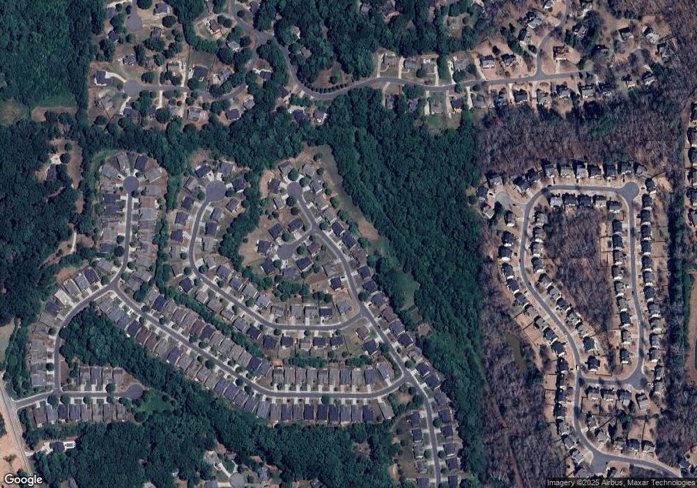
Map
Nearby Homes
- 4605 Ansley Ln
- 4430 Cadmium Dr
- 4605 Vanadium Bend
- 5325 Southern Oak Ct
- Woodward Plan at Arden
- Riverton Plan at Arden
- Continental Plan at Arden
- 5430 Hyde Rd
- 4040 Yakutia Place
- 3852 Drew Campground Rd
- 4435 Manor Creek Dr
- 4595 Carriage Walk Ln
- 3595 Davyne Bend
- 3735 Fedorite Walk
- 4395 St Andrews Crest Dr
- 4395 Saint Andrews Crest Dr
- 5525 Tallantworth Trail
- 4815 Amble Trace
- 4220 Provenance Trail
- 4210 Provenance Trail
- 4360 Agard St Unit 688
- 4360 Agard St
- 4340 Agard St
- 4410 Agard St
- 4330 Agard St
- 4405 Canebridge Ln
- 4420 Agard St
- 4345 Agard St
- 4320 Agard St
- 4325 Agard St
- 4415 Canebridge Ln
- 4430 Agard St
- 4410 Canebridge Ln
- 4310 Agard St
- 4310 Colchester Creek Dr
- 3420 Colchester Creek Dr
- 4425 Canebridge Ln
- 4320 Colchester Creek Dr
- 4250 Agard St
- 4420 Canebridge Ln