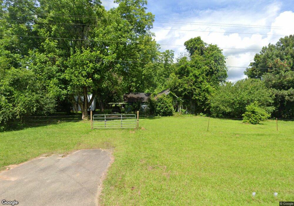
4350 Highway 77 N Union Point, GA 30669
Estimated Value: $173,000 - $227,690
--
Bed
1
Bath
1,220
Sq Ft
$158/Sq Ft
Est. Value
About This Home
This home is located at 4350 Highway 77 N, Union Point, GA 30669 and is currently estimated at $193,173, approximately $158 per square foot. 4350 Highway 77 N is a home located in Greene County with nearby schools including Greene County High School.
Ownership History
Date
Name
Owned For
Owner Type
Purchase Details
Closed on
Sep 28, 1994
Sold by
Erskene Marilyn
Bought by
Steele Tracy L
Current Estimated Value
Purchase Details
Closed on
Jan 3, 1986
Sold by
Erskene Marilyn S
Bought by
Erskene Marilyn
Purchase Details
Closed on
Jan 2, 1986
Sold by
Steele Edward and Steele Erskene,Marilyn
Bought by
Erskene Marilyn S
Purchase Details
Closed on
Jan 1, 1986
Sold by
Steele Gladys E
Bought by
Steele Edward and Steele Erskene,Marilyn
Purchase Details
Closed on
Jan 1, 1950
Bought by
Steele L E
Create a Home Valuation Report for This Property
The Home Valuation Report is an in-depth analysis detailing your home's value as well as a comparison with similar homes in the area
Home Values in the Area
Average Home Value in this Area
Purchase History
| Date | Buyer | Sale Price | Title Company |
|---|---|---|---|
| Steele Tracy L | $25,900 | -- | |
| Erskene Marilyn | -- | -- | |
| Erskene Marilyn S | -- | -- | |
| Steele Edward | -- | -- | |
| Steele Gladys E | -- | -- | |
| Steele L E | -- | -- |
Source: Public Records
Tax History Compared to Growth
Tax History
| Year | Tax Paid | Tax Assessment Tax Assessment Total Assessment is a certain percentage of the fair market value that is determined by local assessors to be the total taxable value of land and additions on the property. | Land | Improvement |
|---|---|---|---|---|
| 2024 | $1,166 | $57,520 | $51,320 | $6,200 |
| 2023 | $959 | $45,120 | $38,800 | $6,320 |
| 2022 | $797 | $34,400 | $29,840 | $4,560 |
| 2021 | $826 | $33,920 | $29,840 | $4,080 |
| 2020 | $863 | $32,720 | $26,480 | $6,240 |
| 2019 | $880 | $32,720 | $26,480 | $6,240 |
| 2018 | $859 | $32,720 | $26,480 | $6,240 |
| 2017 | $813 | $32,758 | $26,494 | $6,264 |
| 2016 | $813 | $32,758 | $26,494 | $6,264 |
| 2015 | $789 | $32,757 | $26,494 | $6,264 |
| 2014 | $782 | $32,292 | $26,494 | $5,799 |
Source: Public Records
Map
Nearby Homes
- 3434 Union Point Rd
- 0 Dogwood Rd
- 1211 Peachtree Ave W
- 1110 Woodland Way
- 1110 Woodland Ln
- 2972 Union Point Rd
- 0 Bryant Rd
- 0 Bryant Rd Unit 23479766
- 5011 Penfield Rd
- 4911 Penfield Rd
- 1251 Adams Rd
- 0 Mcwhorter Rd Unit 24225988
- 290 Poplar Creek Rd
- 95 Walker Gresham Rd
- 0 Sims Cross Rd Unit CL335330
- 3021 Penfield Rd
- 0 Washington Hwy Unit 7276060
- 1860 Washington Hwy
- 119 Sims Cross Rd
- 324 N Rhodes St
- 4350 Highway 77 N
- 4430 Highway 77 N
- 4470 Highway 77 N
- 4460 Highway 77 N
- 1041 Community Dr
- 1060 Community Dr
- 1061 Community Dr
- 4470 Hwy 77n
- 4520 Highway 77 N
- 1121 Community Dr
- 1131 Community Dr
- 1332 Community Dr
- 0 Community Dr Unit 50601
- 0 Community Dr Unit 10351833
- 0 Community Dr Unit 66757
- 0 Community Dr
- 1171 Community Dr
- 3434 Union Point Rd Unit 3434 Union Point Roa
- 1372 Community Dr
- 1322 Community Dr