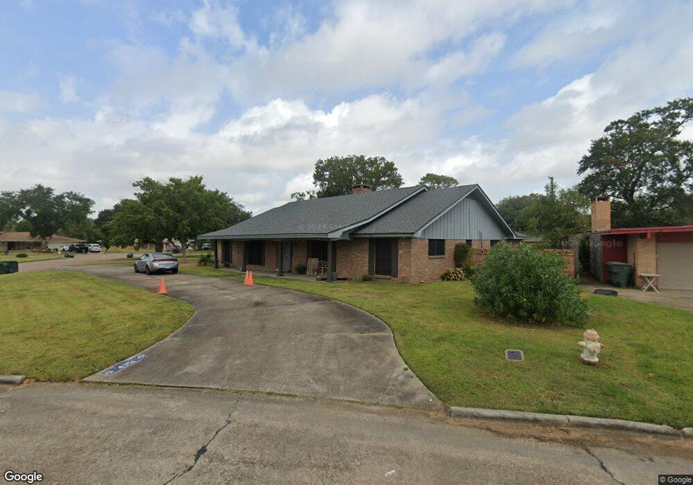
4351 Big Bend Ave Port Arthur, TX 77642
Estimated Value: $205,000 - $248,520
--
Bed
--
Bath
2,726
Sq Ft
$86/Sq Ft
Est. Value
About This Home
This home is located at 4351 Big Bend Ave, Port Arthur, TX 77642 and is currently estimated at $233,130, approximately $85 per square foot. 4351 Big Bend Ave is a home located in Jefferson County with nearby schools including Houston Elementary School, Abraham Lincoln Middle School, and Memorial High School.
Ownership History
Date
Name
Owned For
Owner Type
Purchase Details
Closed on
Jun 29, 2006
Sold by
Bonham Candace Matlock and Bonham David B
Bought by
Clark Lois
Current Estimated Value
Home Financials for this Owner
Home Financials are based on the most recent Mortgage that was taken out on this home.
Original Mortgage
$116,100
Outstanding Balance
$80,855
Interest Rate
10.05%
Mortgage Type
Purchase Money Mortgage
Estimated Equity
$152,275
Purchase Details
Closed on
Jan 24, 2002
Sold by
Irwin Robert B and Estate Of Norma Provost Irwin
Bought by
Bonham Candace Matlock
Create a Home Valuation Report for This Property
The Home Valuation Report is an in-depth analysis detailing your home's value as well as a comparison with similar homes in the area
Home Values in the Area
Average Home Value in this Area
Purchase History
| Date | Buyer | Sale Price | Title Company |
|---|---|---|---|
| Clark Lois | -- | None Available | |
| Bonham Candace Matlock | -- | -- |
Source: Public Records
Mortgage History
| Date | Status | Borrower | Loan Amount |
|---|---|---|---|
| Open | Clark Lois | $116,100 |
Source: Public Records
Tax History Compared to Growth
Tax History
| Year | Tax Paid | Tax Assessment Tax Assessment Total Assessment is a certain percentage of the fair market value that is determined by local assessors to be the total taxable value of land and additions on the property. | Land | Improvement |
|---|---|---|---|---|
| 2025 | $1,574 | $229,953 | -- | -- |
| 2024 | $1,574 | $209,048 | -- | -- |
| 2023 | $1,574 | $190,044 | $0 | $0 |
| 2022 | $5,487 | $172,767 | $0 | $0 |
| 2021 | $5,205 | $228,298 | $14,258 | $214,040 |
| 2020 | $2,413 | $142,783 | $14,258 | $128,525 |
| 2019 | $4,551 | $142,790 | $14,260 | $128,530 |
| 2018 | $2,529 | $153,500 | $14,260 | $139,240 |
| 2017 | $2,469 | $153,500 | $14,260 | $139,240 |
| 2016 | $4,454 | $152,040 | $14,260 | $137,780 |
| 2015 | $2,609 | $152,040 | $14,260 | $137,780 |
| 2014 | $2,609 | $152,040 | $14,260 | $137,780 |
Source: Public Records
Map
Nearby Homes
- 4011 Everglades Ave
- 425 Rachel Ave
- 3639 41st St
- 3801 7th Ave
- 3807 Platt Ave
- 2715 35th St
- 3425 Memorial Blvd
- 2630 34th St
- 3200 4th Ave
- 4200 Lexington Ave
- 3721 Avalon Ave
- 3500 32nd St
- 3124 30th St
- 3836 Lexington Ave
- 3208 29th St
- 3812 30th St
- 4034 32nd St
- 4433 & 4435 Neches Ave
- 3015 25th St
- 3930 Touraine Ave
- 4300 Everglades Ave
- 4330 Bryce Ave
- 3101 42nd St
- 4241 Everglades Ave
- 4355 Big Bend Ave
- 4350 Big Bend Ave
- 4360 Bryce Ave
- 4232 Everglades Ave
- 4359 Bryce Ave
- 4233 Everglades Ave
- 3105 42nd St
- 4340 Big Bend Ave
- 4365 Bryce Ave
- 4224 Everglades Ave
- 4349 Big Bend Ave
- 4225 Everglades Ave
- 4229 Lansing Ave
- 4341 Big Bend Ave
- 4232 Philmont Ave
- 4400 Bryce Ave