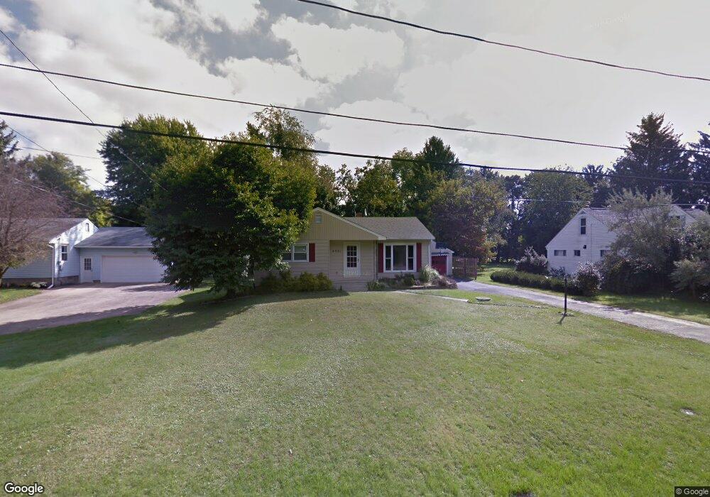
4351 Laburnum Dr Painesville, OH 44077
Estimated Value: $187,133 - $197,000
2
Beds
1
Bath
1,074
Sq Ft
$177/Sq Ft
Est. Value
About This Home
This home is located at 4351 Laburnum Dr, Painesville, OH 44077 and is currently estimated at $190,033, approximately $176 per square foot. 4351 Laburnum Dr is a home located in Lake County with nearby schools including Perry Middle School, Perry High School, and Summit Academy Community School - Painesville.
Ownership History
Date
Name
Owned For
Owner Type
Purchase Details
Closed on
Jul 9, 2007
Sold by
Smith John C
Bought by
Tanner Dawne
Current Estimated Value
Home Financials for this Owner
Home Financials are based on the most recent Mortgage that was taken out on this home.
Original Mortgage
$19,350
Outstanding Balance
$12,120
Interest Rate
6.54%
Mortgage Type
Credit Line Revolving
Estimated Equity
$177,913
Purchase Details
Closed on
Oct 5, 1999
Sold by
Fee Donald D and Fee Jean E
Bought by
Smith John C
Home Financials for this Owner
Home Financials are based on the most recent Mortgage that was taken out on this home.
Original Mortgage
$98,686
Interest Rate
7.83%
Mortgage Type
FHA
Purchase Details
Closed on
Nov 13, 1989
Bought by
Fee Donald D
Create a Home Valuation Report for This Property
The Home Valuation Report is an in-depth analysis detailing your home's value as well as a comparison with similar homes in the area
Home Values in the Area
Average Home Value in this Area
Purchase History
| Date | Buyer | Sale Price | Title Company |
|---|---|---|---|
| Tanner Dawne | $129,000 | Accent Ohio Land Title | |
| Smith John C | $99,500 | House Of Title Agency Inc, T | |
| Fee Donald D | -- | -- |
Source: Public Records
Mortgage History
| Date | Status | Borrower | Loan Amount |
|---|---|---|---|
| Open | Tanner Dawne | $19,350 | |
| Open | Tanner Dawne | $103,200 | |
| Previous Owner | Smith John C | $98,686 |
Source: Public Records
Tax History Compared to Growth
Tax History
| Year | Tax Paid | Tax Assessment Tax Assessment Total Assessment is a certain percentage of the fair market value that is determined by local assessors to be the total taxable value of land and additions on the property. | Land | Improvement |
|---|---|---|---|---|
| 2024 | -- | $52,550 | $12,400 | $40,150 |
| 2023 | $3,534 | $40,920 | $10,760 | $30,160 |
| 2022 | $1,952 | $40,920 | $10,760 | $30,160 |
| 2021 | $1,833 | $40,920 | $10,760 | $30,160 |
| 2020 | $1,634 | $32,740 | $8,610 | $24,130 |
| 2019 | $1,635 | $32,740 | $8,610 | $24,130 |
| 2018 | $1,639 | $33,280 | $9,990 | $23,290 |
| 2017 | $1,653 | $33,280 | $9,990 | $23,290 |
| 2016 | $1,643 | $33,280 | $9,990 | $23,290 |
| 2015 | $1,594 | $33,280 | $9,990 | $23,290 |
| 2014 | $1,564 | $33,280 | $9,990 | $23,290 |
| 2013 | $1,563 | $33,280 | $9,990 | $23,290 |
Source: Public Records
Map
Nearby Homes
- 4505 Lane Rd
- 4300 Florida St
- 108 Birch Dr
- 3147 Maine Ave
- 269 Hale Rd
- 3158 Narrows Rd
- 525 Morgan Dr
- 808 N Creek Dr
- 500 Park Rd
- 1787 Muirfield Ln
- 634 N Creek Dr
- 720 N Creek Dr
- V/L Morgan Dr
- 1978 Marsh Ln Unit 1978
- 1809 Muirfield Ln
- 396 Park Rd
- 1865 Marsh Ln Unit 1865
- 0 N Ridge Rd Unit 5110949
- 1788 Kirtstone Terrace
- 43 Bristol Ave
- 4359 Laburnum Dr
- 4329 Laburnum Dr
- 2731 Larchview Dr
- 2729 Larchview Dr
- 4346 Laburnum Dr
- 2741 Larchview Dr
- 2707 Larchview Dr
- 4319 Laburnum Dr
- 2690 Norway Dr
- 2685 Larchview Dr
- 4311 Laburnum Dr
- 4378 Lane Rd
- 4320 Laburnum Dr
- 4332 Lane Rd
- 2684 Norway Dr
- 2661 Larchview Dr
- 4385 Lane Rd
- 4400 Lane Rd
- 2730 Larchview Dr
- 2683 Larchview Dr