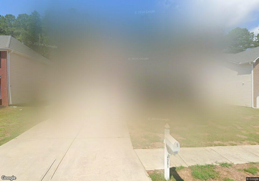
4351 Shamrock Dr Atlanta, GA 30349
Estimated Value: $372,855 - $485,000
5
Beds
11
Baths
4,515
Sq Ft
$94/Sq Ft
Est. Value
About This Home
This home is located at 4351 Shamrock Dr, Atlanta, GA 30349 and is currently estimated at $424,714, approximately $94 per square foot. 4351 Shamrock Dr is a home located in Fulton County with nearby schools including Wolf Creek Elementary, Renaissance Middle School, and Langston Hughes High School.
Ownership History
Date
Name
Owned For
Owner Type
Purchase Details
Closed on
Feb 5, 2024
Sold by
Miles Tyler T
Bought by
Miles Living Trust and Miles Tyler Tr
Current Estimated Value
Purchase Details
Closed on
Nov 22, 2019
Sold by
Miles Tyler
Bought by
Miles Tyler T
Home Financials for this Owner
Home Financials are based on the most recent Mortgage that was taken out on this home.
Original Mortgage
$166,307
Interest Rate
3.75%
Mortgage Type
FHA
Purchase Details
Closed on
Apr 17, 2008
Sold by
Silver Creek Communities Inc
Bought by
Miles Tyler
Home Financials for this Owner
Home Financials are based on the most recent Mortgage that was taken out on this home.
Original Mortgage
$221,965
Interest Rate
5.84%
Mortgage Type
FHA
Create a Home Valuation Report for This Property
The Home Valuation Report is an in-depth analysis detailing your home's value as well as a comparison with similar homes in the area
Home Values in the Area
Average Home Value in this Area
Purchase History
| Date | Buyer | Sale Price | Title Company |
|---|---|---|---|
| Miles Living Trust | -- | -- | |
| Miles Tyler T | -- | -- | |
| Miles Tyler | $225,500 | -- |
Source: Public Records
Mortgage History
| Date | Status | Borrower | Loan Amount |
|---|---|---|---|
| Previous Owner | Miles Tyler T | $166,307 | |
| Previous Owner | Miles Tyler | $221,965 |
Source: Public Records
Tax History Compared to Growth
Tax History
| Year | Tax Paid | Tax Assessment Tax Assessment Total Assessment is a certain percentage of the fair market value that is determined by local assessors to be the total taxable value of land and additions on the property. | Land | Improvement |
|---|---|---|---|---|
| 2025 | $2,459 | $117,280 | $20,840 | $96,440 |
| 2023 | $3,241 | $114,840 | $19,720 | $95,120 |
| 2022 | $2,319 | $114,840 | $19,720 | $95,120 |
| 2021 | $2,282 | $111,480 | $19,160 | $92,320 |
| 2020 | $2,287 | $110,160 | $18,920 | $91,240 |
| 2019 | $2,411 | $96,160 | $19,320 | $76,840 |
| 2018 | $2,772 | $86,960 | $11,920 | $75,040 |
| 2017 | $2,330 | $74,240 | $9,920 | $64,320 |
| 2016 | $2,328 | $74,240 | $9,920 | $64,320 |
| 2015 | $2,336 | $74,240 | $9,920 | $64,320 |
| 2014 | $2,437 | $74,240 | $9,920 | $64,320 |
Source: Public Records
Map
Nearby Homes
- 4327 Shamrock Dr
- 4189 Post Oak Grove
- 4185 Post Oak Grove
- 4270 Holliday Rd
- 6292 Dekeon Dr
- 6474 E Stubbs Rd
- 4369 Estate St
- 4247 Butternut Place
- 6639 Overlook Ridge
- 4224 Butternut Place
- 6390 E Stubbs Rd
- 6684 Crane Ave
- 6476 Snowden Dr
- 0 Derrick Rd SE Unit 10621019
- 0 Derrick Rd SE Unit 22713952
- 4140 Butternut Place
- 0 Jones Rd Unit 10486732
- 0 Jones Rd Unit 7548174
- 6640 E Stubbs Rd
- 6300 E Stubbs Rd
- 4347 Shamrock Dr
- 4355 Shamrock Dr
- 4343 Shamrock Dr
- 4359 Shamrock Dr
- 4352 Shamrock Dr
- 4352 Shamrock Dr Unit 13
- 4339 Shamrock Dr
- 4367 Shamrock Dr
- 4356 Shamrock Dr
- 4360 Shamrock Dr
- 4335 Shamrock Dr Unit 63
- 4335 Shamrock Dr
- 4371 Shamrock Dr
- 4364 Shamrock Dr
- 6430 Jones Rd
- 6420 Jones Rd
- 00 Shamrock Dr
- 0000 Shamrock Dr
- 4331 Shamrock Dr
- 6440 Jones Rd Unit 1