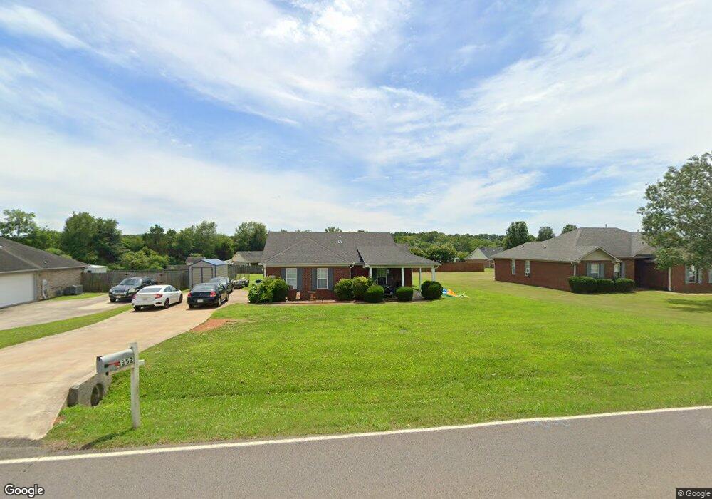
4352 Maysville Rd NE Huntsville, AL 35811
Estimated Value: $225,358 - $261,000
3
Beds
2
Baths
1,262
Sq Ft
$193/Sq Ft
Est. Value
About This Home
This home is located at 4352 Maysville Rd NE, Huntsville, AL 35811 and is currently estimated at $243,340, approximately $192 per square foot. 4352 Maysville Rd NE is a home located in Madison County with nearby schools including Riverton Elementary School, Riverton Intermediate School, and Buckhorn Middle School.
Ownership History
Date
Name
Owned For
Owner Type
Purchase Details
Closed on
Sep 8, 2006
Sold by
Keeton Danielle K and Keeton Walter H
Bought by
Easterling Jason
Current Estimated Value
Home Financials for this Owner
Home Financials are based on the most recent Mortgage that was taken out on this home.
Original Mortgage
$86,800
Outstanding Balance
$52,127
Interest Rate
6.67%
Mortgage Type
New Conventional
Estimated Equity
$191,213
Purchase Details
Closed on
Dec 20, 2005
Sold by
Bradford Jason Giles and Bradford Jennifer Wenslow
Bought by
Keeton Danielle K and Keeton Walter H
Home Financials for this Owner
Home Financials are based on the most recent Mortgage that was taken out on this home.
Original Mortgage
$105,102
Interest Rate
6.29%
Mortgage Type
New Conventional
Create a Home Valuation Report for This Property
The Home Valuation Report is an in-depth analysis detailing your home's value as well as a comparison with similar homes in the area
Home Values in the Area
Average Home Value in this Area
Purchase History
| Date | Buyer | Sale Price | Title Company |
|---|---|---|---|
| Easterling Jason | -- | -- | |
| Keeton Danielle K | -- | -- |
Source: Public Records
Mortgage History
| Date | Status | Borrower | Loan Amount |
|---|---|---|---|
| Open | Easterling Jason | $86,800 | |
| Previous Owner | Keeton Danielle K | $105,102 |
Source: Public Records
Tax History Compared to Growth
Tax History
| Year | Tax Paid | Tax Assessment Tax Assessment Total Assessment is a certain percentage of the fair market value that is determined by local assessors to be the total taxable value of land and additions on the property. | Land | Improvement |
|---|---|---|---|---|
| 2024 | $526 | $15,840 | $1,500 | $14,340 |
| 2023 | $526 | $15,180 | $1,500 | $13,680 |
| 2022 | $453 | $13,860 | $1,500 | $12,360 |
| 2021 | $447 | $13,680 | $1,500 | $12,180 |
| 2020 | $396 | $12,290 | $1,500 | $10,790 |
| 2019 | $378 | $11,800 | $1,500 | $10,300 |
| 2018 | $356 | $11,180 | $0 | $0 |
| 2017 | $345 | $10,880 | $0 | $0 |
| 2016 | $345 | $10,880 | $0 | $0 |
| 2015 | $345 | $10,880 | $0 | $0 |
| 2014 | $341 | $10,780 | $0 | $0 |
Source: Public Records
Map
Nearby Homes
- 206 Harlans Cir
- 168 Ladd Rd
- Kathryn-4 sides Brick Plan at Deerfield
- Madison-4 sides Brick Plan at Deerfield
- Freeport Plan at Deerfield
- Kerry Plan at Deerfield
- Cali Plan at Deerfield
- Lakeside Plan at Deerfield
- 208 Steppe Ct
- 229 Steppe Ct
- 120 Mikaelas Way
- 337 Jackson Point Cir
- 336 Jackson Point Cir
- 396 Jackson Point Cir
- 396 Jackson Point Cir Unit B
- 401 Jackson Point Cir
- 398 Jackson Point Cir
- 398 Jackson Point Cir Unit A
- 403 Jackson Point Cir
- 400 Jackson Point Cir
- 4344 Maysville Rd NE
- 4360 Maysville Rd NE
- 203 Harlans Cir
- 4338 Maysville Rd NE
- 4366 Maysville Rd NE
- 201 Harlans Cir
- 4341 Maysville Rd NE
- 4361 Maysville Rd NE
- 4355 Maysville Rd NE
- 205 Harlans Cir
- 4330 Maysville Rd NE
- 4374 Maysville Rd NE
- 4367 Maysville Rd NE
- 200 Harlans Cir
- 102 Gyr Dr
- 101 Raptor Ct
- 192 Ladd Rd
- 202 Harlans Cir
- 103 Raptor Ct
- 4390 Maysville Rd NE