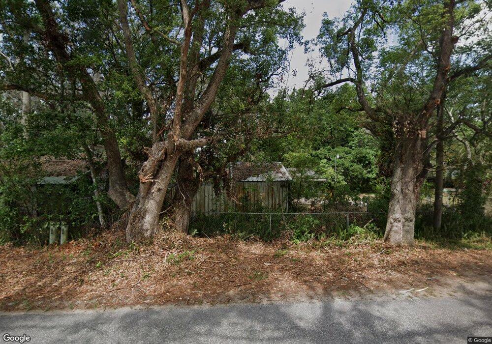
4353 Allen Rd Zephyrhills, FL 33541
Estimated Value: $132,000 - $200,000
1
Bed
1
Bath
1,156
Sq Ft
$151/Sq Ft
Est. Value
About This Home
This home is located at 4353 Allen Rd, Zephyrhills, FL 33541 and is currently estimated at $174,891, approximately $151 per square foot. 4353 Allen Rd is a home located in Pasco County with nearby schools including Chester W. Taylor, Jr. Elementary School, Raymond B. Stewart Middle School, and Zephyrhills High School.
Ownership History
Date
Name
Owned For
Owner Type
Purchase Details
Closed on
Feb 24, 2021
Sold by
Armstrong Robert G and Armstrong Judy Mae
Bought by
Armstrong Judy Mae and Armstrong Robert G
Current Estimated Value
Purchase Details
Closed on
Jun 23, 1998
Sold by
Holloway Shirley A and Holloway Rayford
Bought by
Armstrong Robert G and Armstrong Judy M
Home Financials for this Owner
Home Financials are based on the most recent Mortgage that was taken out on this home.
Original Mortgage
$46,303
Interest Rate
7.14%
Mortgage Type
Purchase Money Mortgage
Create a Home Valuation Report for This Property
The Home Valuation Report is an in-depth analysis detailing your home's value as well as a comparison with similar homes in the area
Home Values in the Area
Average Home Value in this Area
Purchase History
| Date | Buyer | Sale Price | Title Company |
|---|---|---|---|
| Armstrong Judy Mae | $6,000 | Attorney | |
| Armstrong Robert G | $46,400 | -- |
Source: Public Records
Mortgage History
| Date | Status | Borrower | Loan Amount |
|---|---|---|---|
| Previous Owner | Armstrong Robert G | $46,303 |
Source: Public Records
Tax History
| Year | Tax Paid | Tax Assessment Tax Assessment Total Assessment is a certain percentage of the fair market value that is determined by local assessors to be the total taxable value of land and additions on the property. | Land | Improvement |
|---|---|---|---|---|
| 2026 | $1,020 | $94,190 | -- | -- |
| 2025 | $1,020 | $94,190 | -- | -- |
| 2024 | $1,020 | $88,960 | -- | -- |
| 2023 | $970 | $86,370 | $0 | $0 |
| 2022 | $857 | $83,858 | $23,847 | $60,011 |
| 2021 | $1,361 | $74,034 | $22,634 | $51,400 |
| 2020 | $1,287 | $69,763 | $22,120 | $47,643 |
| 2019 | $1,220 | $65,298 | $22,120 | $43,178 |
| 2018 | $1,200 | $64,631 | $22,120 | $42,511 |
| 2017 | $1,121 | $58,203 | $22,120 | $36,083 |
| 2016 | $454 | $44,992 | $0 | $0 |
| 2015 | $456 | $44,679 | $0 | $0 |
| 2014 | $434 | $47,762 | $18,620 | $29,142 |
Source: Public Records
Map
Nearby Homes
- 35427 Coventry Fields Loop
- 35439 Coventry Fields Loop
- 35618 Coventry Fields Loop
- 36837 Judee Dr
- 36958 Happy Days Dr
- 36835 Judee Dr
- 4526 Shuffleboard Ln Unit 3
- 36801 Judee Dr
- 37158 Angel Wings Ave
- 4544 Blooming Ln
- 36922 Euchre Dr
- 37045 Kings Crown Dr
- 4404 Areca Palm Dr
- 37024 Sunrise Tellin Dr
- 36710 Monahan Dr
- 37060 Kings Crown Dr
- 37066 Kings Crown Dr
- 37135 Pauls Dr
- 37092 Kings Crown Dr
- 4211 Lowell Ln
- 4427 Allen Rd
- 4407 Allen Rd
- 4437 Allen Rd
- 36910 Judee Dr
- 4311 Allen Rd
- 4330 Allen Rd
- 37020 Estelle Dr
- 37034 Estelle Dr
- 4251 Allen Rd
- 4242 Allen Rd
- 36830 Judee Dr
- 4404 Seaberg Rd
- 37023 Pepper Dr
- 4235 Allen Rd
- 35768 Kinsey Point
- 35759 Kinsey Point
- 35766 Kinsey Point
- 35677 Kinsey Point
- 35742 Kinsey Point
- 35723 Kinsey Point
Your Personal Tour Guide
Ask me questions while you tour the home.