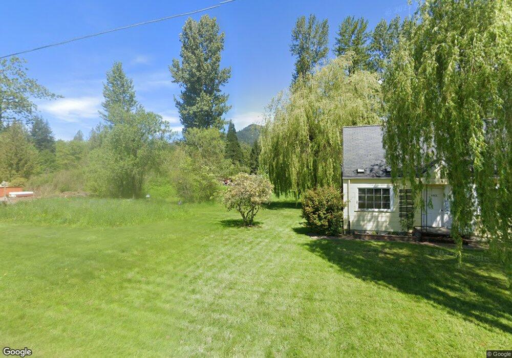
4354 Scutvick Rd Everson, WA 98247
Estimated Value: $480,000 - $730,775
3
Beds
2
Baths
1,846
Sq Ft
$329/Sq Ft
Est. Value
About This Home
This home is located at 4354 Scutvick Rd, Everson, WA 98247 and is currently estimated at $608,194, approximately $329 per square foot. 4354 Scutvick Rd is a home located in Whatcom County with nearby schools including Mount Baker Senior High School.
Ownership History
Date
Name
Owned For
Owner Type
Purchase Details
Closed on
Jun 16, 2022
Sold by
Jo Fuller Sandra
Bought by
Odushicin Peter V and Odushicin Yelena P
Current Estimated Value
Home Financials for this Owner
Home Financials are based on the most recent Mortgage that was taken out on this home.
Original Mortgage
$240,000
Outstanding Balance
$227,014
Interest Rate
5.1%
Mortgage Type
New Conventional
Estimated Equity
$381,180
Create a Home Valuation Report for This Property
The Home Valuation Report is an in-depth analysis detailing your home's value as well as a comparison with similar homes in the area
Purchase History
| Date | Buyer | Sale Price | Title Company |
|---|---|---|---|
| Odushicin Peter V | -- | Whatcom Land Title |
Source: Public Records
Mortgage History
| Date | Status | Borrower | Loan Amount |
|---|---|---|---|
| Open | Odushicin Peter V | $240,000 |
Source: Public Records
Tax History
| Year | Tax Paid | Tax Assessment Tax Assessment Total Assessment is a certain percentage of the fair market value that is determined by local assessors to be the total taxable value of land and additions on the property. | Land | Improvement |
|---|---|---|---|---|
| 2025 | $4,650 | $581,822 | $240,492 | $341,330 |
| 2024 | $5,236 | $572,300 | $239,295 | $333,005 |
| 2023 | $5,236 | $697,944 | $400,731 | $297,213 |
| 2022 | $976 | $572,072 | $328,461 | $243,611 |
| 2021 | $962 | $461,345 | $264,886 | $94,354 |
| 2020 | $966 | $390,968 | $224,478 | $166,490 |
| 2019 | $989 | $344,471 | $197,781 | $146,690 |
| 2018 | $1,013 | $332,117 | $190,688 | $141,429 |
| 2017 | $1,026 | $257,603 | $123,941 | $133,662 |
| 2016 | $1,015 | $248,659 | $119,638 | $129,021 |
| 2015 | $1,330 | $237,478 | $114,258 | $123,220 |
| 2014 | -- | $223,614 | $107,588 | $116,026 |
| 2013 | -- | $223,614 | $107,588 | $116,026 |
Source: Public Records
Map
Nearby Homes
- 4251 Mt Baker Hwy
- 4730 Mt Baker Hwy
- 0 Mt Baker Hwy Unit NWM2371192
- 0 Mt Baker Hwy Unit NWM2489013
- 0 Mt Baker Hwy Unit NWM2230071
- 5242 Scarlett Way
- 3999 Deming Rd
- 3772 E Hoff Rd
- 3557 Cedarville Rd Unit 25
- 5947 Lawrence Rd
- 3067 E Smith Rd
- 5544 Sand Rd
- 5196 Sand Rd
- 4126 Caron Rd
- 5566 Williams Lake Rd
- 5860 Bell Creek Logging Rd
- 4086 Valley Hwy
- 3395 Mack Rd
- 3090 Cole Rd
- 2200 E Smith Rd
- 4354 Scutvick Rd
- 4366 Deming Rd
- 4372 Deming Rd
- 4326 Deming Rd
- 4367 Deming Rd
- 4335 Deming Rd
- 4304 Deming Rd
- 4414 Deming Rd
- 4405 Deming Rd
- 4295 Deming Rd
- 4288 Deming Rd
- 5326 Williams Rd
- 4437 Deming Rd
- 4266 Deming Rd
- 4345 Williams Rd
- 4248 Deming Rd
- 4485 Deming Rd
- 5548 Hillard Rd
- 5560 Hillard Rd
- 4239 Deming Rd
Your Personal Tour Guide
Ask me questions while you tour the home.